Sugar Loaf

Hike Date: May 28-30, 2016
Trail: Superior Hiking Trail
Trip Plan: 2 nights, not well planned at all. Park at Sugar Loaf Road lot and yo-yo with a long middle day Sunday.
Day 1 – Hike north from Sugar Loaf (~10 miles)
Day 2 – Hike south from a campsite, past the car, and continue south (~30 miles)
Day 3 – Hike north from a campsite to the car (10-25 miles)
Stats:
- Total Miles: 46
- Total Time: 30:18
- Time Hiking: 14:51
- Time At Camp: 15:27
Gear and Food: 5-28-16
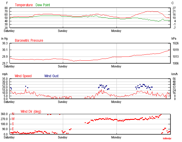
Weather:
Trip Synopsis:
Day 1 – Saturday, May 28, 2016
Garmin Data:
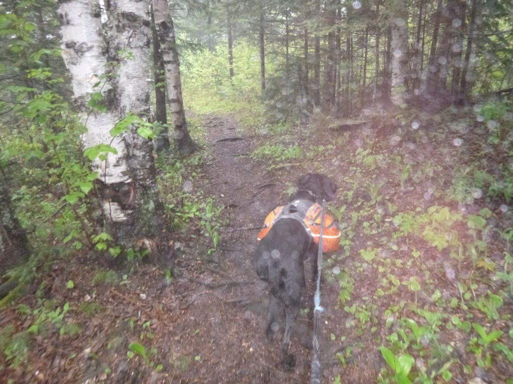
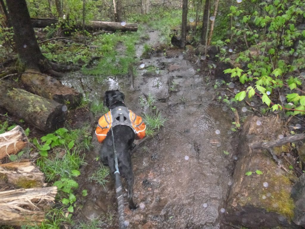
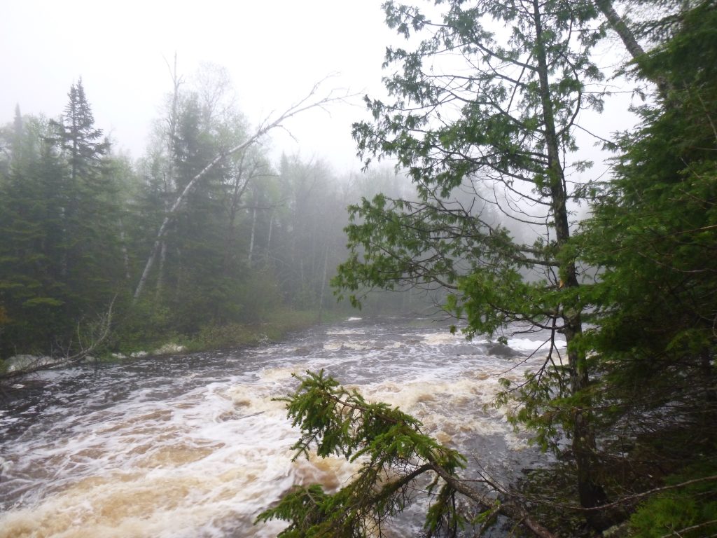
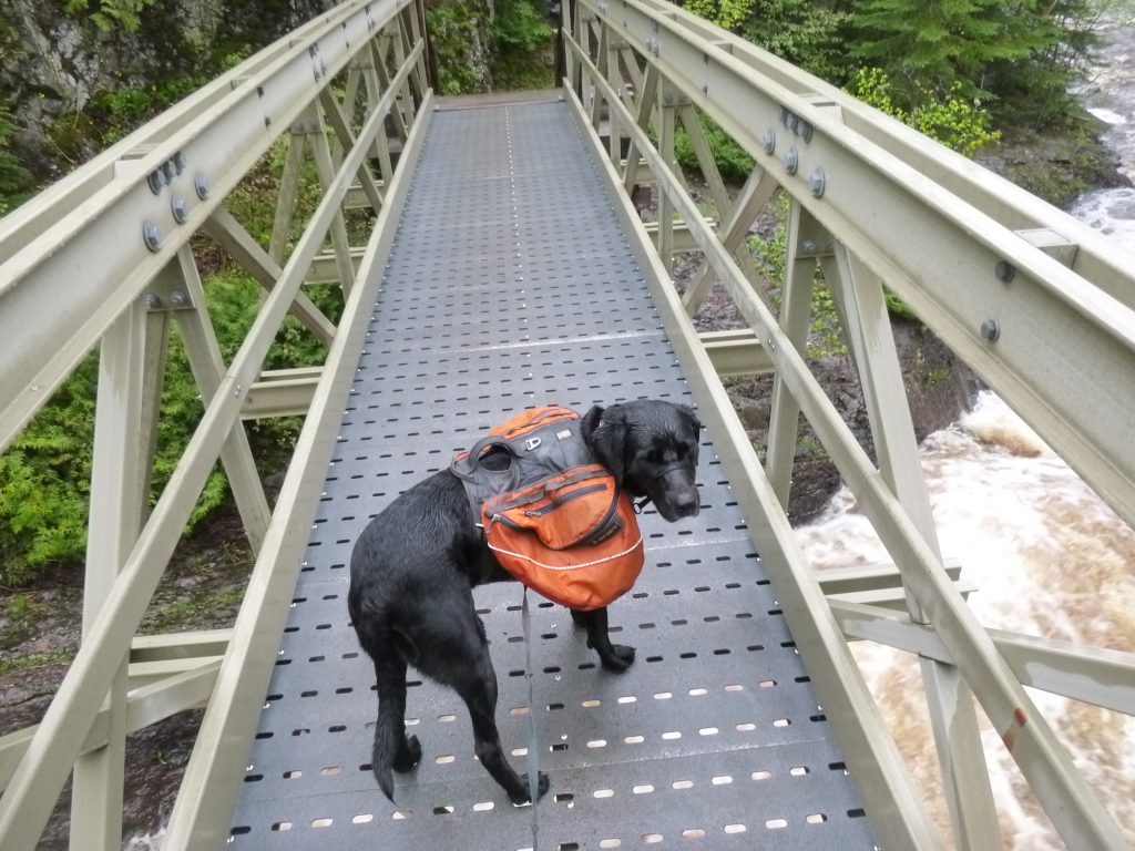
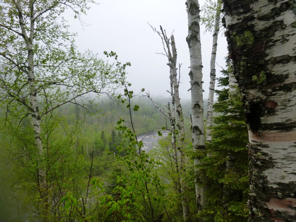
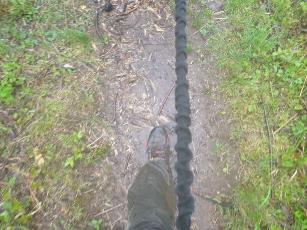
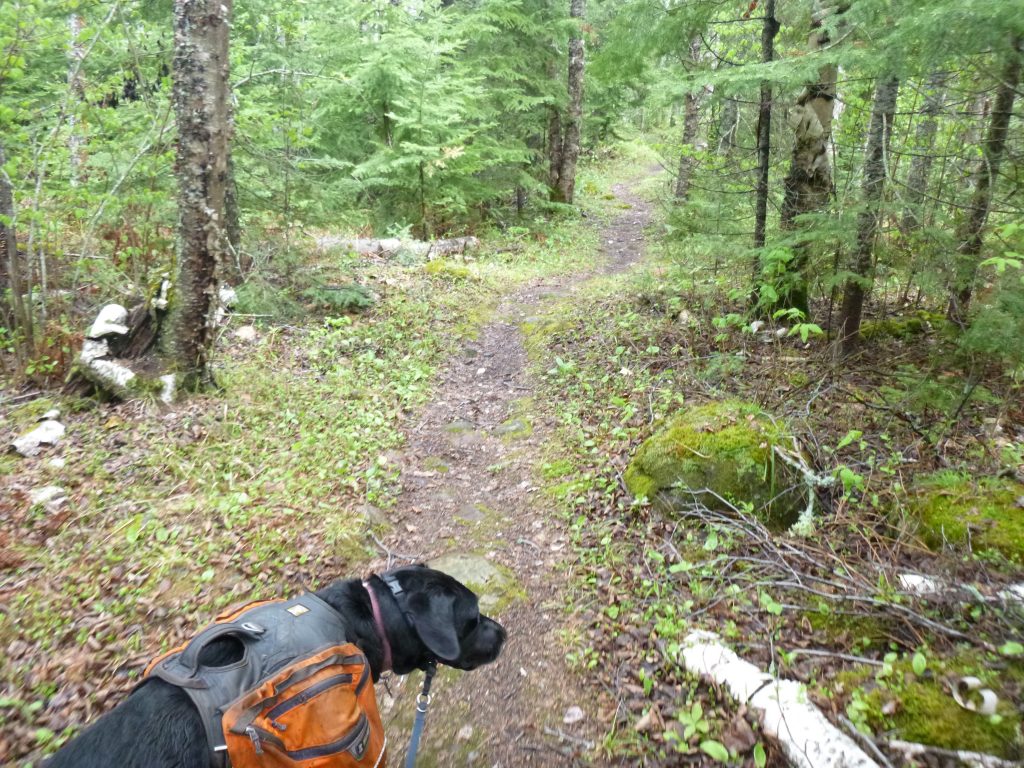
As Diamond and I drove up Sugar Loaf Road into the fog and mist, I was happy it wasn’t raining, like the forecast suggested. Once we got out of the car, I realized that the parking lot was pretty muddy. It then dawned on me that the trail is probably quite muddy. In fact, I could see water on the trail 50 feet away!
Rewind 5 days, and everyone at the ol’ office was really excited for the long Memorial Day weekend. The forecast for rain was set in stone, so to speak, as Friday drew near. My initial plan for the weekend was to take Friday off of work, and try to roll big miles–120 by utilizing Thursday night and all the way through Monday. I realized far out that it was probably not my best use of time off, and so I figured I’d still have 3 full days of hiking, plus any mileage I could get on Friday after work. With rain for four days straight, I was rethinking my plan quickly. I ultimately decided on Thursday night that I would not go out until Saturday at the very least, if at all.
Luckily, by Friday, the meteorologists were predicting less rain and more of a dreary, foggy and cloudy weekend. That is OK! I made the plan to go out on Saturday at my convenience. No rush as to let the rain clear out. On Friday night, I became completely absorbed in a down top quilt DIY project (which is another blog post for another day), and I didn’t get in gear until the afternoon. With no plan in place, I figured Sugar Loaf Road would be a great place to park for a yo-yo- style hike. Up the first day, down past the car for the big second day, then back up to the car. I knew I wanted to try to rake up 30 miles on Sunday, so the other two days just have to add up to 30.
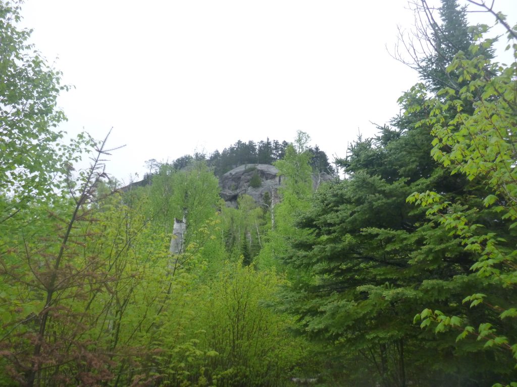
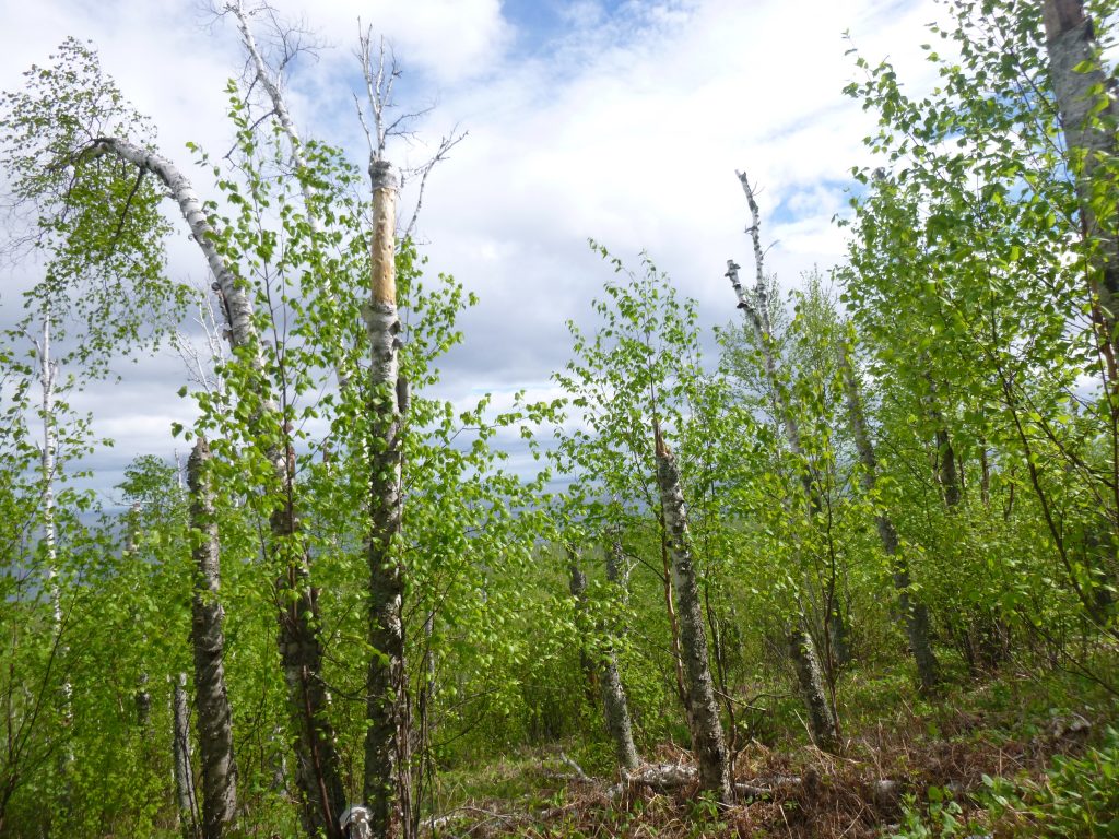
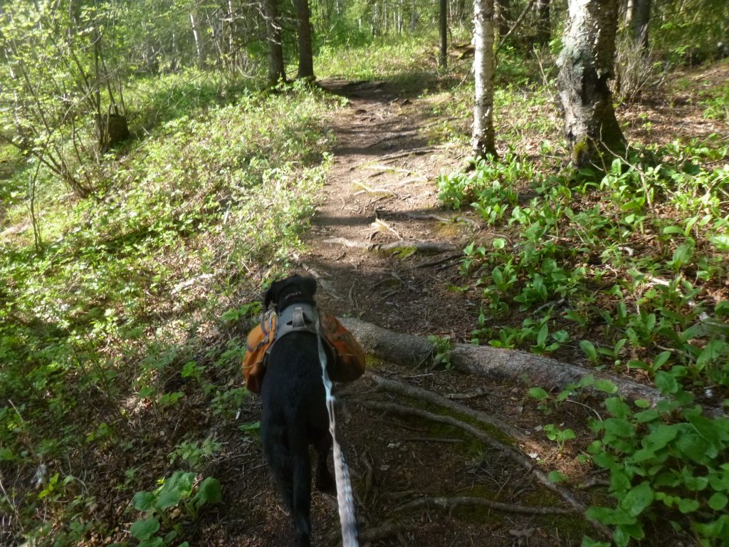
So we parked and got out, and I thought of the mud and water… a thought that hadn’t crossed my mind yet. Diamond and I set off, and what a good feeling to be on the trail! In 15 minutes, however, my socks were wet. Oh well, they won’t be getting much drier from here! We were heading north, and I figured we had at least 4 or 5 hours before it got too late to hike and set up camp and such. Given my 3 MPH target, that translates to 12 to 15 miles. Unfortunately, there were no campsites in that range. The last site that would be plausible to hit was North Cross River at ~11 miles. Beyond that, I’d have to hike up and over Carlton Peak, one of the biggest climbs on the SHT if I’m not mistaken, and another 5 miles or so. I was looking at 20 or so miles, and that wasn’t possible. Back to Cross River I guess! In the winter, that was an awesome campsite, but it seems ridiculous to camp at the same site twice with all of those option!
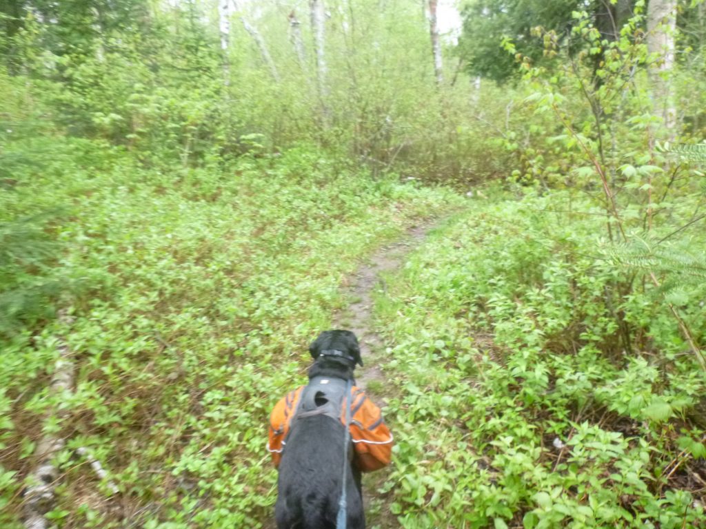
I saw one girl backpacking with her dog almost right away, and then didn’t see anyone else until another solo hiker along the Cross River. We’d done this whole section not 5 months previous, but in the wintertime (see link above), and it was just as stunning in the summertime.
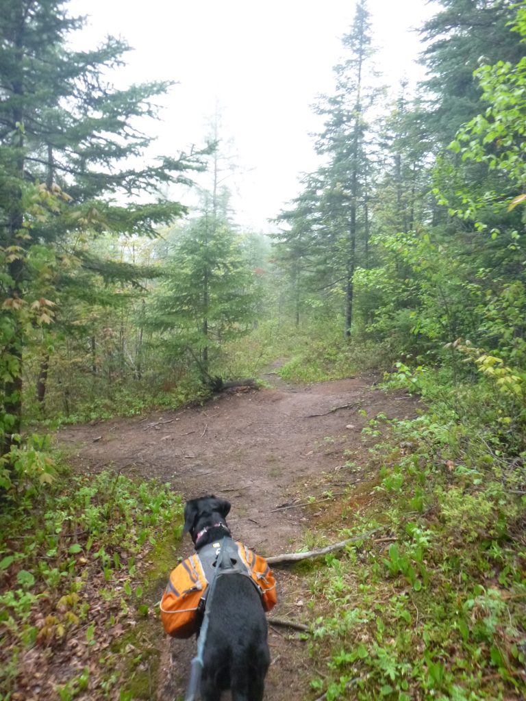
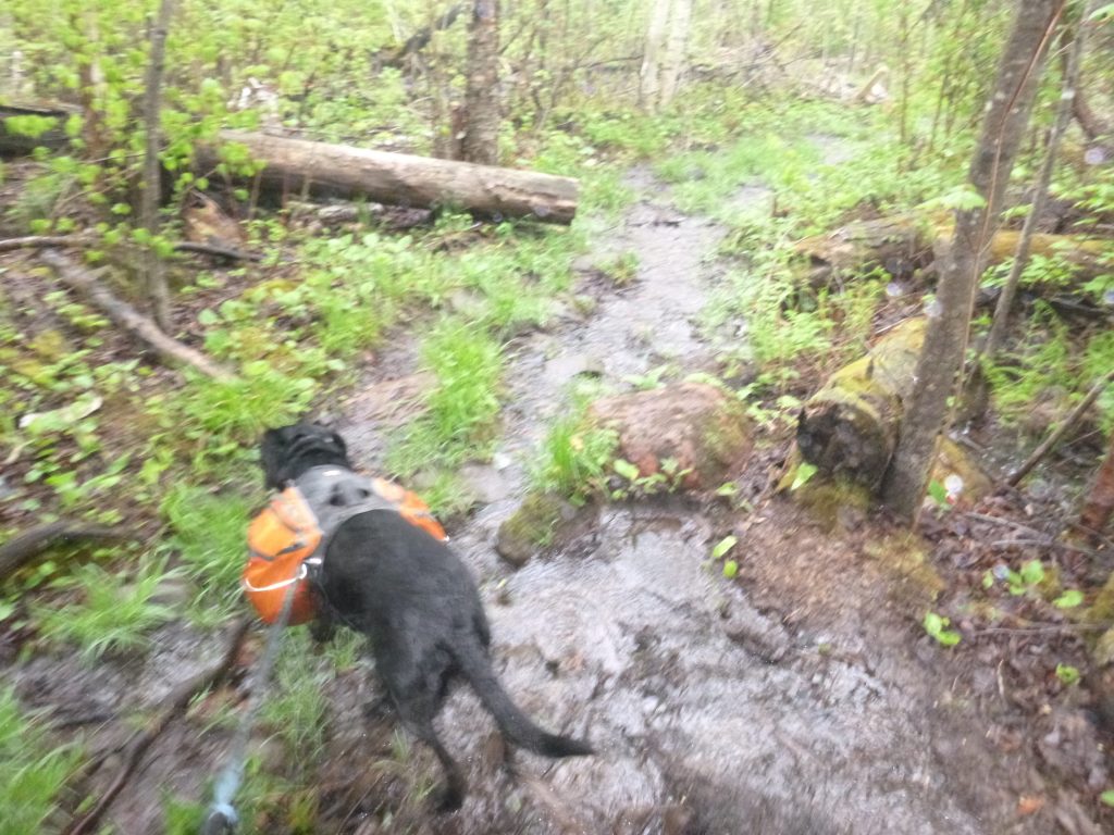
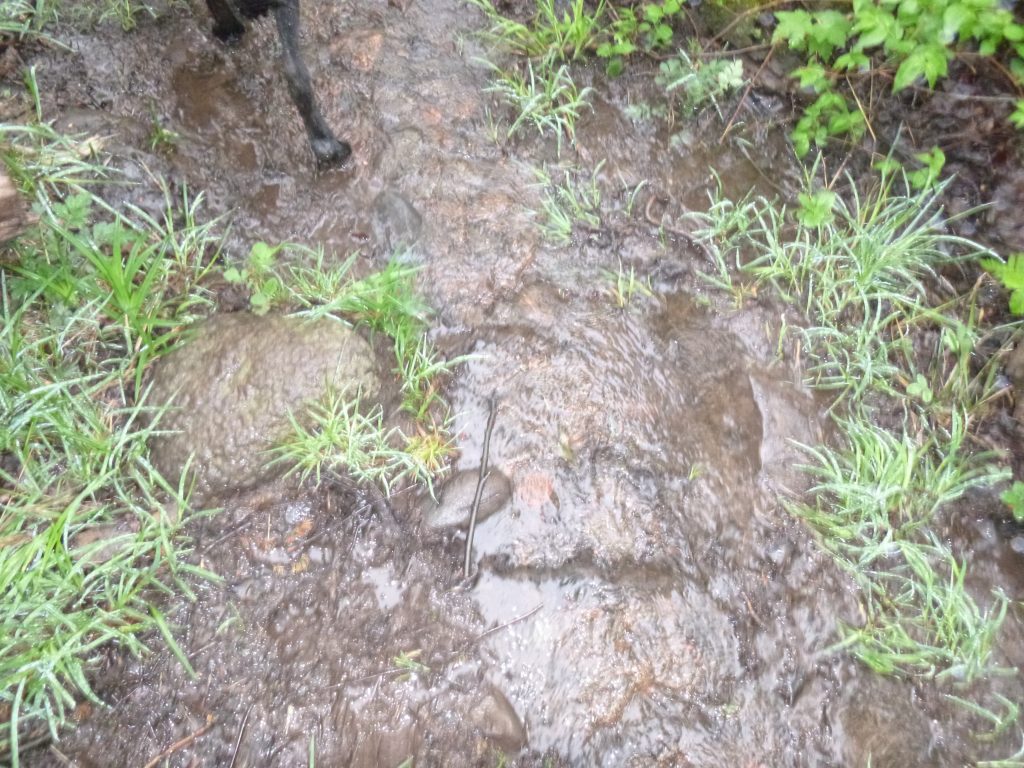
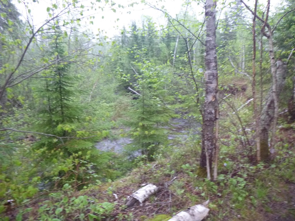
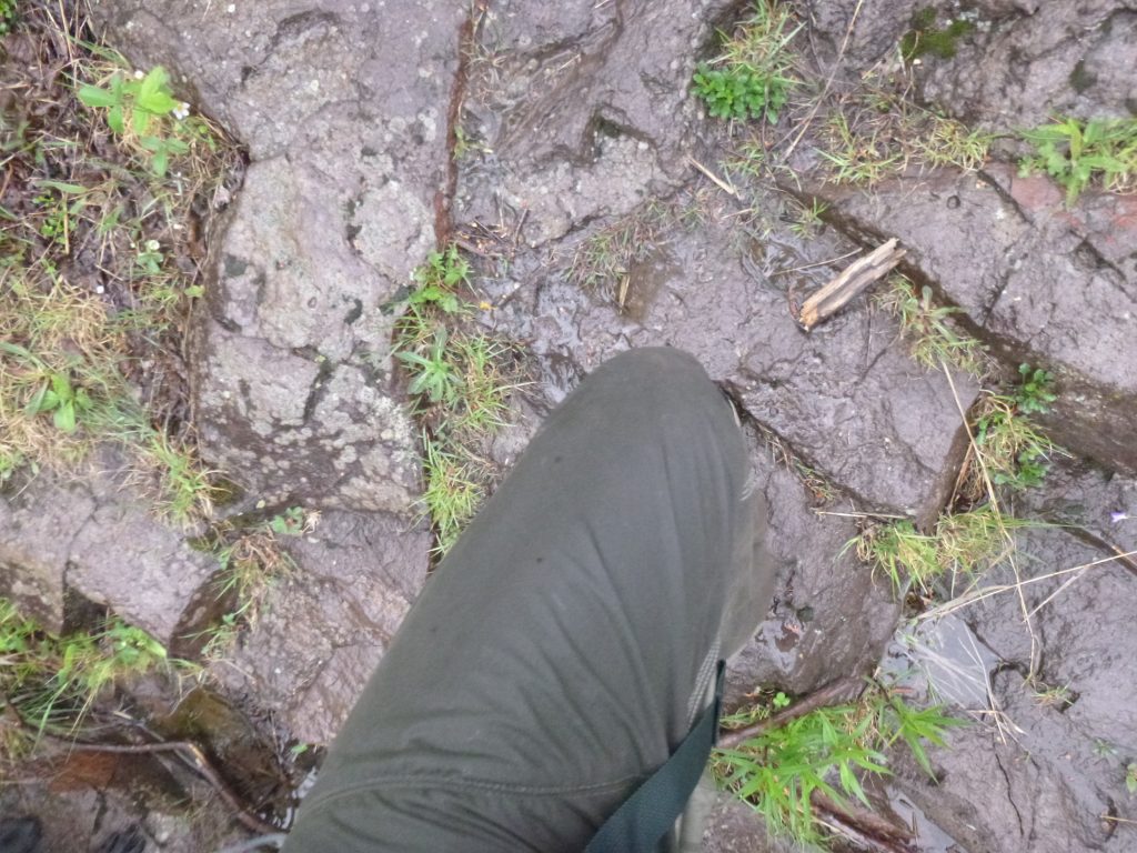
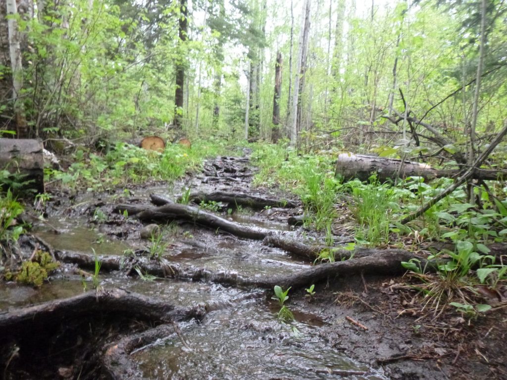
The variety in terrain in just 8 miles is incredible, from following bubbling cricks to swampy pond areas, to large forests, to the powerful Cross River, you get a great mix. The trail got more and more saturated as we went, to the climax near Dyer’s Creek where the Superior Hiking Trail had a stream of water literally flowing right down the direct center. I think it was technically the west branch of Dyer’s Creek. After that, mud over my shoes. Dimey was truckin’ right through.
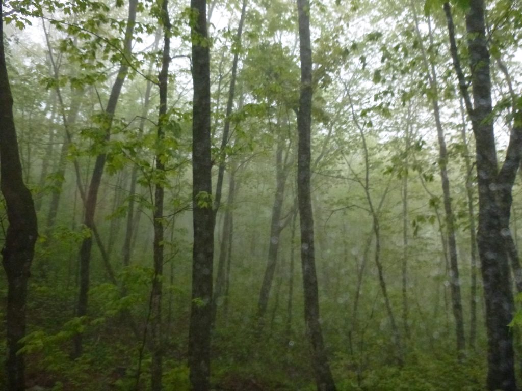
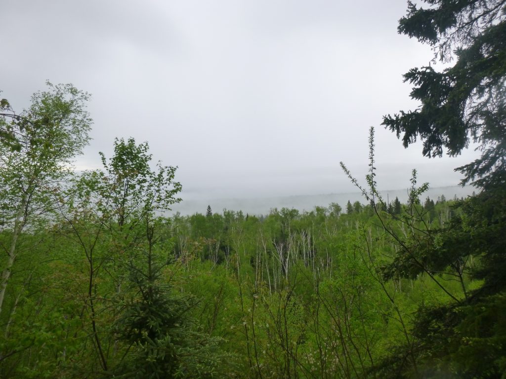
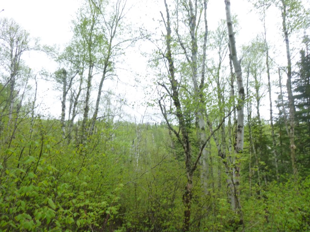
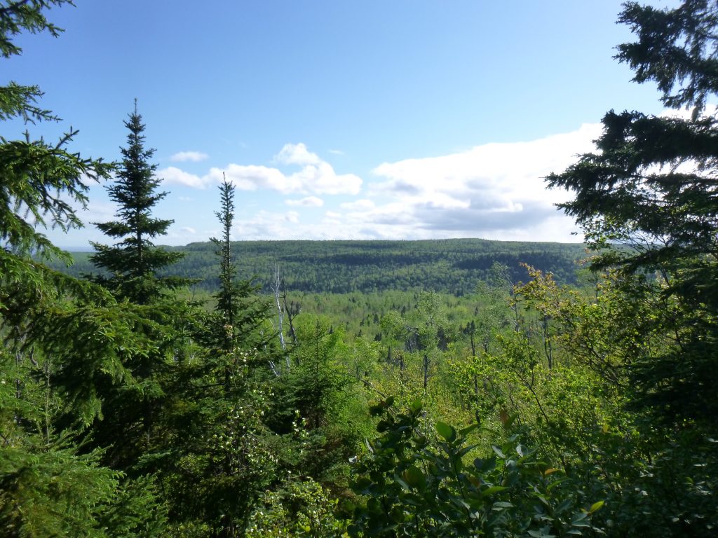
We were feeling good past Cook County Road 1 and into the woods. The Tower Overlook was really pretty boring because of the dense fog. Every overlook or break in the trees brought the same grey view. No bugs was nice, though.

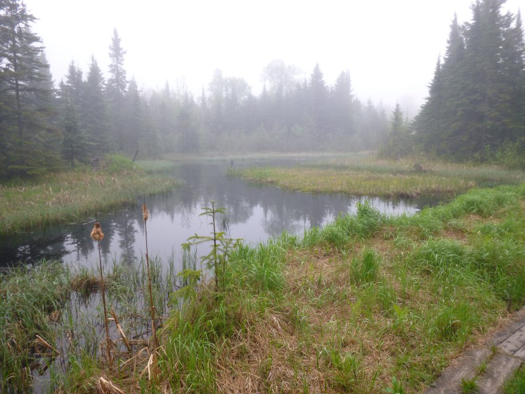
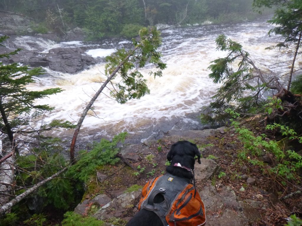
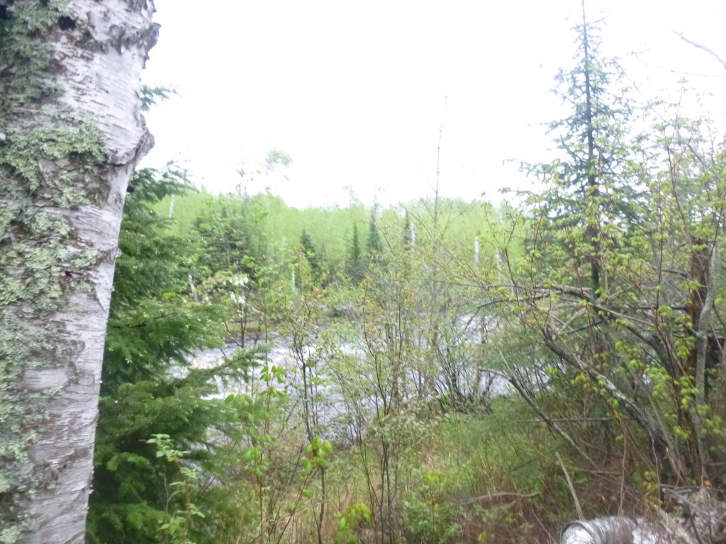
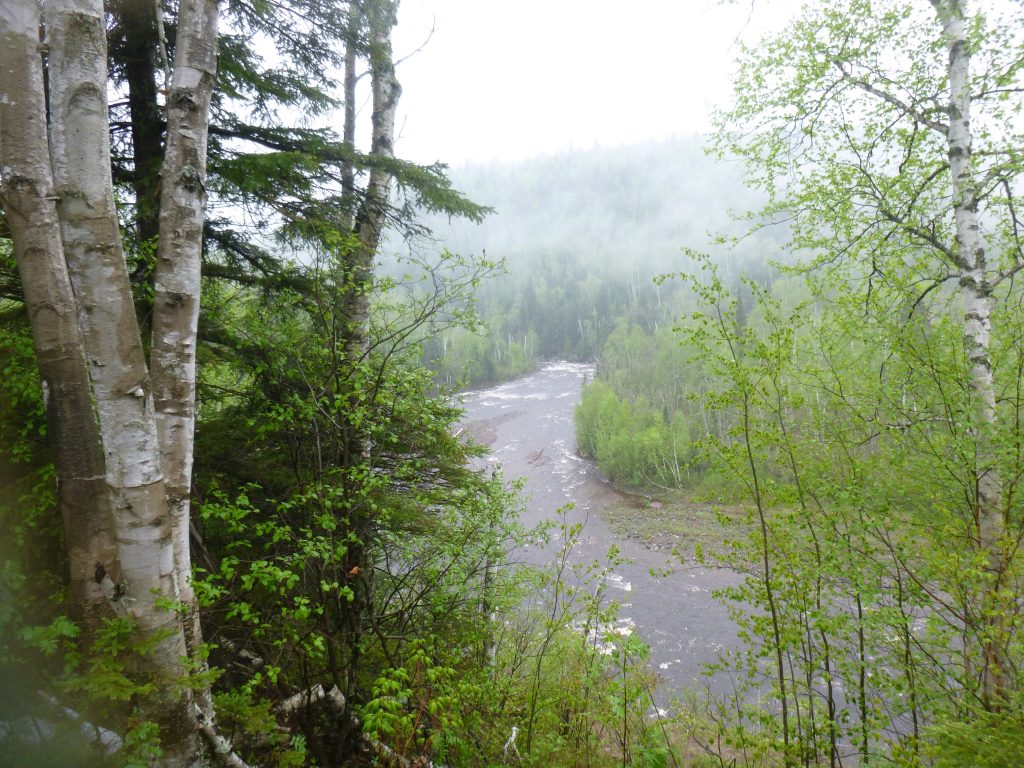
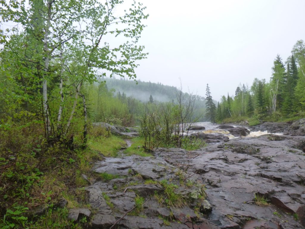
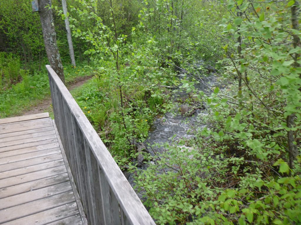
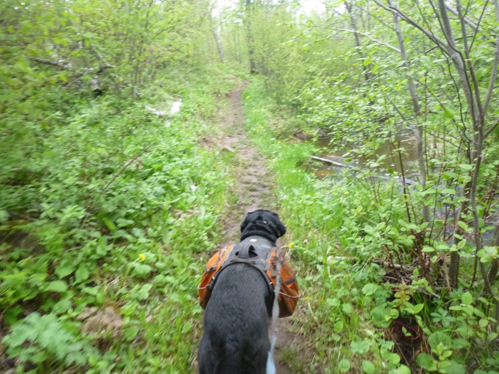
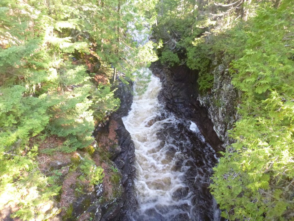
The section beside Boney’s Meadow went quickly, and we crossed of Fredenburg Creek soon enough, and jetted right past the campsite there. Another few minutes and we were already at the Cross River. What a roaring, energetic river! Just hearing it and watching the water rush down towards Lake Superior was energizing to me.
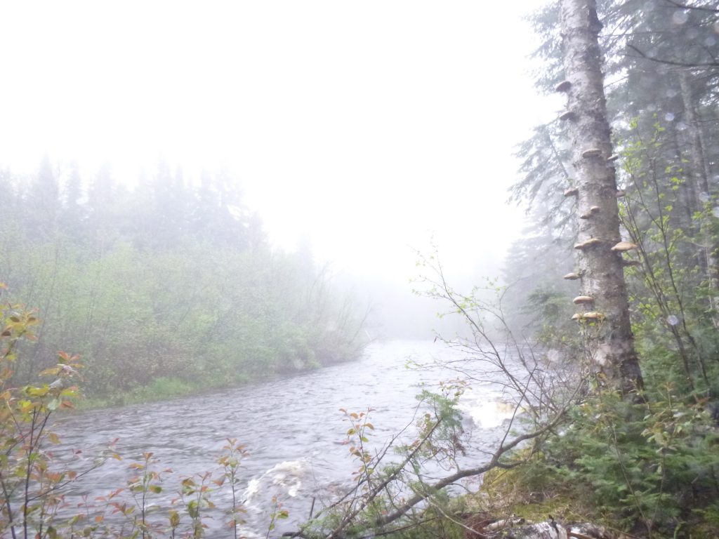
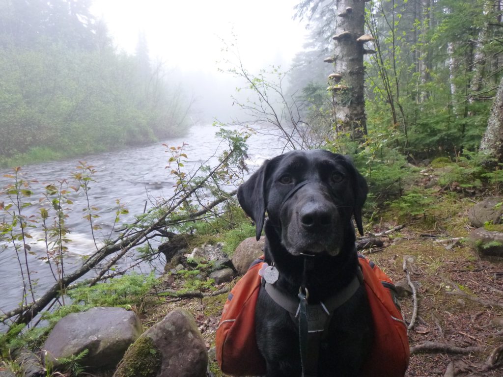
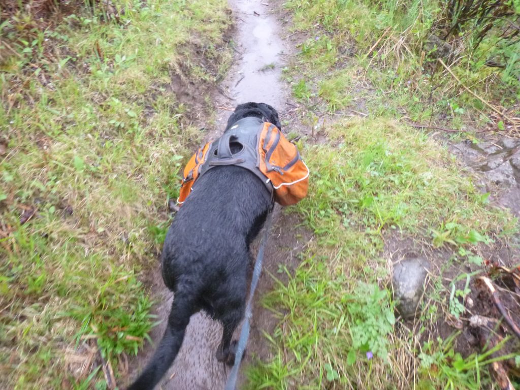
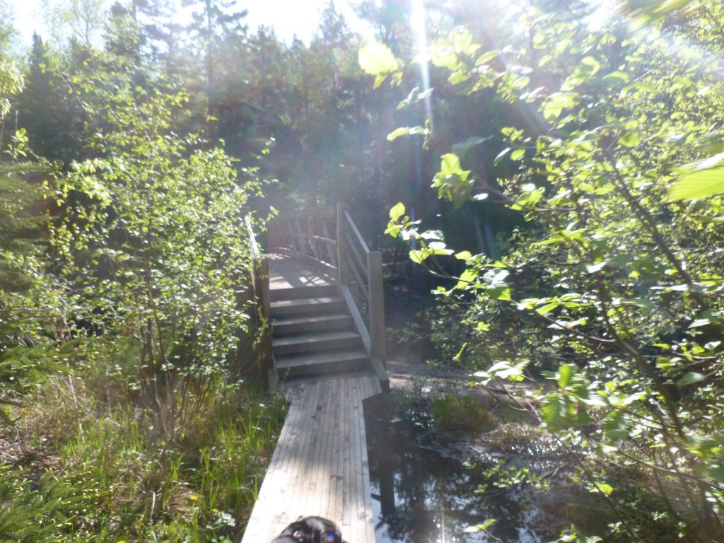
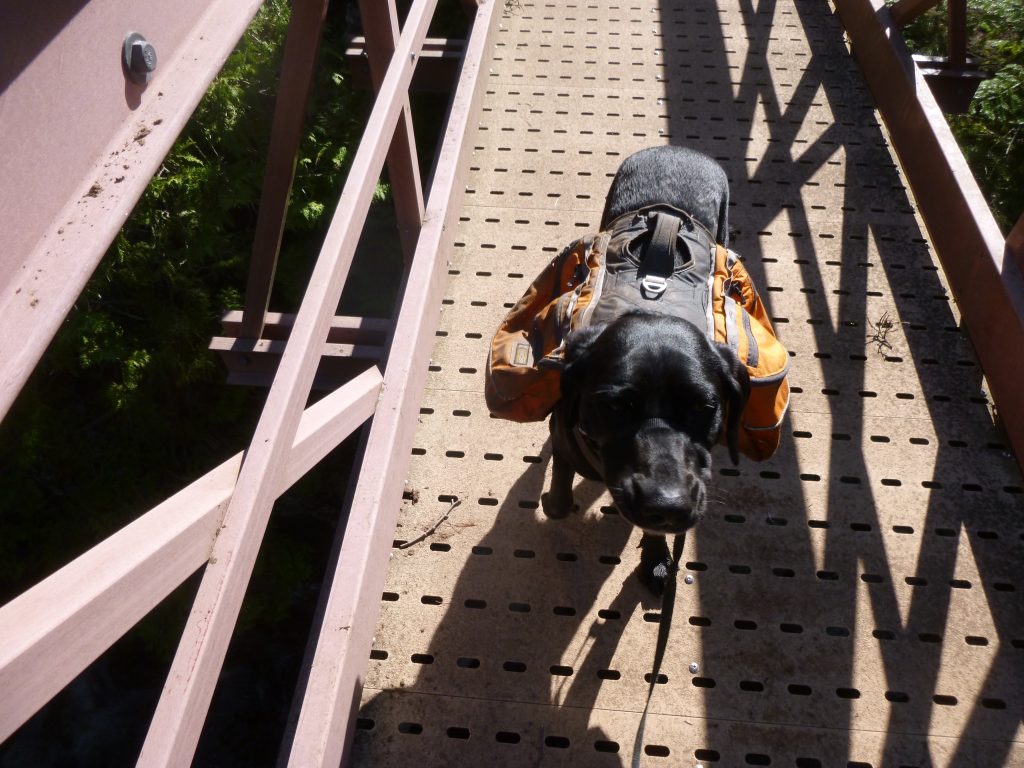
The rocks and boardwalks were very slick, and I was happy to keep my feet below me. Just as I was expecting, we descended a rocky hill into the Cross River Campsites. In the interest of staying at a different campsite, I scoped out South Cross River, but opted to hike another 50 feet to the North Cross River. Diamond was not fatigued at all and was running around like a nut when I unleashed her. I set up camp quickly and had a nice meal of dehydrated refried beans and rice and cheese and chips. Before it was dark, we were huddled in the damp tent, everything damp. I had high hopes that my socks and shoes and pants would dry out completely by the morning.
Day 2 – Sunday, May 29, 2016
Garmin Data:
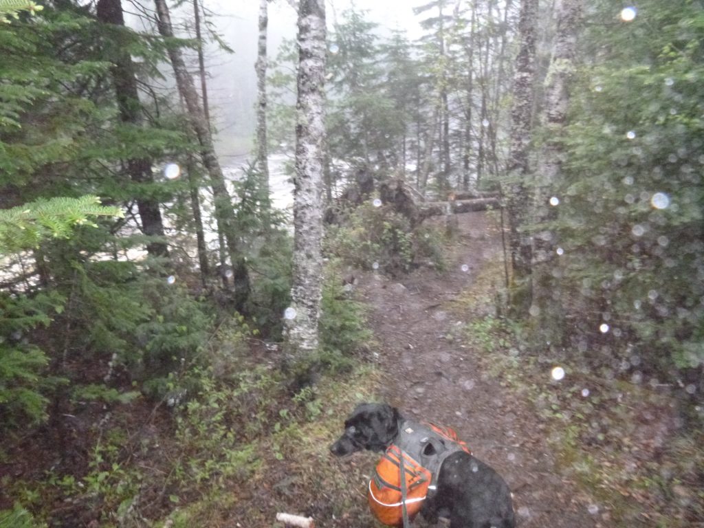
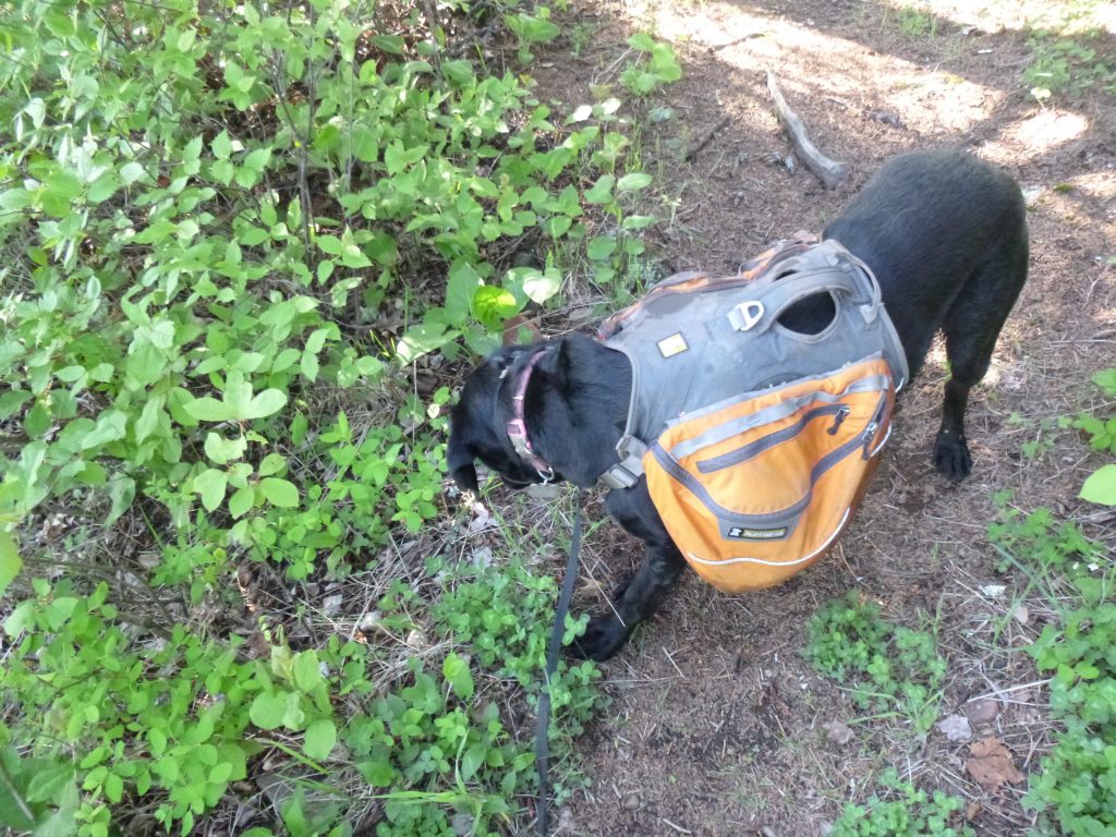
The day started off very early. What time, I do not know. It was light, and Diamond was looking for her food. I leashed her and we got the food from her pack in the tree. She ate in the tent and then both dozed off. When we woke up next, I actually checked the clock and it was 7:30 or so. Time to go! I let the beast out of the tent, and was sad to see that everything was still very wet. To top it off, there were slugs everywhere. Pretty simple to flick ’em into , but to see slugs dragging their slimy butts all over my stuff was nasty at 7am. We got packed up and ready to go quickly, and Diamond finally slowly walked over to me to I could slide on her soaking wet and muddy doggie pack. Sorry!

The night before, I’d done a bit of brainstorming, and thought I could do an out-and-back quick to Carlton Peak, past the car until Dime and I were tired. That way, it would be a nice and short walk to the car on Monday. The goal was 30 miles. The weather had not changed whatsoever, and it was still foggy, damp and dreary. We set off feeling good. I ate my breakfast bars quickly and before long, were on top of Temperance River, awaiting the long decent to that deep gorge. Diamond was keeping a good pace and was pulling my hips with every step.
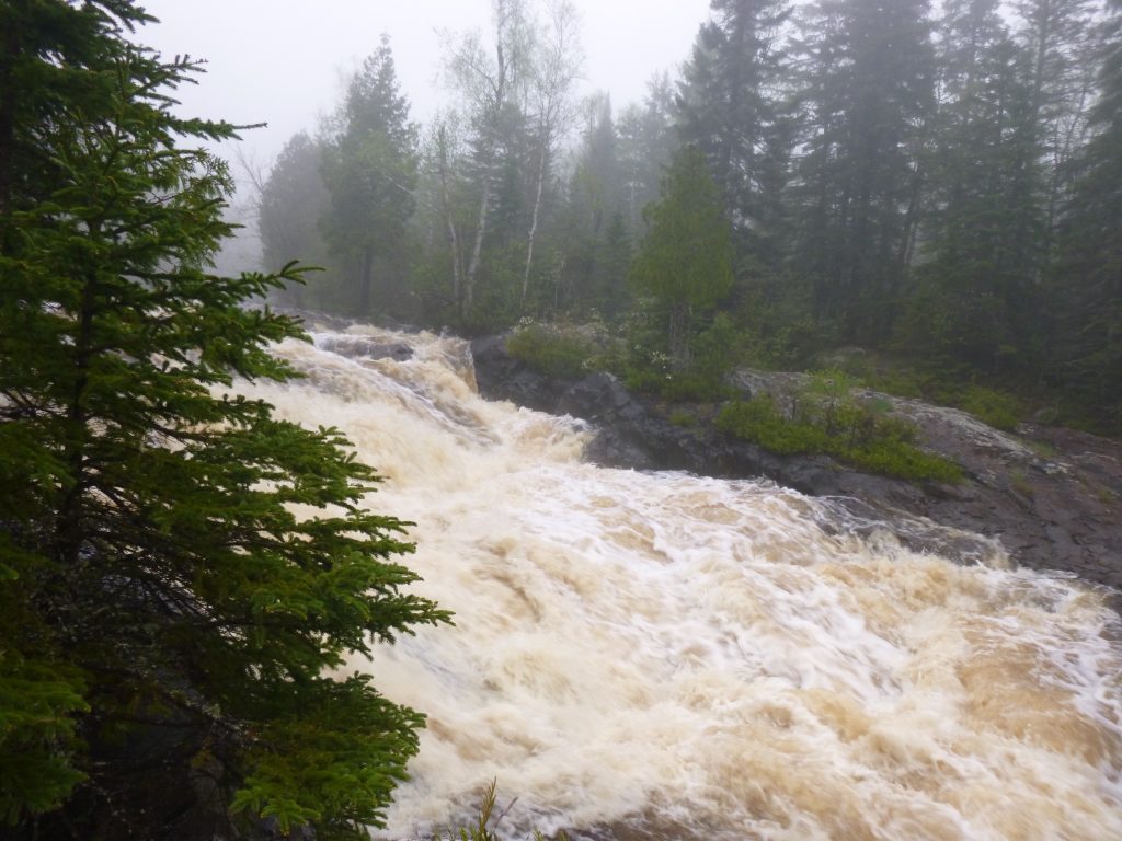
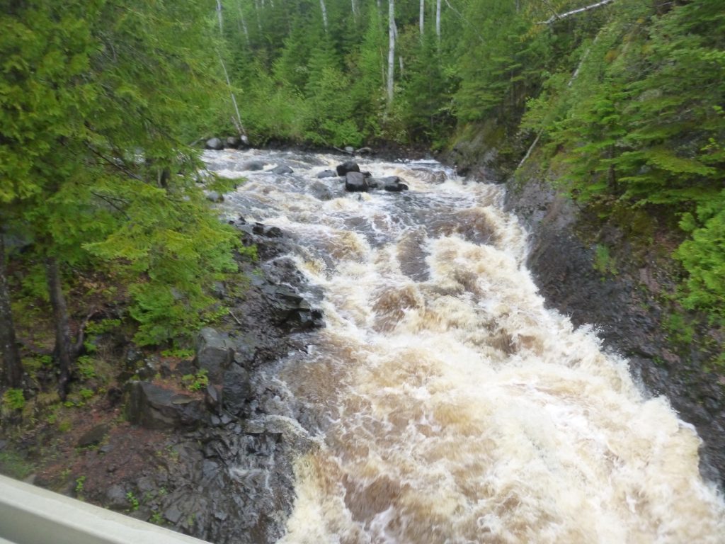
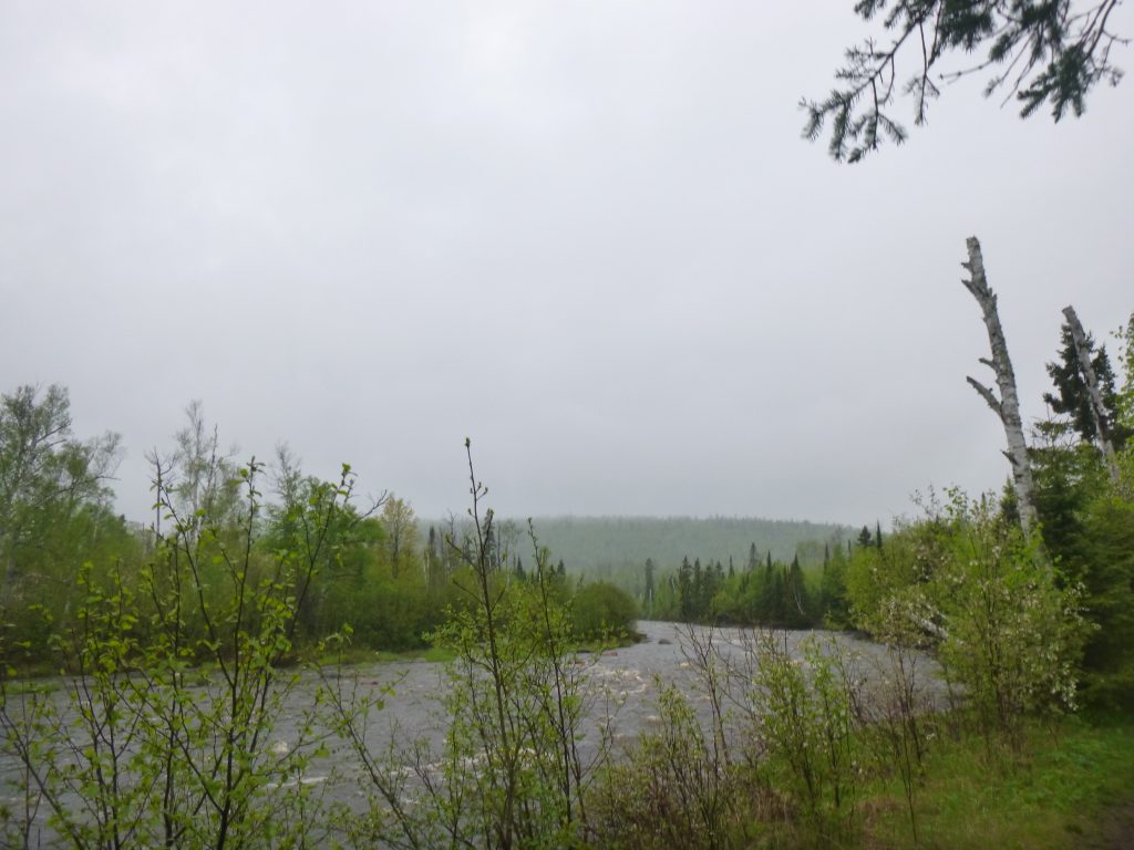
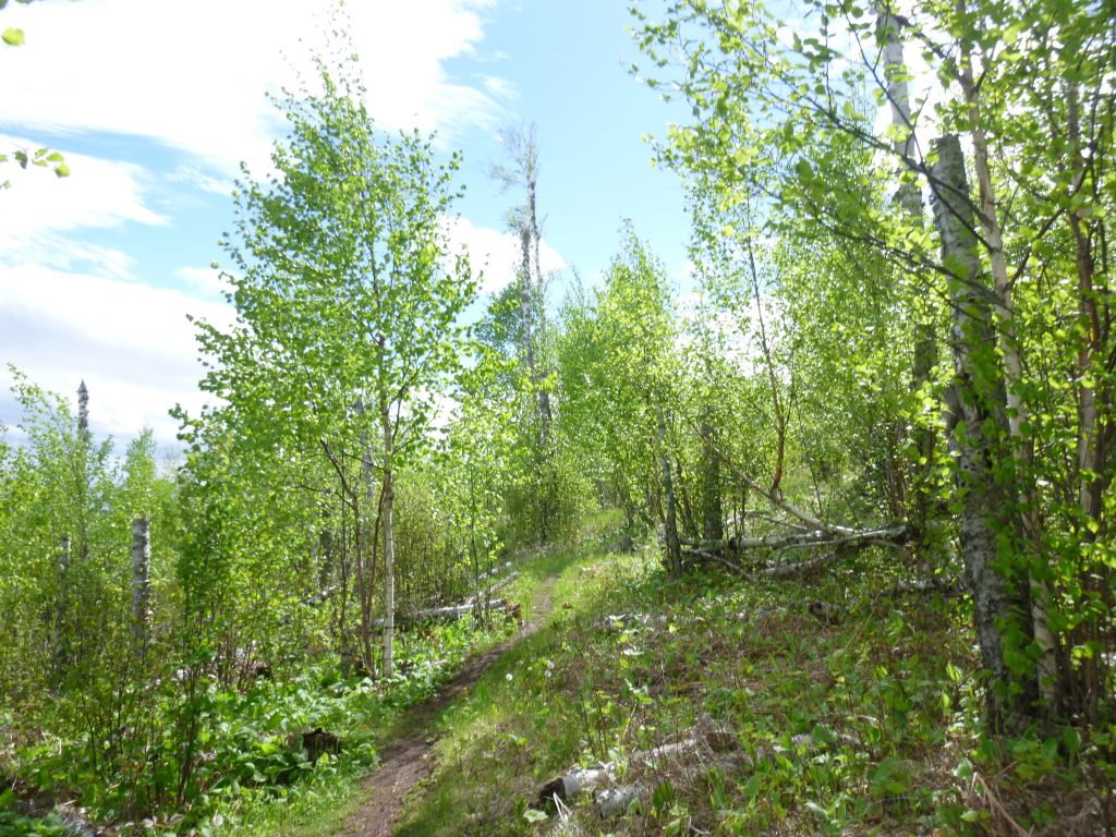
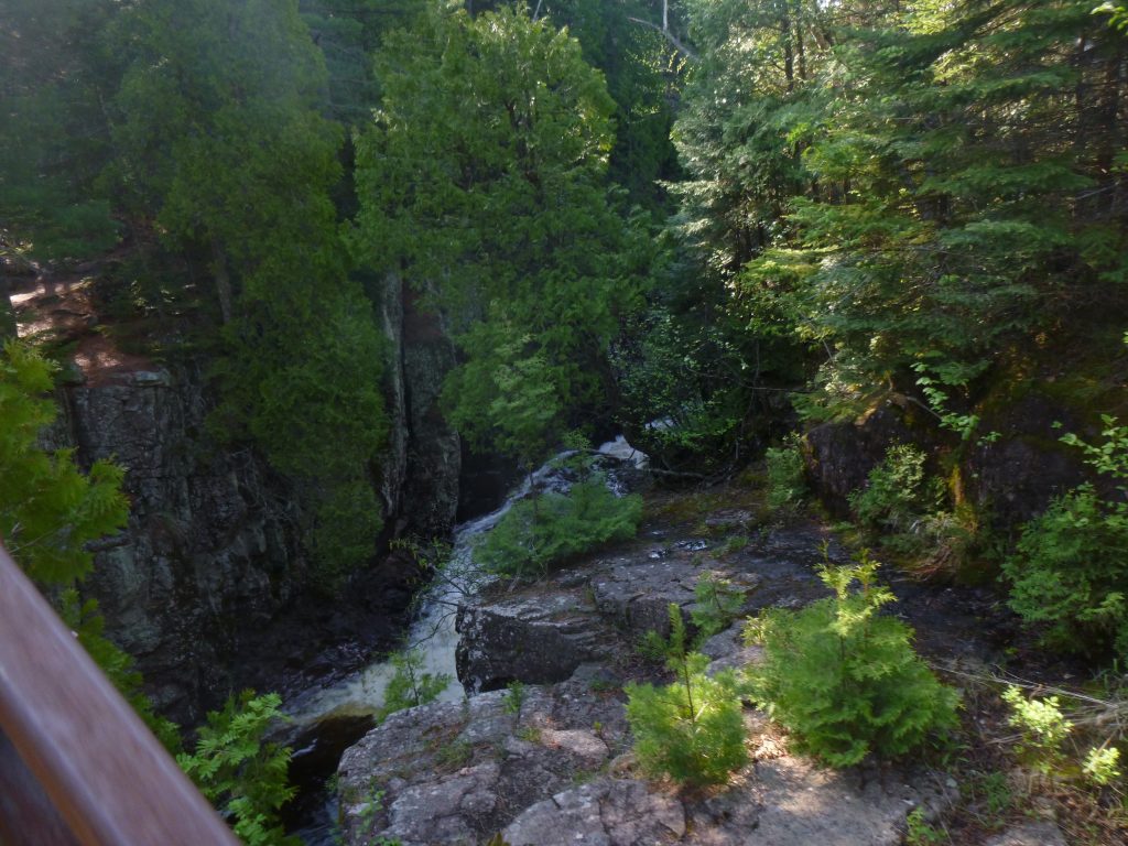
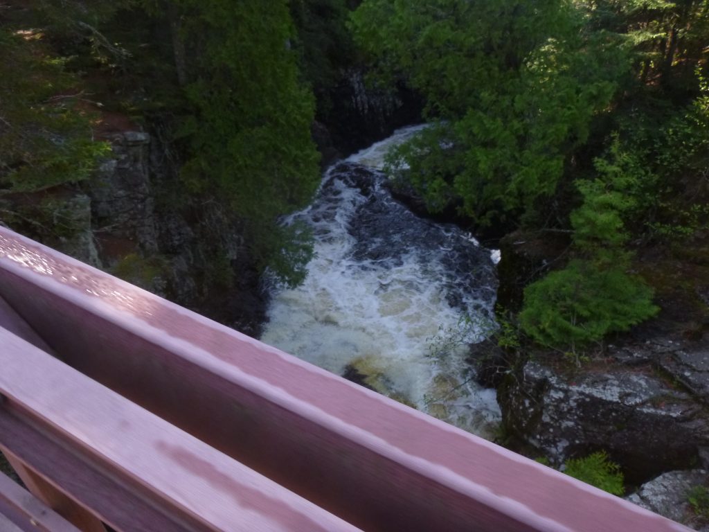
Down the large hill–not looking forward to going back up that thing–and we were alongside Temperance River. The mud was out today! Maybe it was the time of year or the recent rain, but that river was raging! The waterfalls were incredible, and it was hard to keep walking with so many great overlooks to the deep gorge that the Temperance has carved. We started seeing people now that Diamond and I were in the state park.
We crossed the bridge, went up the opposite side of Temperance River, next stop Carlton Peak. I did some quick math and realized that we’d be at 12 miles or so when we get back to the Cross River, plus 11 miles back to the car, which meant that our Monday was going to be puny! I was kind of bummed that I didn’t plan it out better, but didn’t want to turn around or anything. I wanted to get up to Carlton, and really, the short day on Monday wasn’t the worst thing in the world. It would be very nice to get back into civilization at a reasonable hour.
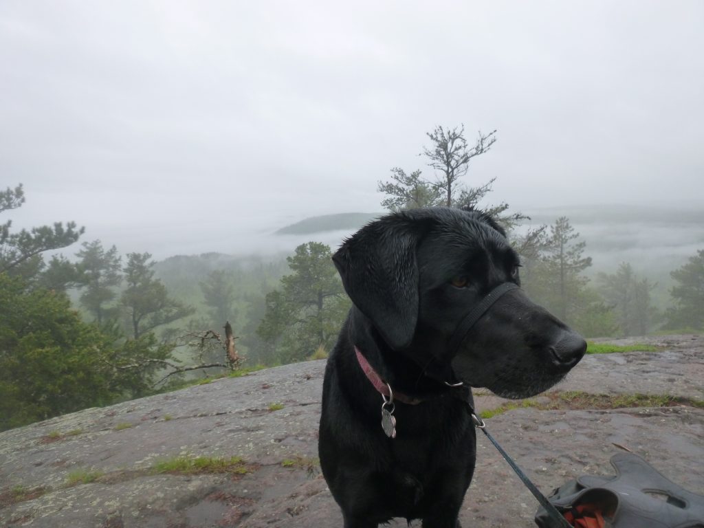
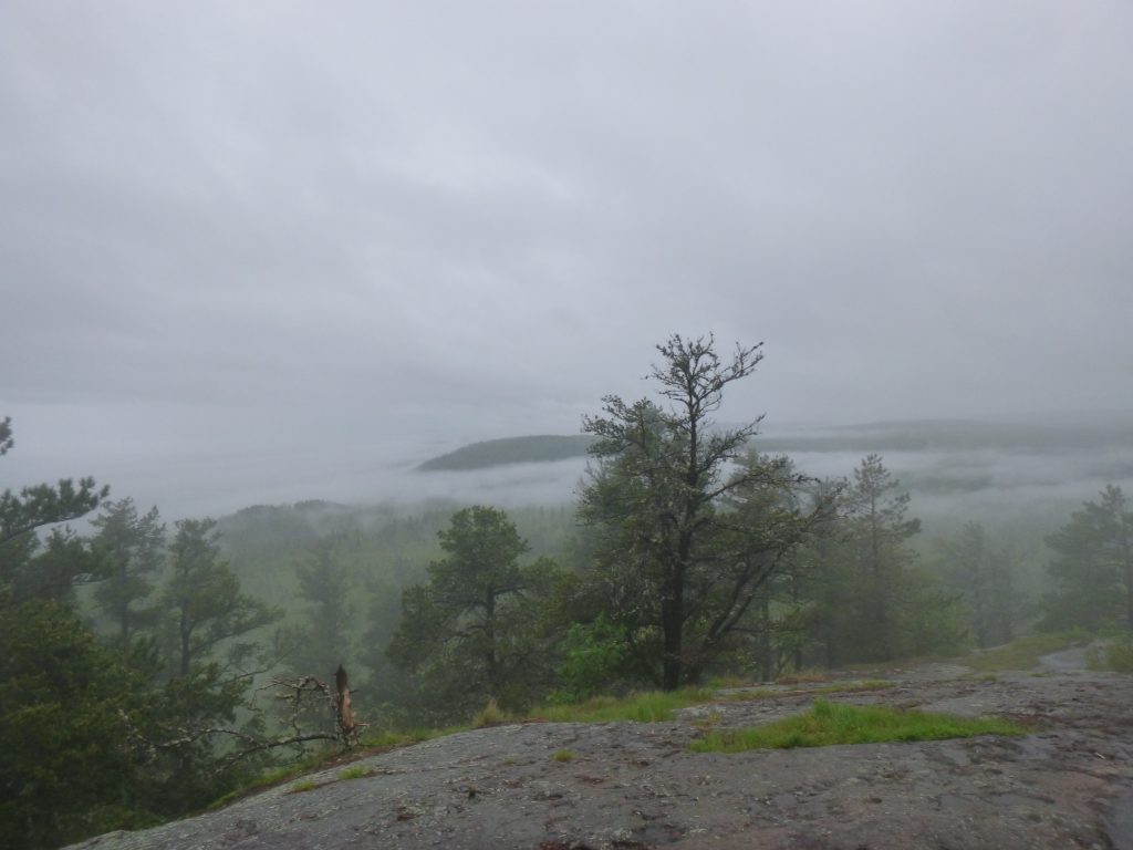
It was slow going up to Carlton, but worth it for the sweet view. At this elevation, we were slightly above the fog, and could see it crawling between peaks and valleys in every direction. The big Lake was completely obscured, but I saw the slightest break in the clouds to the north, and hoped it would clear out so we could dry everything out at camp. But that was another good 24 miles away. For now, we eat. My shirt was soaked in the back.
The climb down from Carlton Peak was worse. Everything was slippery. Then it started raining. I judged when I should put on my rain jacket by how wet my shirt looked. In the sprinkles, there was no indication that water was falling. By now, I could see the raindrops. It sounded like the rain was coming down harder up above the trees, so I put on the sweltering rain jacket. What a relief, though, as the rain did indeed get worse. I had the hood up, and before long, Diamond was soaking wet and trying to shake off every 15 minutes to no avail. My pants were soaked besides behind my knees. There were day hikers here and there, and everyone was in the same boat… wet.
By the time we started climbing back towards the Cross River, it was still rainy. The climb wasn’t as bad as I’d expected after the grueling Carlton Peak, and I started counting worms. There were worms all over the trail, and Dime would step on ’em and they’d squirm and shrivel up. I got to 38 or so and figured that counting worms was a stupid game. It was hard to think of hiking for many, many more miles when we got back to Cross at around noon, but kept hiking anyways. The day was still dreary as ever, and we stopped for lunch at the Ledge campsite on the Cross River. I let Dime off for a bit and she was doing circles in the dirt. You’re not tired?!?!? I yelled at her.
Before long, we’d done 8 more miles and was back at the Dyer’s Creek mud pit. By now, the day had completely changed and it was sunny. It was short lived, however, and the sky would turn grey quickly and sprinkle a bit, then clear out. This happened a few times during the afternoon. I had the idea of dropping out heavy on my mind. I figured that if my pants were completely dry by the car, I’d keep going. If not, we’re done. When we got to the car, I didn’t stop, didn’t think of anything except to keep walking. We barely looked at that ol’ rusty Subaru!
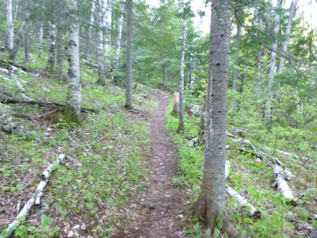
There was a campsite atop Horseshoe Ridge, and the sign near my car said Horseshoe was 6.1 miles away. That seemed like the ticket, as Dime had dropped back and wouldn’t hike in front of me, and I was becoming very tired. The site beyond that was perhaps another five miles. Another hour or two… nah. Right past the car, we entered into a pine forest. I told the forest that I liked pine forests. I was in good spirits despite the fatigue. Just to push past the car and NOT drop out was plenty to be happy about.
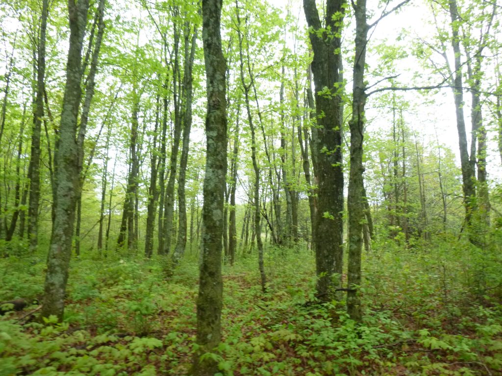
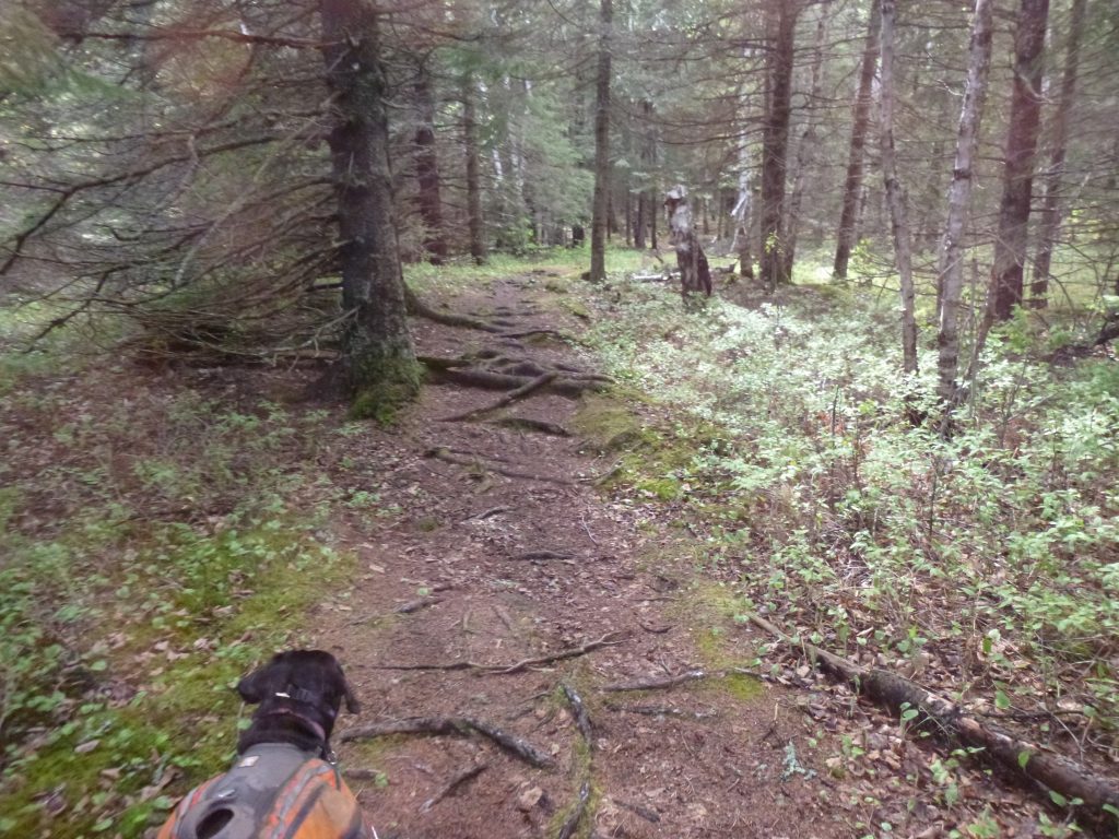
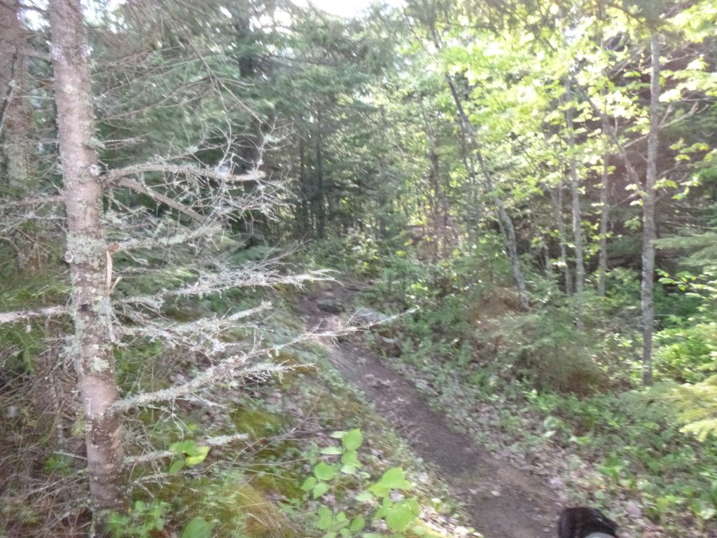
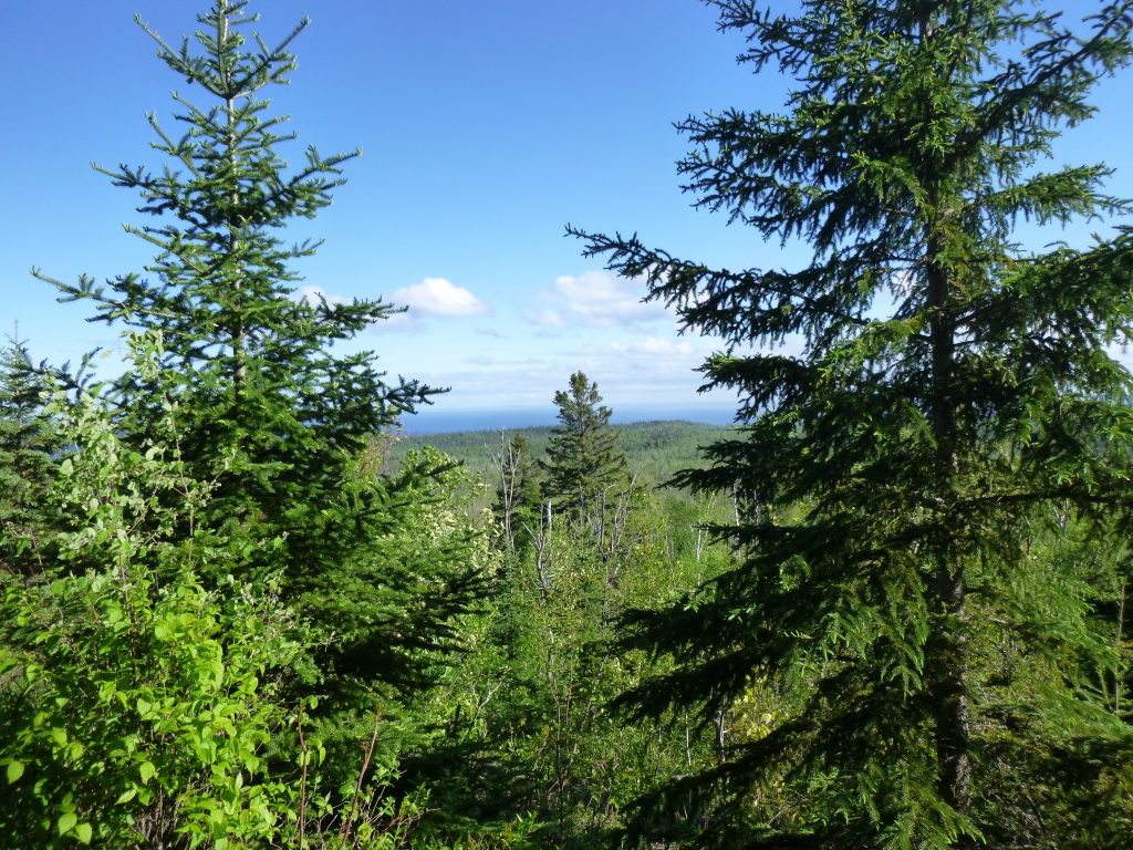
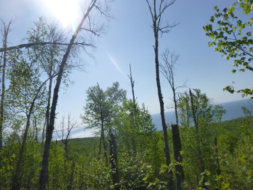
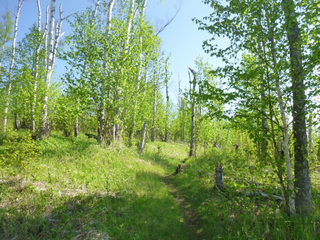
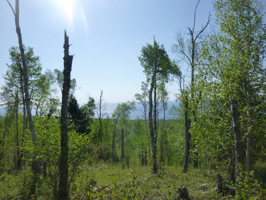
Through the pine forest, we came to a great section traversing the hills high above the big Lake Superior. Everything had cleared out, and it was really nice to have some scenery to break things up. We were walking through some nice and easy meadows, and seemingly out of the mud. The Caribou River came and went pretty quickly, and I saw some signs of other hikers on the trail for once. The map said it’s a huge climb for about 3 miles up, up, up to Horseshoe Ridge and our campsite for the night. Up and up, then mud. It was slow going, and this part of the trail did not seem very well maintained. Trees were encroaching on the trail, and mud.

We climbed up a steep hill to be rewarded by a fantastic view from Horseshoe Ridge. It must be close. I saw a through hiker who was taking a break, passed a crick, and there we were! I noticed we were sharing a campsite with another group, but nobody was in sight. I saw a tent and trekking poles. We took our backpacks off, and Diamond ran right to the tent and jumped! She must have seen its inhabitants and was spooked. Crap, now I have to make sure that she doesn’t terrorize these people. She’s taken my shoes off into the woods and I can forgive her, but that would be terribly embarrassing to have to go find someone’s old muddy boot that Diamond is swinging around in circles. Why she wasn’t tired, I don’t understand.
I took off the boots, set everything up, and walked barefoot back to that crick for water. Bad move, as it was really rocky. I made the freeze dried lasagna and it was delicious. By 8pm or so, we were in the tent with bugs surrounding the entire exterior. I opted for no rain fly, and we slept under the starts. The DIY down quilt I’d made just a few days ago was very warm and seemed perfectly dry. Before long, it was dark, and we were out. A muddy dude and a really muddy dog crammed into a tent.
Day 3 – Monday, May 30, 2016
Garmin Data:
Diamond woke up early in the morning as we both heard rustling from our neighbors. I remembered to bring her food into the tent this time and she ate it in seconds flat. We laid back down to bed, and woke up an untold number of minutes later. A beautiful morning with the sun shining, I flicked a few slugs off my stuff and packed up quickly. Knowing that it was either downhill, or nice scenic hiking, and that we only had 6 miles to go, morale was high. I shrieked “MORNIN’!!” out upon Horseshoe Ridge. It was a blur before we hit Caribou River, and we really enjoyed the final section to the car.
Unlike the last few days, it was hot, even early in the morning. The sun really makes a difference. By the time we got to the car, Diamond was panting and drank a lot water. I switched out my clothes and we set off. It was a nice short hike on the last day, for better or worse, but overall a great weekend. The inclement weather really did not play too much of a part. We slept great, and it was nice to have the cool, bug-free hiking weather, even if that meant fog and drizzle. There really isn’t much to say about mud and wetness, as that is just part of summertime on the trail. When is the next trip?!?
0 Comments