Day 2: Friday, September 2: South Little Brule River to North Cascade River

Garmin Data:
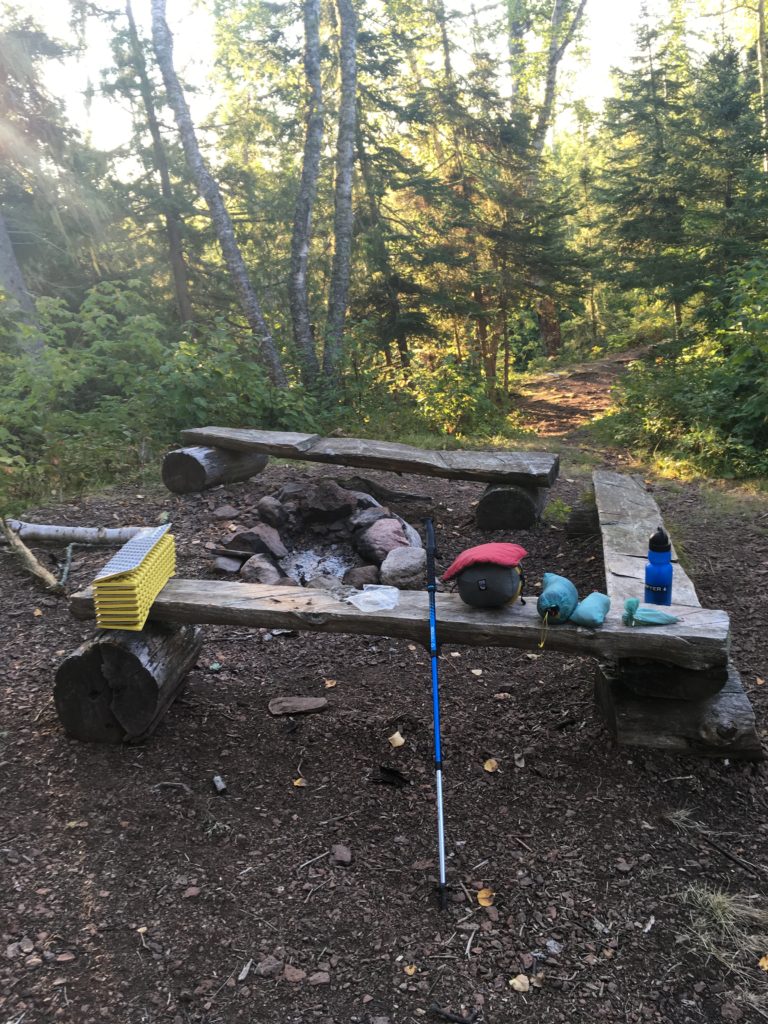
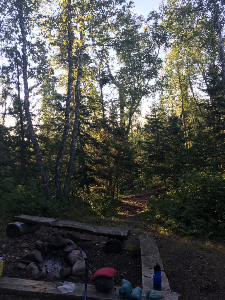
I woke up from the first night on the trail feeling refreshed and ready to rock. My tarp was unfortunately sopping wet with dew, but I tried to shake it all off and stuffed it away wet. I was dawdling around trying to depart, even booted up my phone, 95% battery, and took a few pictures. Regardless, I made it out nice and early, excited to hit the lakewalk in the early AM. The morning was great, and I ate my first four breakfast bars before crossing Highway 61 and getting to the beach.

The lakewalk was gorgeous right away, although hot. The sun was beaming down on me from the first step out of the woods and I started sweating. My head stayed down, always scanning for agates, and I did find a few pebbles, which went into my pocket. I filled up water directly from the Big Lake and drank as much as I could right then and there. The loose footing became burdensome on my stride and I was happy get back onto the dirt trail 1.7 miles later.
On the way up to the Kadunce River, I made sure to keep an eye out for my prized, lost Ironman hat that slipped off of my belt three weeks prior in this exact section. How cool would that be, to find that old hat laying there!?
I didn’t see the hat. The last shred of hope washed away as I saw some fellow campers at the first Kadunce campsite. One woman was packing up, and another commented on me speed hiking! Good eye… but I didn’t stop to divulge the details of my trip. I wrote in the trail register at the Kadunce parking lot spur trail, right before crossing over the tall river gorge. I didn’t have a mantra, so wrote the song lyrics I had stuck in my mind at the moment, from Atmosphere’s ‘It Goes’:
“It’s like this y’all, it’s like that y’all.”
-mikeward.cool
Soon after, I made a stop to get more water, drank as much as I could and grabbed a small snack.
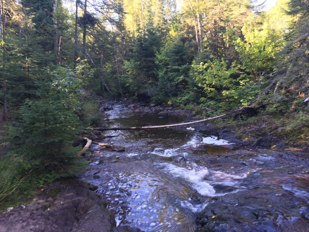
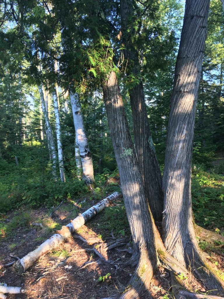
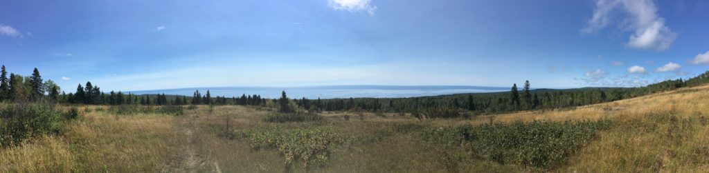
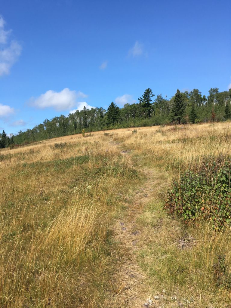
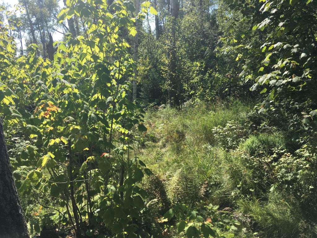
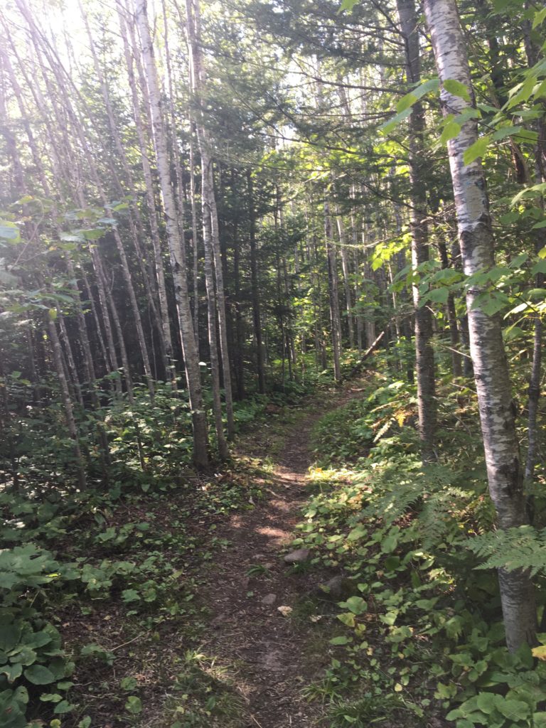
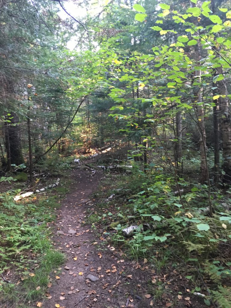
I was feeling really good this morning, and happy that my legs felt good and my shoulders felt good. I was bummed that my back hurt, my lower back where the bottom of the pack rests, and so I hitched it above, high on my back, as I set back off from the Kadunce. Past Kimball Creek, up and down to a creek, up and into the woods, down to a creek, up again and then down to Durfee Creek, up to the campsite and I saw a few runners. They disappeared from my view on the beautiful field past Durfee Creek. This is one of my favorite views on the trail, and it was a perfect morning to hike along the meadow and soak it all in. I felt bad for all my friends at work.
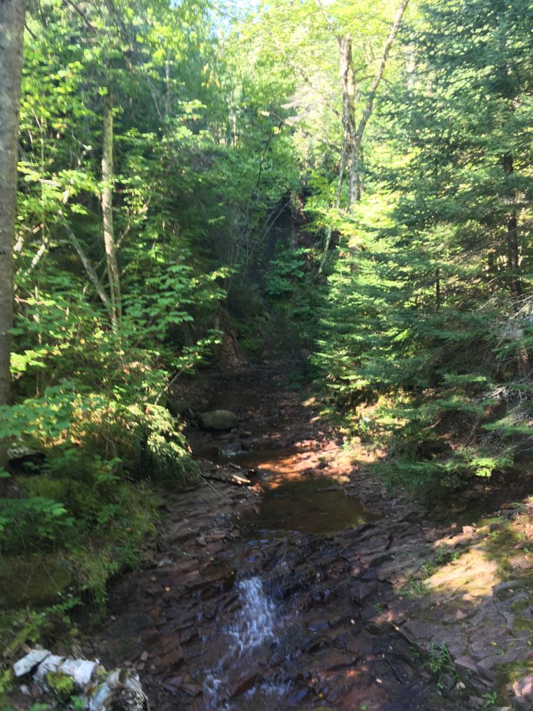
It was a quick jaunt back into the woods to the rightly named Woods Creek. This is the end of the first map, map 6 of 6. I stopped near the trailhead to fill up on water in Woods Creek itself. It’s here that I ate lunch, but it was a hasty 10 minute stop all in all. I made a point going forward to focus on drinking water, especially because I knew that after Grand Marais, it is pretty dry.
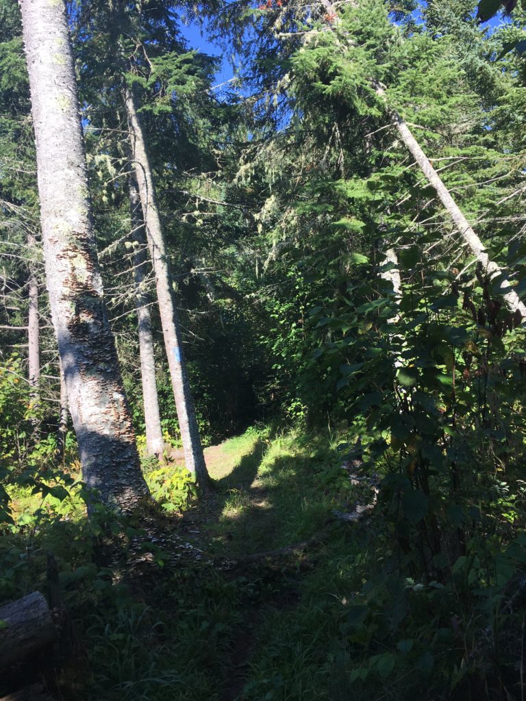
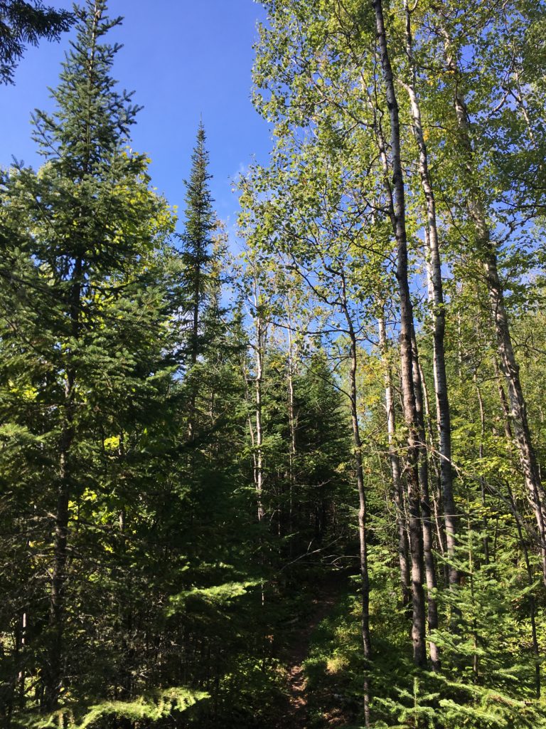
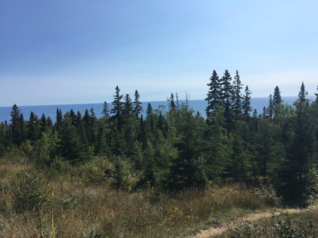
Devil’s Track was more relentless up and down, but it went by quickly and it was entertaining. I was beginning to fatigue once again, and I felt it in my back and shoulders mostly. I had even sat down and readjusted the height of my backpack to put more load on my shoulders, which was good on the back but hard on my tender trapezii. I noticed the heat and stank in the open and exposed ski trails near Pincushion Mountain near Grand Marais. I saw a few day hikers and felt cool in the thru-hiker garb, truckin’ along with my trekking poles. It was nice to have some flat and easy walking to change things up, and I filled up one last time with water under a ski trail bridge, knowing it’d be a while in the hot sun before I have another good water source.

I made it through the ski trail parking lot and figured I’d get cell reception before a big push up past the Gunflint Trail and onto the boggy North Shore State Trail. I turned my phone back on, and checked Facebook, checked the weather, and felt glued to my screen–a dose of modernity as I fumbled across rocks and roots. I realized that if I use 11% of my charge per day, I won’t even have to recharge once! I was at 92% or so, meaning I could get down to 78% this day and be right on track. I was being too stingy with my cell phone use and so kept it on but in Airplane Mode.

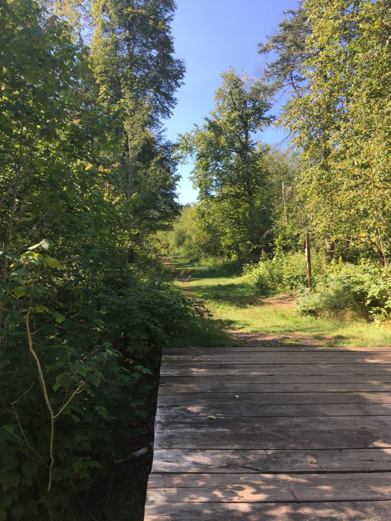
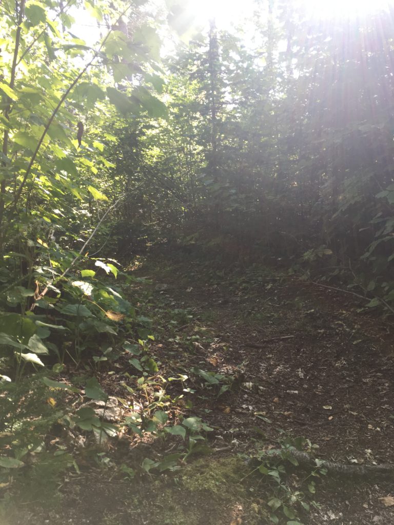
Up the big climb outside of beautiful Grand Marais, up, up, up, across a long boardwalk and I was at the State Trail. I tried to blitz this section, but it was slow going. I had the power to push pretty hard, but didn’t want to overexert myself just try to and make good time on the flats. The bog was crappy, it was hot and sunny, but I was in good spirits anyways.
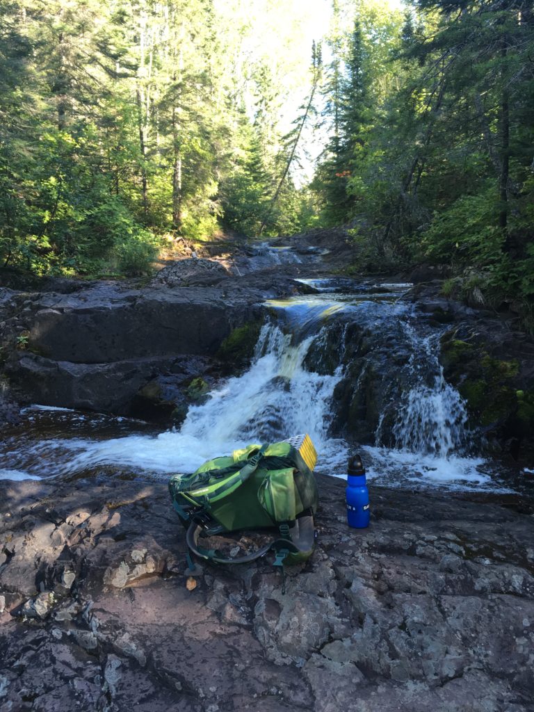
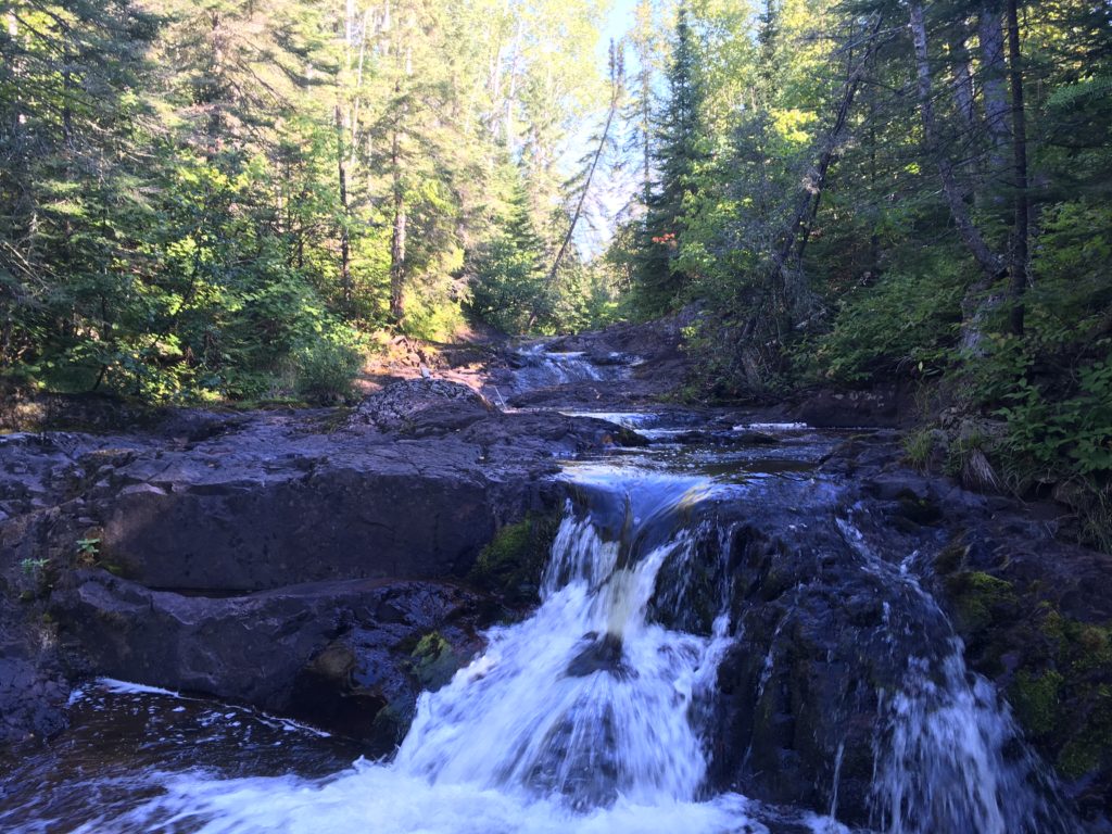
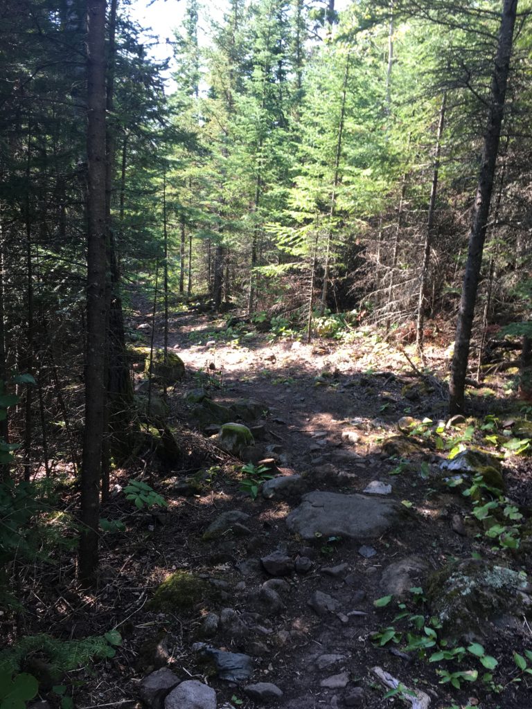
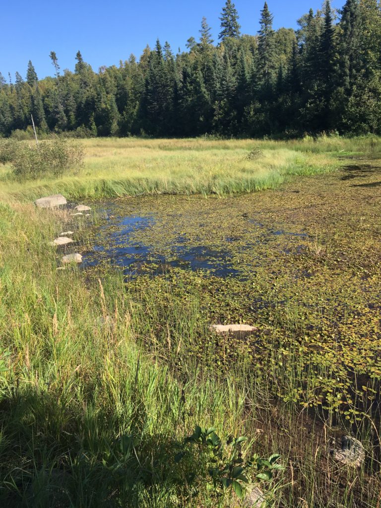
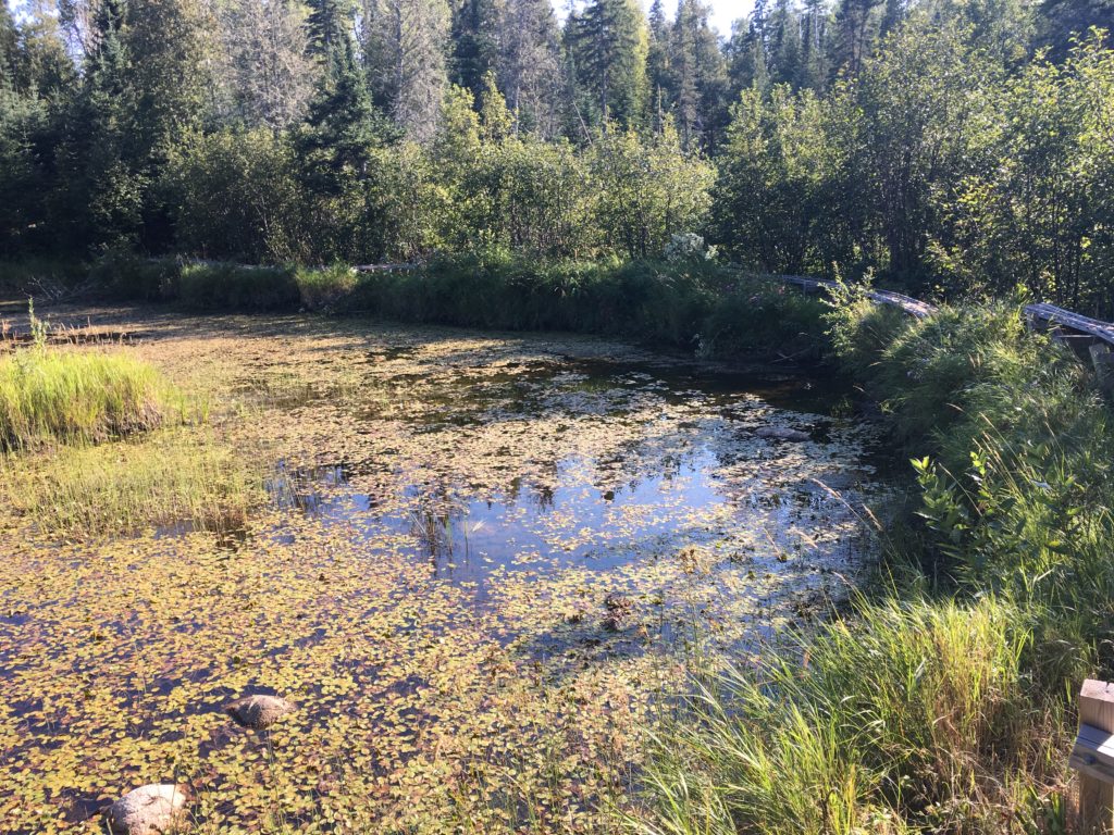
By the time I was back in the woods, I was ready for a break. I figured I could make it to the big Bally Creek pond by break time, and I made a push to do so. Unfortunately, I was just short and stopped for a much-needed break on a log instead. I was beat, but still ready to rack up a few more miles for the day. I filled up quickly at Bally Creek and high-tailed it towards the Cascade River. I remembered this section being slow going and full of downed brush, so I wanted to just get through it.
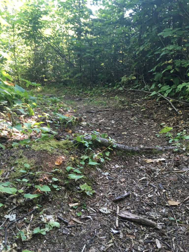
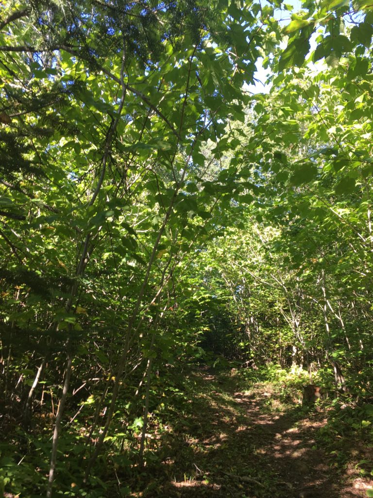
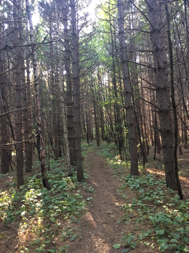
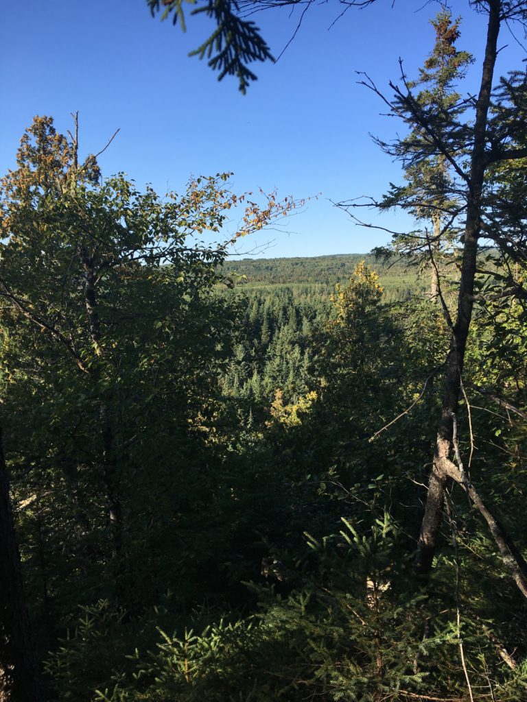
It was a perfect late summer afternoon, and I was very happy that the low brush was gone. It allowed me to hang out in my own mind, zone out, and before I knew it, I was atop a ridge, mere miles from the Cascade River.
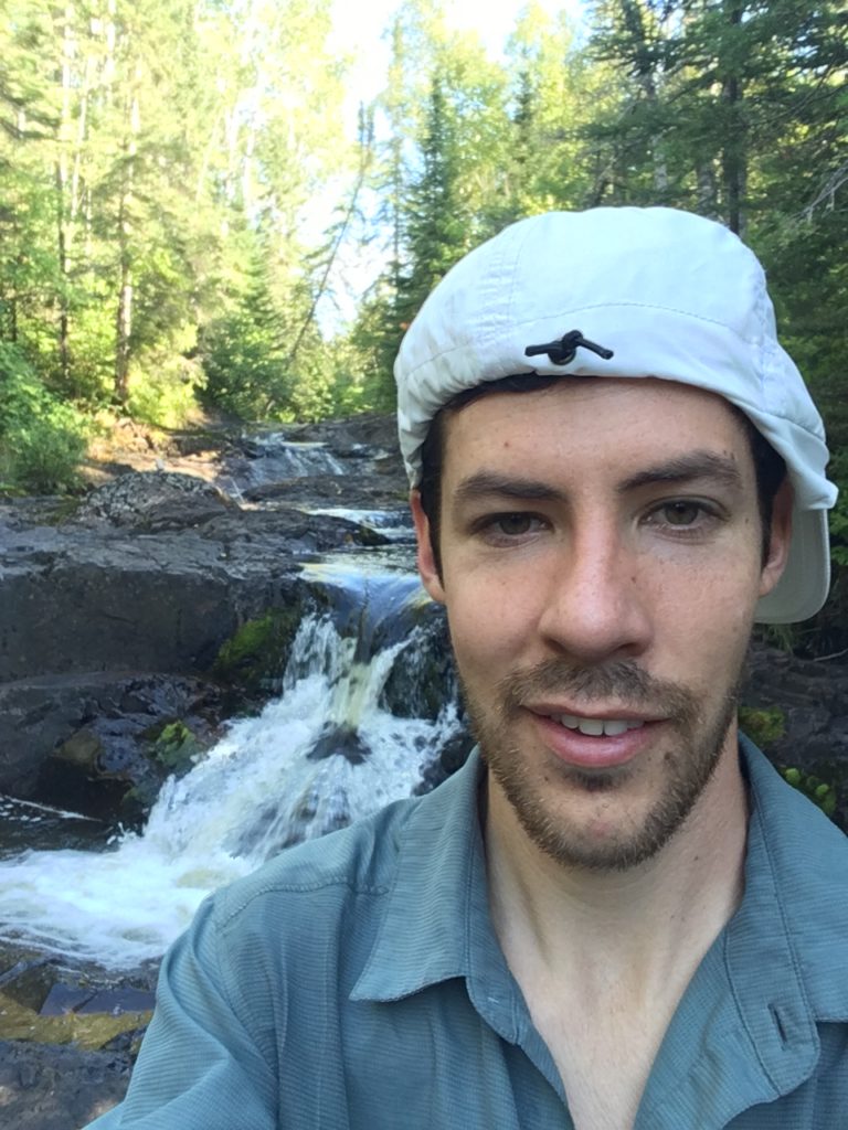
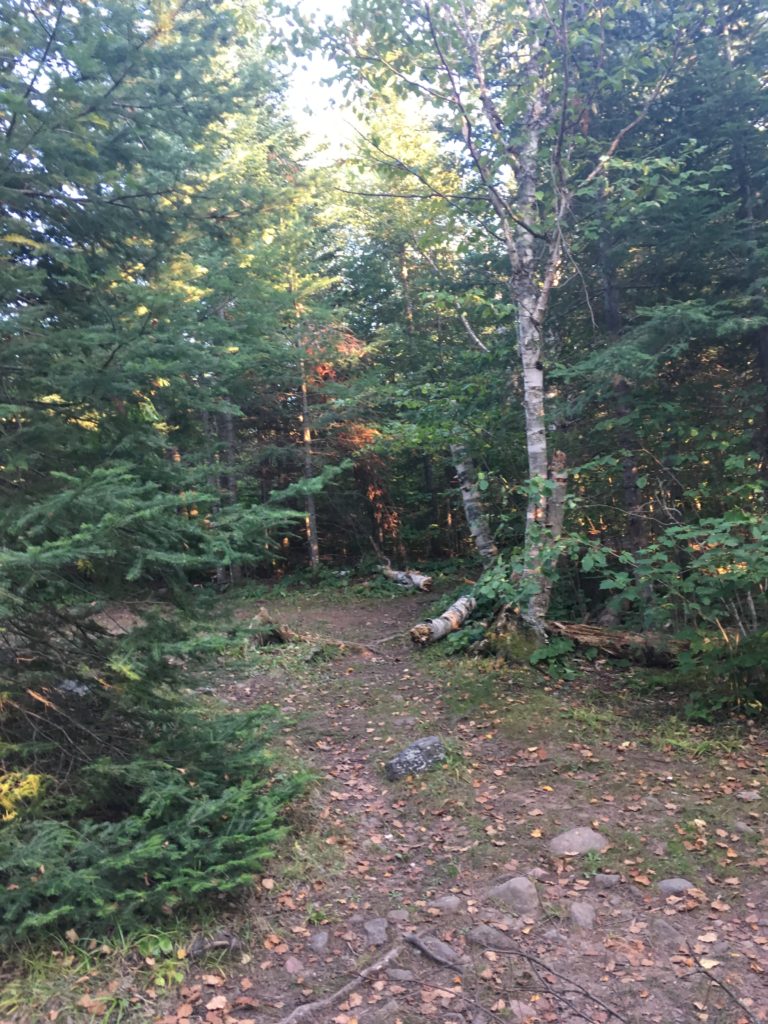
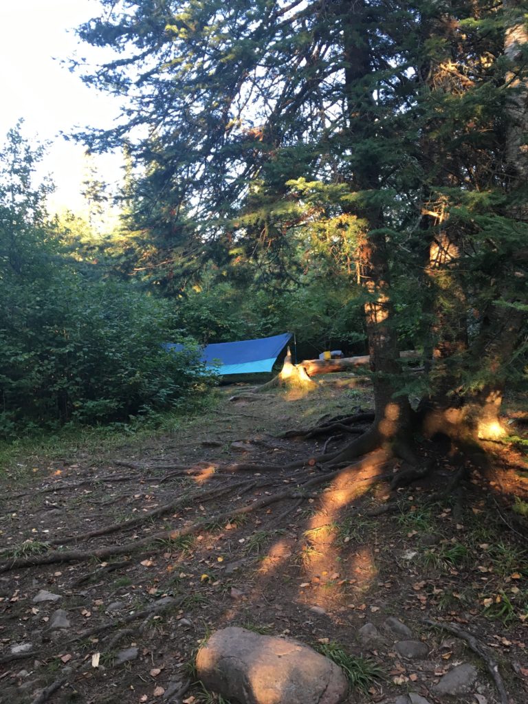
I was sore, tired, and so ready to put my pack down when I walked the spur trail to the empty North Cascade River campsite. It was a big site, full of good wood and a few decent spots to sleep. I immediately took my shoes and socks off and rubbed my feet. What a feeling.
I was sad to see that my tarp hadn’t dried out, stuffed away in my bag all day. In fact, it seemed wetter! Well, the leaves and grass around me were already wet with dew. Either way, I set up the tarp, and then headed down the trail to the river. I realized it was a long, long walk to get to the Cascade, and figured the river was even louder back by the site. I turned around, went back to my site, and headed down a very steep embankment instead. It was worth it, though, for a perfect rocky river bed, ideal for soaking one’s feet.
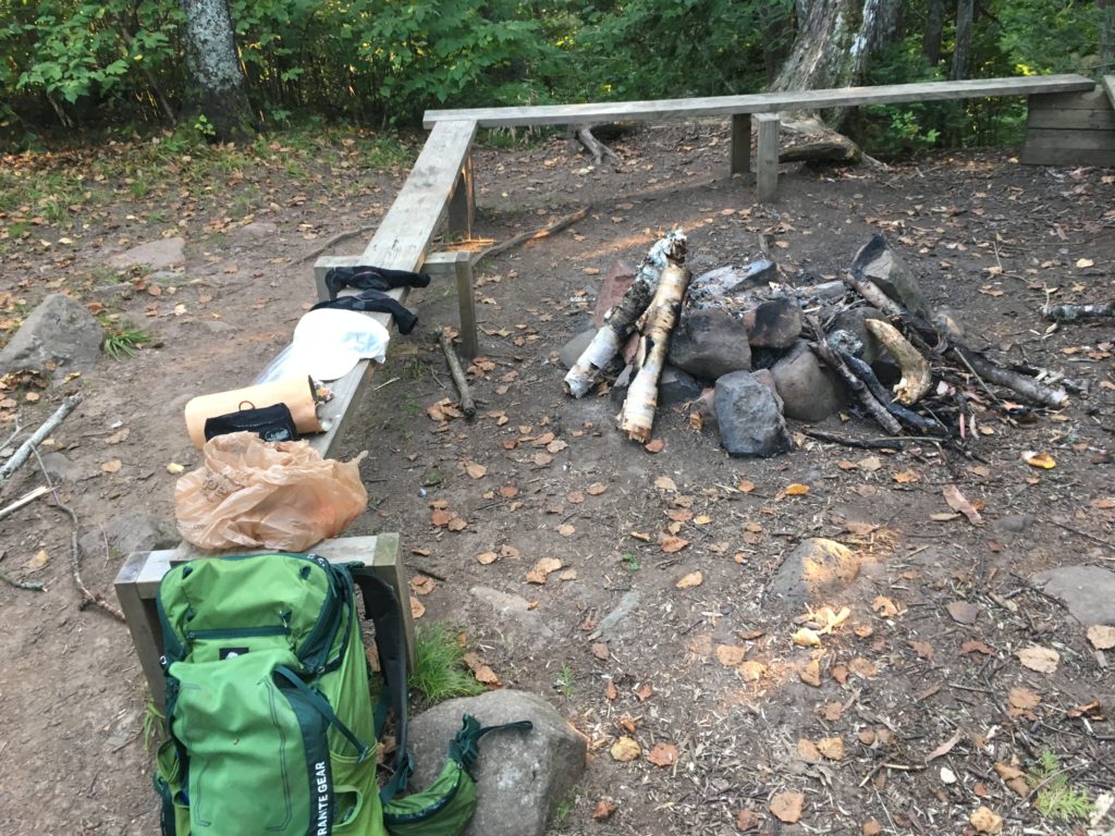
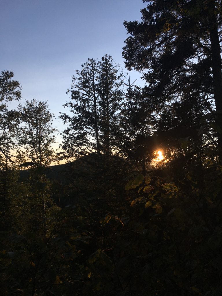
I made a big fire, using the hot flames to boil my water and burn the map that I completed. I figured it was the thru-hiker thing to do. I ate, hung out by the fire, resting my legs, and finally retired to my tarp at dark.
0 Comments