Temperance to Beaver Bay

Hike Date: July 8-10, 2016
Trail: Superior Hiking Trail
Trip Plan: One weekend (after work Friday until Sunday), Temperance River Wayside to County Road 4 in Beaver Bay
Day 1 – Hike south from Temperance to Fredenburg Creek Campsite (6.2 miles)
Day 2 – Hike south from Fredenburg to Section 13 Campsite (~34 miles)
Day 3 – Hike south from Section 13 to Beaver Bay (~23 miles)
Stats:
- Total Miles: 68
- Total Time: 41:42
- Time Hiking: 20:50
- Time at Camp: 20:52
Gear and Food: 7-8-16
Weather:
Trip Synopsis:
Day 1 – Friday, July 8, 2016
Garmin Data:
What a weekend. It’s getting real. It’s one thing to say 65 miles or write it down or type it and plan the route. But to take that first step means that it’s real. And real scary!
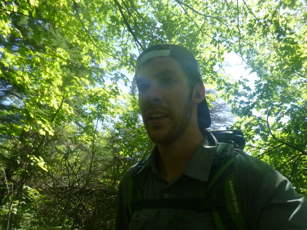
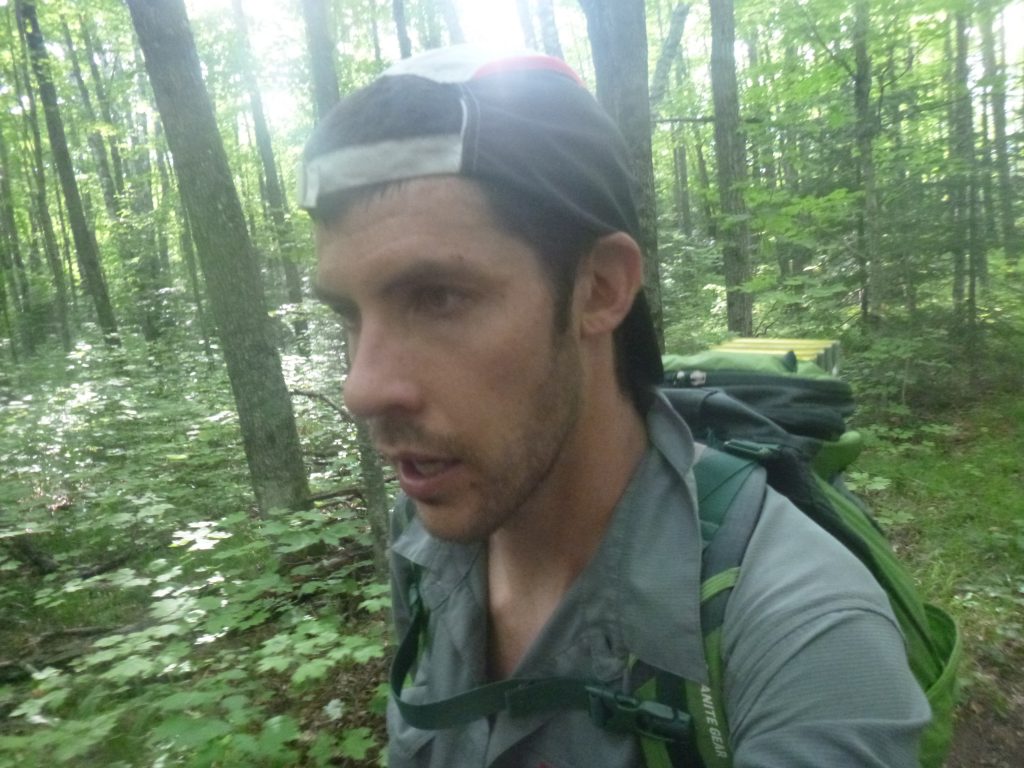
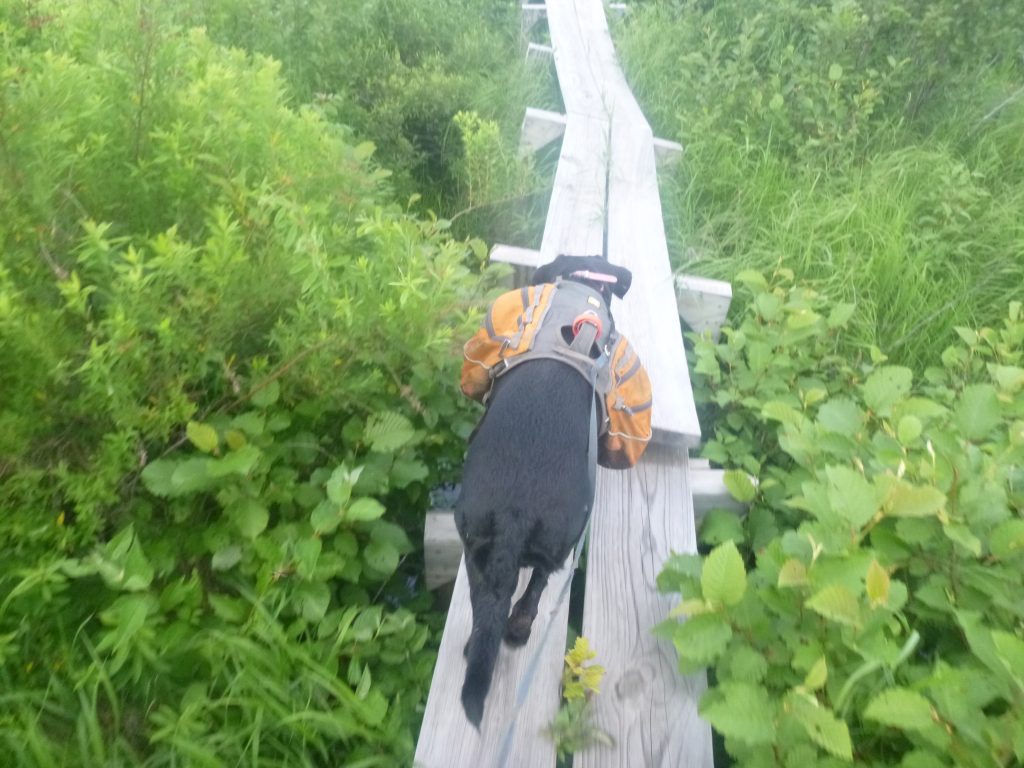
This weekend started in Beaver Bay, where I caravanned from Duluth with my friend Max Elfelt. I dropped up the trusty and rusty Subaru and me and Diamond hopped in Max’s car. Just 30 minutes previous, it was raining in the Two Harbors McDonald’s parking lot. Luckily, the sun was shining and we kissed the car behind! It was a fun ride up to Temperance as I hadn’t seen Max for a long, long time and we were laughing and joking. We both cringed as it began to rain again. Temperamental weather! Max was planning on going up to Tofte on a fat-bike bikepacking trip through the great north woods of Minnesota for the weekend, so it happened to work out perfectly. We hopped out of the car right on the side of Highway 61 at Temperance River State Park, Max gave me a juicy peach for the walk, and we were off! I couldn’t see much for a trailhead, and as not to walk around in circles, we jumped into the woods pointed to Temperance River Road just to the west.
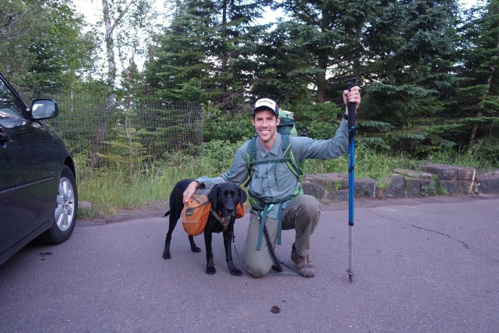
Photo credit: Max Elfelt
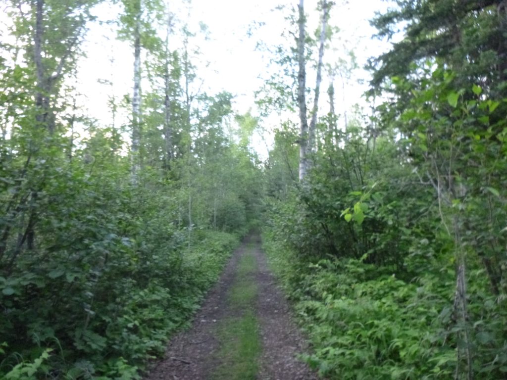
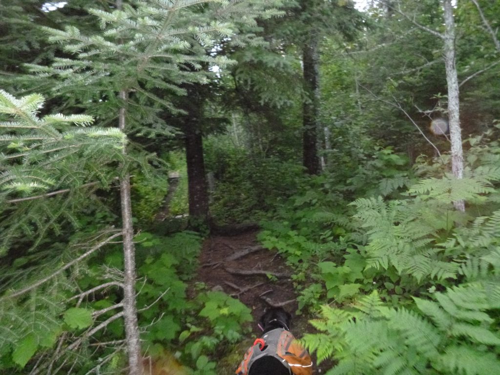
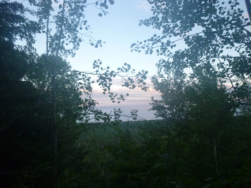
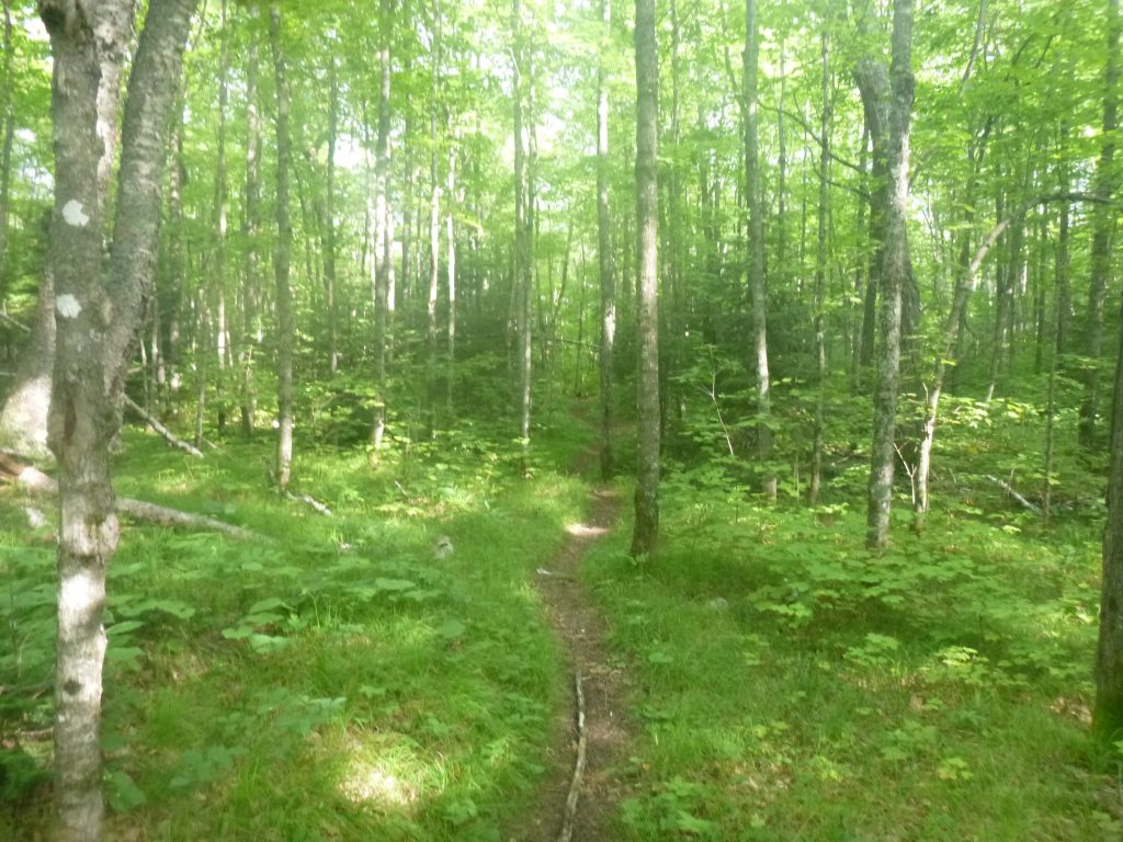
We were off! It looked like a multi-use trail, and I knew exactly where to go from Temperance River Road and figured this mystery trail would spit us right out. It was a perfect night, we hit the trail at the exact moment that the rain broke for good. The clouds cleared just enough to see a cherry sky in the waning sunlight. Beautiful. And a few steps in, I became entangled in Diamond trying to take a whizz. Well, I hope this isn’t a precursor for the whole trip!
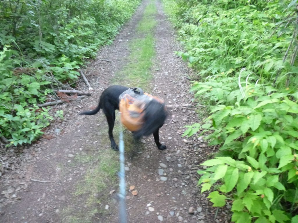
We bumped out to a definite snowmobile trail and I wondered if it were the North Shore State Trail, on which Diamond picked up about 30 ticks two weekends prior and about 100 miles south. Before I could decide, we sure enough spit out onto Temperance River Road. A buggy 5 minutes on this road and we were on the main Superior Hiking Trail. 2.9 miles until the Cross River.
I began to calculate the time to the Fredenburg Creek Campsite, and figured we’d be in the dark. Oh, well, better tonight in the dark than an extra hour on Sunday. It just made the most sense for spacing out Saturday’s campsite and the weekend hikes. I also pondered how this was the 5th time in 2016 I’d hiked this stretch of trail. It’d be quick through the Cross River compared to two separate out-and-back trips already this year, one over Memorial Day and one in the winter. Good thing I liked this section! And 5 times on this bit of trail between Cook County Road 1 and Temperance River seems like nothing compared to the 100+ loops I’ve done on the Superior Hiking Trail in Hartley Park, my home turf!
We crossed the first campsite on the Cross River and it looked booked up with four tents. We clicked off the other three sites and it seemed like there were more people out camping this weekend than I’d seen this year so far. I pulled out my headlamp, but it wasn’t dark enough to make any difference and my eyes gradually adjusted to the twilight. Luckily, Diamond seems magnetized to the trail, so I just needed to keep my legs churning and she’d pull us in the right direction. We went into a deep pocket of woods and it suddenly became very dark. I used the headlamp the rest of the way to Fredenburg.
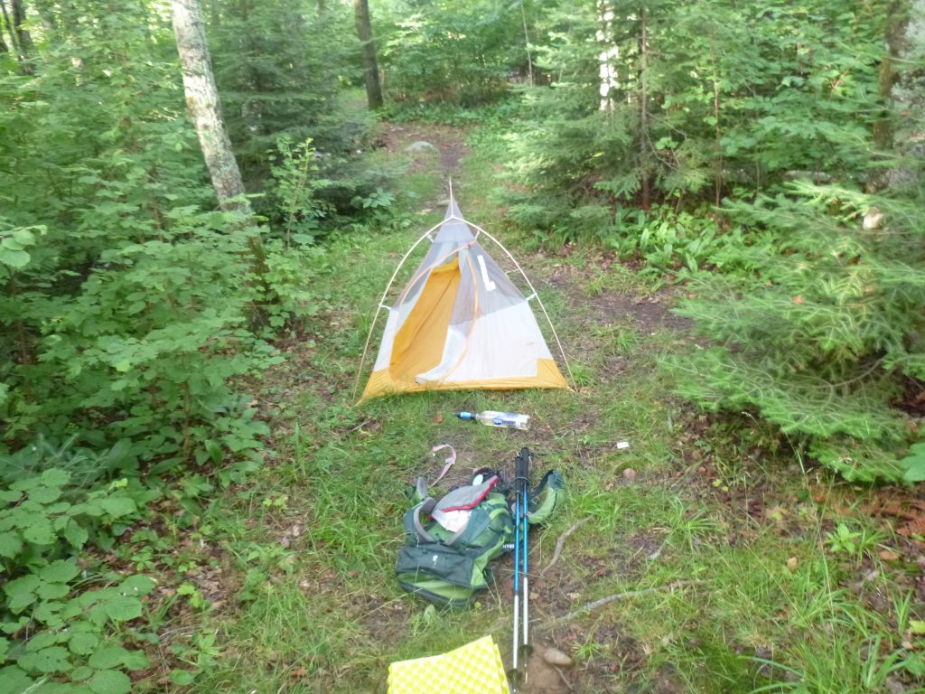
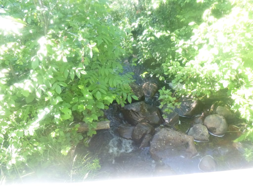
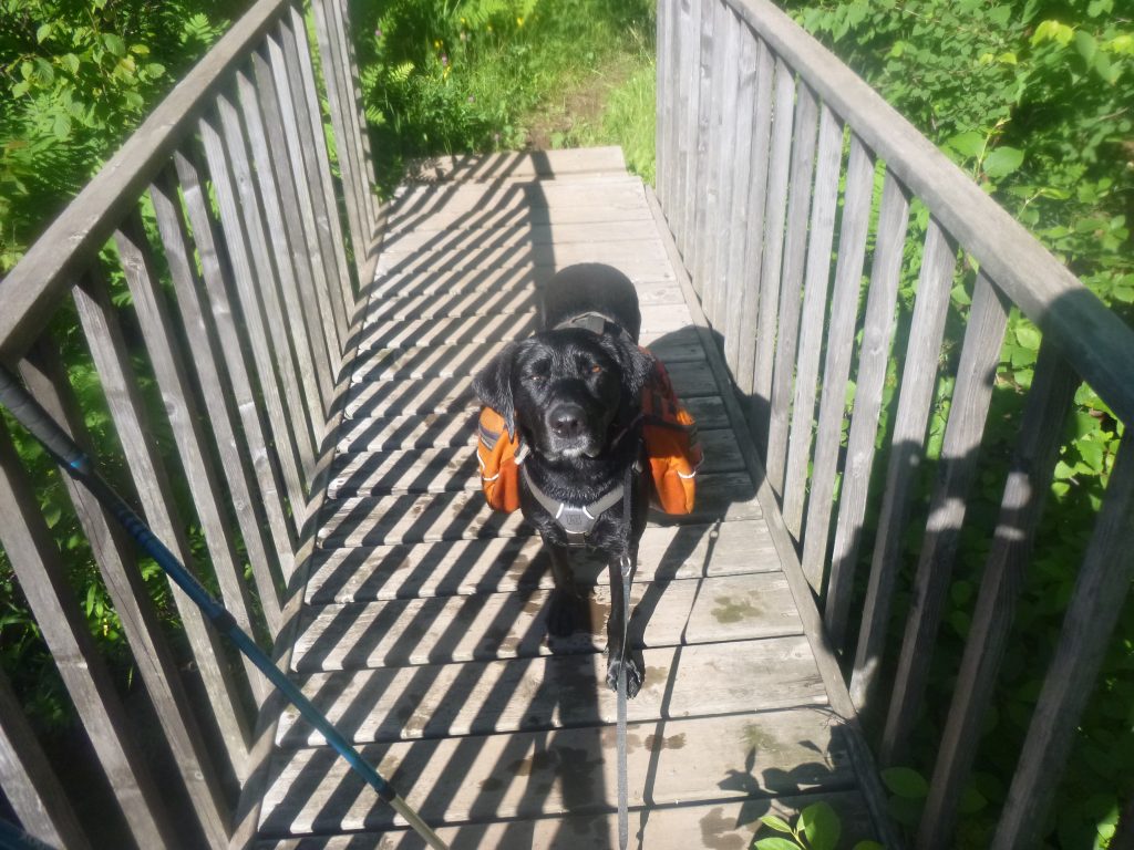
By 10pm, we’d reached the empty campsite. I quickly set up the tent right on the mosquito infested spur trail, which looked like the most comfortable swath of ground, chugged the rest of my water and refilled it in the creek. I simply strapped Diamond’s pack with my food stuffed inside on top of the Fredenberg Creek bridge’s handrail. Not the most reassuring bear hang-up, but it was quick! To avoid getting eaten alive my mosquitoes, I coaxed Diamond in from bounding through the pitch-dark forest, and we clamored into the little tent.
I was curious to test a new sleeping pad, and I quickly realized it was really warm. In the humid conditions, I developed a glistening layer of sweat, and I kicked my quilt to the foot of the tent in a hurry. I nixed the rainfly, having faith in the weather forecast, and before long drifted off under the stars.
Day 2 – Saturday, July 9, 2016
Garmin Data:
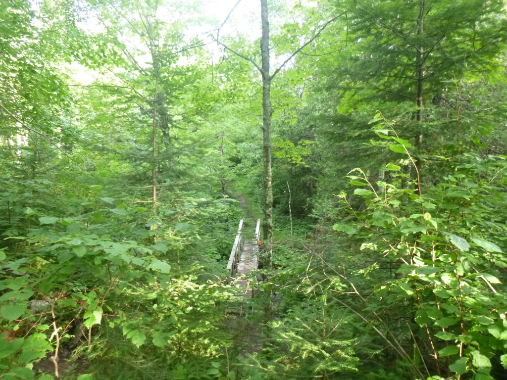
I woke up to a restless Diamond at 5:30am. It was too early, and the only thing to shut her up is to give her what she wants! Food. So I cracked open her morning ration, measured into a plastic baggie, and she scarfed it down as if her backpack was ravaged by a bear in the night and that was her only food! I forced her back down and we both slept a bit more until around 7am when we decided to hit it. I flicked a few slugs off of the tent and we packed up in no time. Luckily, the morning dew wasn’t too bad, and we felt as good as new! It was another gorgeous day with the sun shining bright in the early morning hours. We crossed the Fredeberg Creek Bridge, grabbed the food that was luckily NOT ravaged in the middle of the night, and hit the trail hard for a very long day of hiking.
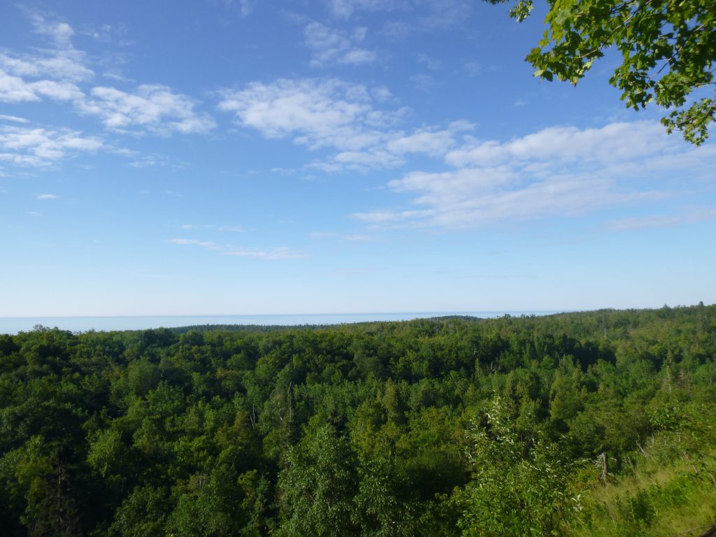
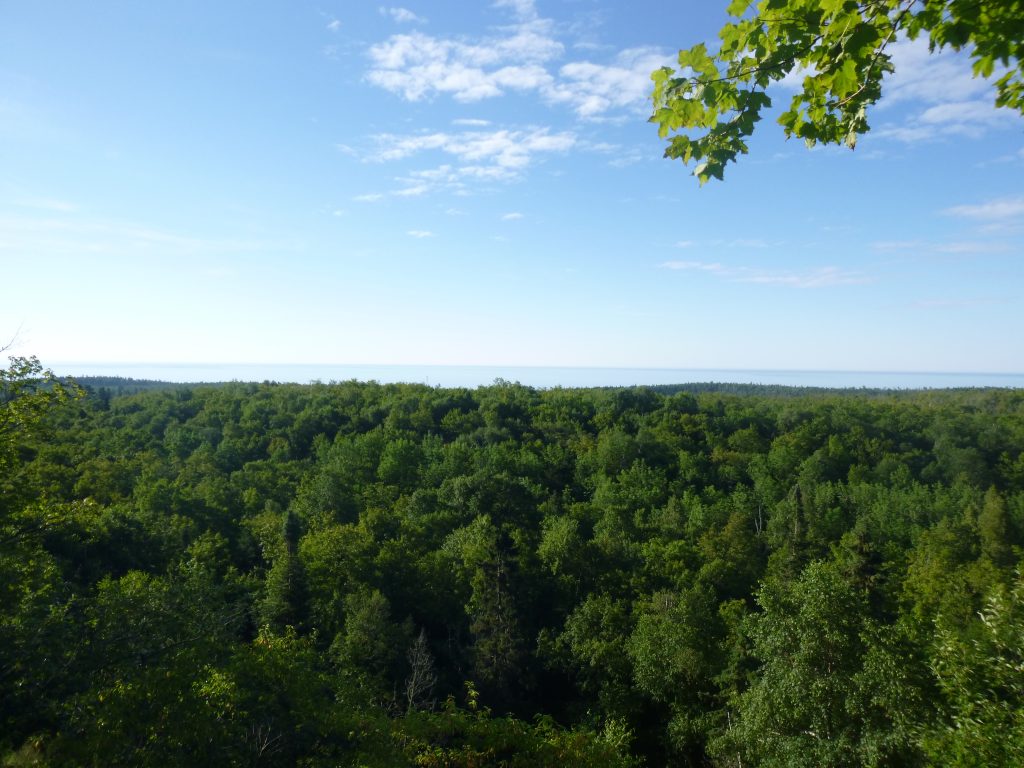
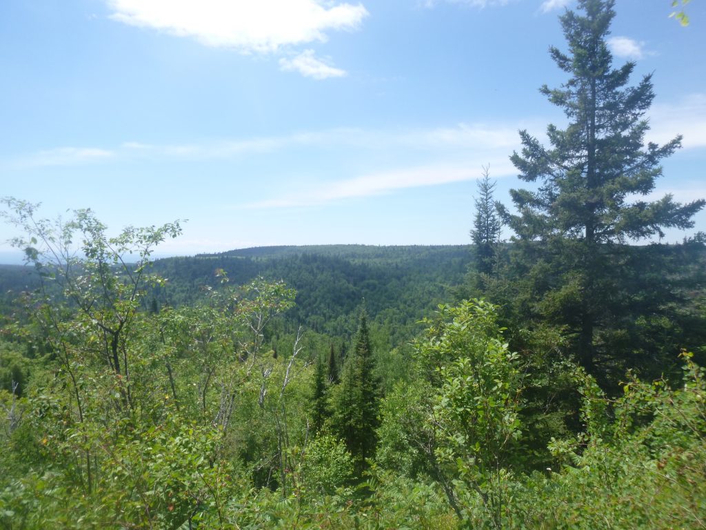
We zipped through the beautiful forest near Tower Overlook, which gave Diamond and I the first sweeping Lake Superior overlook of many for the day, and were at Cook County Road 1 in no time.
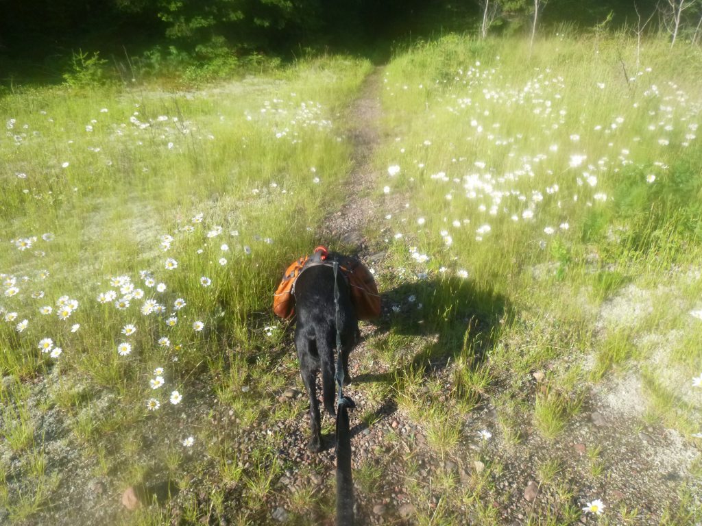
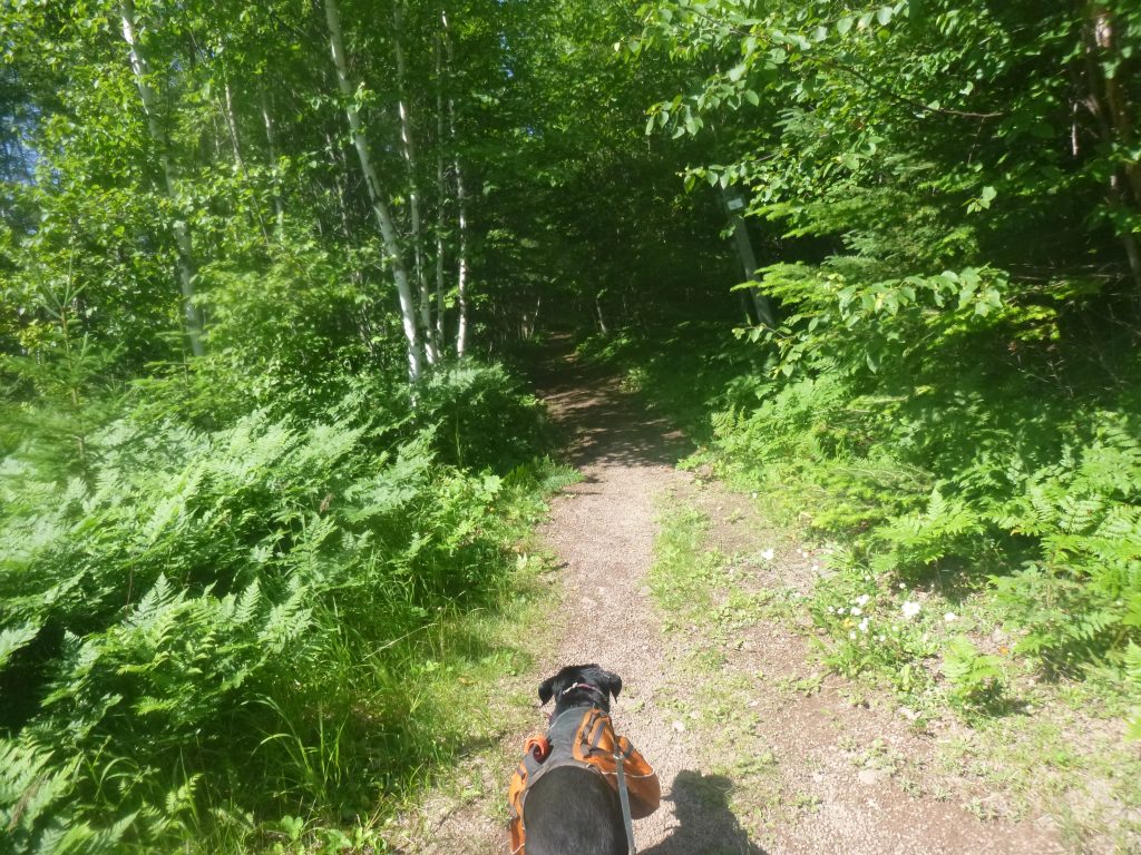
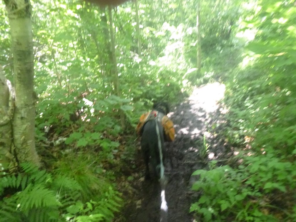
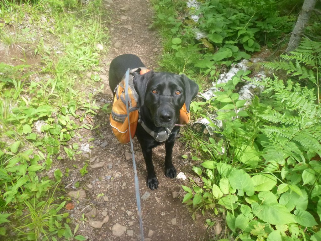
We saw a big group of young kids in the Cook Road 1 parking lot and they pet Dimey and commented on her nice pack. I ain’t gonna carry her food! We kept on truckin’ past Dyer’s Creek and the really muddy section to Sugar Loaf that we’d hiked over Memorial Day. Luckily, it was substantially drier and we were able to dodge the mud nearly altogether! The sun was definitely out, high in the sky, and we were feeling the heat of that day even in mid-morning. There were plenty of water sources along the way, Dime was slurping it up at every crick. I rolled my sleeves up, happy that the bugs weren’t terrible, but could feel my back slick with sweat and completely saturating my shirt.
We crossed Sugarloaf Creek, next stop Caribou River.
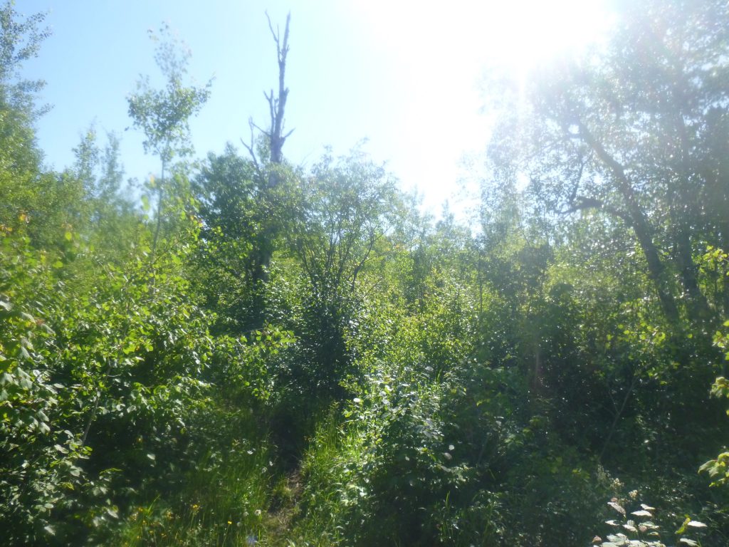
I fondly remembered from a month ago this section being stunning. We buzzed across a very scenic ridgeline studded with bare birch trees. The overgrowth of mid-summer was apparent as we were bushwhacking previously cleared areas. The dew felt nice, though, and Diamond was happy about the shade low to the ground. We stopped for a drink and I sat down for food once we got to Caribou River. I noticed a water filter laying there and nobody to be found. Then, a lady yelled from a few rocks over. We munched a bit, didn’t leave too much time at Caribou, and were off. Diamond lunged at this lady’s dog and so I had to poke her in the butt to move on!
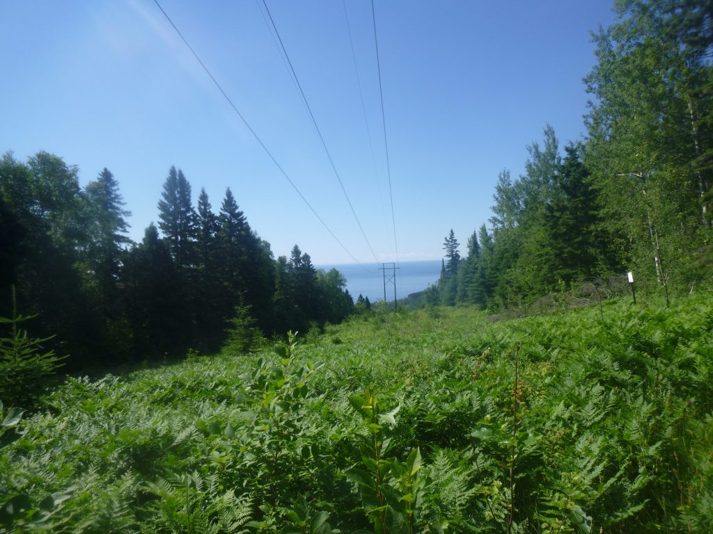
Next stop, a big climb up to Horseshoe Ridge in the hot heat, but we’d be afforded spectacular views if my memory served me right. At about 4 hours and 13 miles in for the day, we made it to the top and could see the encircling mounds lead towards the Big Lake. Spectacular! However, it was at the expense of a lot of energy. It sure was hot, and the water was being filtered frustratingly slow. I can only suck so hard! Diamond was not impressed by the views and so we kept on. I wondered if she remembered the nearby campsite from late May, but we didn’t spend any time investigating the site. Once we passed it, though, it was exciting because we were entering a large section of the trail that I had not been on. Once today is done, I’d have done the whole trail from Jay Cooke to Lutsen. That leaves me around 90 miles of unexplored Superior Hiking Trail from Lutsen north, and 6 miles to the new Southern Terminus south of Jay Cooke.
I figured that we walk a ways, then get to the Manitou River, then through Crosby Manitou State Park, then some inland lakes, a bit more walking and we’re at Section 13 campsite. That was a good way to break it up, but it’s still 22 miles away. In a frustrated state, I decided we’d have to stop at the Manitou River for lunch. It was… 4 miles? No 4 hours. No, no, maybe like one hour or two hours away. I ate a Shotblok or two and a lemon Larabar, then sucked on my dumb water filter. I’d peed just once and it was about the same color as the creeks from which I was getting the water. I was hoping for clear… for my pee and the creek water.
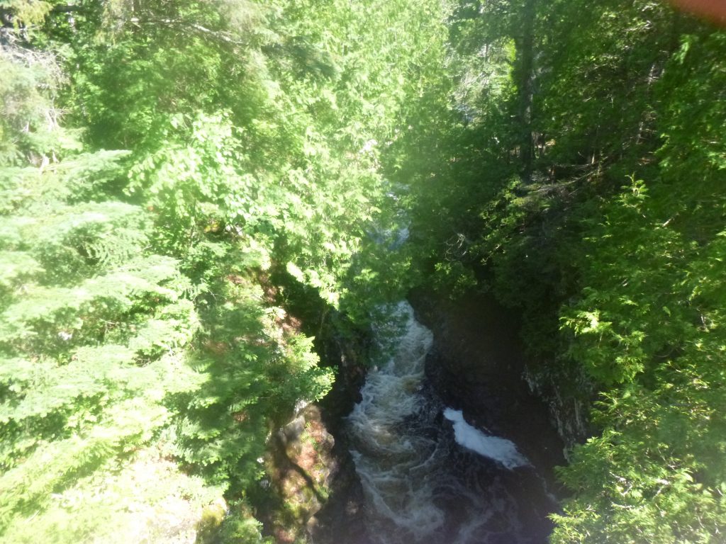
The hiking was getting pretty hard at this point. Up to Horseshoe was a grinding climb, but on the way to Crosby Manitou State Park was an unrelenting up and down and up and down. So many rocks. My body seemed to holding up just fine, but I could tell I was bashing myself going down the steep descents. Diamond, meanwhile, has the agility of a mountain goat and was ashamed at my cautious pace. The tiredness was a general fatigue, like standing in line for a long time or being at the airport or a lengthy trip to the fair. No real reason why you should be exhausted, but you just want to sit down for a second. I said that we’d sit and stop at the Manitou River, and it was great to hear the rushing sound of a big river. We went on a long, steep descent to the river, and it was great to take off the pack and relax.
I drank as much water as I could, no matter how slow it was to drink one liter. I ate most of one bag of meat ‘n cheese, a bunch of trail mix, and shoved some snackables into my pockets. Diamond wanted to just run around and explore, but I wrangled her in, got her back suited up, and we entered through the state park. Next stop were the lakes. We encountered a lot of groups now that we were in the State Park, but we were zinging along just fine, reenergized by the food. In fact, I got turned around by not reading the signs. It was maybe a 20-minute mistake, but frustrating nonetheless. We exited from the woods to the hot, exposed parking lot of Crosby Manitou State Park, and walked on the road towards Sonju Lake Road. This was a nice piece of trail, and I was happy that the sun had faded behind the clouds. It looked cloudy on the horizon and I envisioned complete cloud cover. Maybe some cool breeze, too. We passed Sonju Lake Road and figured we were right around the corner to the lake itself. Maybe we’d jump in, I thought. Hmm. Or we can jump in at Egge Lake. I wondered which one is more accessible. I thought about if either of them had a beach. Hmm. An hour passed and we were drudging on. I was so confused why there was no lake. WHY? I consulted the map and realized that there’s a large section of trail between Sonju Lake Road and the lake itself as the trail nearly parallels the road. CRIPES.
We finally passed a Sonju campsite. Things were tough going here. We had over 10 miles left to go and it was hard. All I was thinking about was how dreadful Sunday would be. Bean and Bear Lake and Tettegouche and Silver Bay are so hard. I’m so tired right now and we still have to climb up Section 13 to go to sleep. Why? I made up my mind that I wasn’t going to do the through-hike anymore. Well, maybe I’d still do it, but there is no joy in it. Camping is fun and backpacking is fun but to walk continuously on and on and on for hour after hour and counting every single mile just wishing you were done… it’s terrible! It’s not fun, it’s really rigorous. I thought about how I could even cop out of this trip! I knew that I could call for a ride. Maybe if we just hike to Finland, I thought. Maybe we can do one big day, like 40 miles, and then get picked up at Tettegouche? I thought to myself how that is still a really big day and a really big weekend.
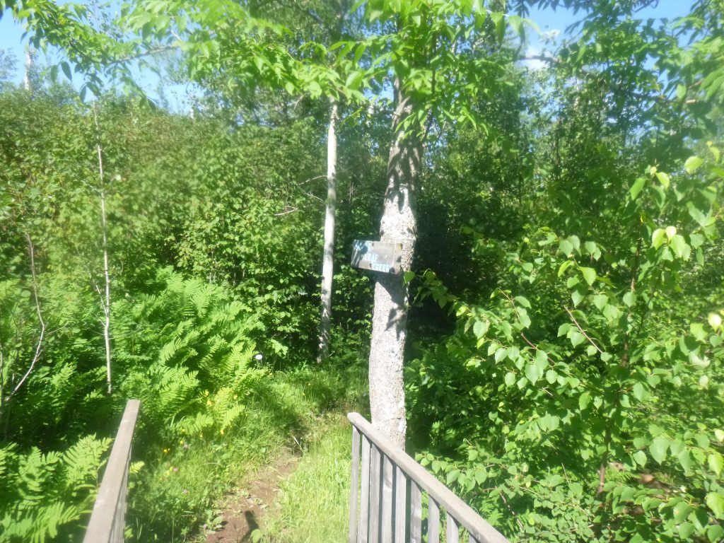
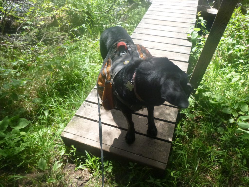
We got to an trail sign, Lily Island, and followed it out to Sonju Lake. It was beautiful. The wind had picked up a little, and even though the sun was back out, to take off the pack, take off the shirt and sit down for a minute was truly wonderful. I took a few more handfuls of trail mix and filled up my water bottle. I sucked water through the filter as much as I could, taking advantage of the lull in the action to focus on hydrating. I closed my eyes and just heard mosquitoes and Diamond rootin’ around in the bushes. She jumped in the water and it was a welcome shake-off nearby. Without getting too comfortable, I slowly stood up, put the freaking pack back on my back, and we headed off. Diamond didn’t seem to be too bummed about getting back walking, anyways!
We passed the second Sonju campsite, next stop Egge Lake. Walkin’, walkin’, walkin’. I’d sometimes consider my posture, and realize my head is completely pointed down staring at the trail. Then, I’d trip as I tried to walk upright, chin out, spine aligned. I tried some different grips on the trekking poles, definitely glad to have them along. Despite hating them, those poles saved a lot of wear and tear on the ol’ legs, I say.
It was slow to Egge. Our pace was nearly unchanged, we weren’t stopping much, but the perception of time was much different than this morning blitzing trailhead to trailhead. One, two, one, two, one, two, the endless march. Egge came and went and we didn’t stop. Where are we, I wondered? Next stop, Finland. Gettin’ close. I figured we’d hit camp at around 6. Wait, how far out are we? I pulled out the map, unable to decipher the distance midway through the monster 11+ mile section.
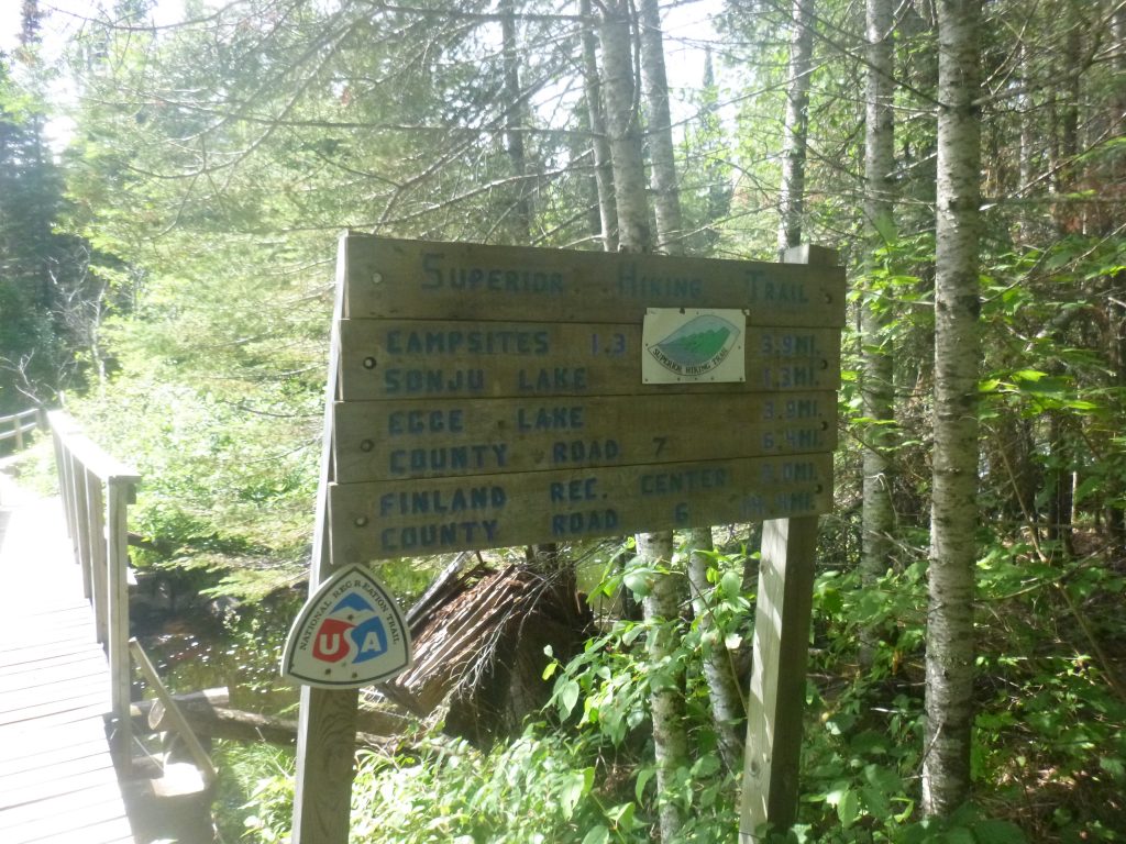
We hit County Road 7 and walked on the road a bit. Surprisingly, Diamond slowed down. Or maybe I sped up compared to my klutzy trail speed with only two legs. We popped back into the woods, and we conveniently stopped at the Finland Rec Center trail sign and nearby creek. I filled up water and sat on the bridge as Diamond drank. It was the home stretch. Unfortunately, this section was hard if I remember correctly as Section 13 is atop a huge cliff, and it was near the end of the 7.6 mile section. Even 6 miles away puts us at two more hours of hiking. It was getting towards 5pm, and 2 more hours sounded impossible. Well, not that impossible, but strenuous. As not to lament, we just kept walking. I started chomping on a Clif Bar that I’d rationed for the day. I should’ve eaten it earlier, but figured that it still wouldn’t ruin my dinner appetite to have an evening snack.
We started trucking down towards Section 13, our final destination for the long day, and I was feeling great! The trail was nice and wide, devoid of large rocky scrambles and technical root formations, and it was good to be out! What a change in the mood!! I realized that the Clif Bar likely had caffeine in it. No way just caffeine can have that sort of effect… but I guess that’s what drugs do. The effects seem to wane as Section 13 came into view. I knew it was close, and we passed the buggy Sawtooth Bog to the base of some large hills. Up is the only way.
I kept telling Dime that we were right there. I heard voices in the woods and knew we were close. Also, I vaguely remember the book saying something about the water source at Section 13. No way there is no water source, but I made a note to keep my eyes peeled. Then again, it’s allegedly at the top of a cliff… how would there be a stream at the top of a cliff, I thought? We climbed and climbed and climbed. I was using the poles heavily, as if I wouldn’t be able to ascend this rooty climb without them. Then we went down. Then we went up more, up and up and up. We passed two little cricks that looked promising, and both times, I was alert to the upcoming campsite, thinking it would be situated nearby a crick. Up and up, climbing further and further up, and we made it to the top of Section 13. No site. Around a rock, with open outcroppings just waiting for photographers to capture the beauty, but we had no energy to gawk at the landscape. Finally, we hit the spur trail and was relieved to finally ditch the pack for the day. There were two people at camp, and I asked about water. They didn’t know. So, first things first, I set up the tent and went way back down the the water source. What a terrible walk. It was only a 15 minute round trip, but not one I wanted to repeat after nearly 35 miles. I unpacked the rest of the gear and was appalled to find that my recently purchased fuel bottle unscrewed itself and there was alcohol over everything. Terrible. My two new friends were kind enough to lend me their little stove and I cooked the most delicious and hearty meal possible in that little kettle. Cheesy queso rice and vegetarian taco filling mix and cheese curds and Fritos were very delicous. I tried to eat it in the tent, but the rainfly was on and it was sweltering. I heard more people come into the campsite, and ate around a fire, bugs at bay, and chatted with the other groups at Section 13. It was cool to meet Jared VanderHook, current self-supported SHT fasted known time dude at the campsite, who was just out with his son for the night. What a random meeting! But great to chat about nerdy things like pack weight and miles per day. We seemed to agree that 35 miles per day is probably the top end when carrying camping gear and food. And 300+ miles is a lot different than 200 when it comes to planning and packing food for an unsupported go. And on that note, Dime and I crashed.
Day 3 – Sunday, July 10, 2016
Garmin Data:
When Diamond woke up early for her food, I fed her and did not go back to sleep. We hit the trail early, packed up quickly and were off just after 6am. The legs and feet were feeling pretty decent, but there were some definite tender spots, notably on my left hip and left shoulder. I broke my left clavicle years ago and still have a protruding bone that can get a little finicky. It sometimes feels like the nerve gets rubbed, which is just a little weird. Meanwhile, the hip belt was in no way comfortable, but I was able to cinch everything down and forget about it. Diamond and I got turned around almost immediately in the cliffs of Section 13, maybe still asleep, but righted ourselves and made the descent, after briefly regaling in the spectacular, overcast morning.
0 Comments