Day 9: Friday, September 9: Bagley Campground to Wisconsin Border

Garmin Data:
When my alarm went off at 3am, I hit the snooze button. Onto my very last day, but yet I still wanted to eek out that last little bit of sleep. I may have slipped back into REM sleep. Upon the next alarm, though, I started getting my things together. Pants on, shirt on, I carried my phone and headlamp to my pack, then went back for my quilt, then the sleeping pad. I shoved my breakfast into my pockets, wondering when I should eat it, put my socks on and then my finally-dry shoes. I took down my tarp, throwing the sticks I’d used for stakes back into the woods and shoved it deep into my pack, wishing I hadn’t lost two little sacks in the flood from the night before. 24 hours ago, I was just finally going to sleep… Now, I start hiking. I took a dump in the port-o-pottie, it was a clean break. Too much information, perhaps, but I only needed to use my last few squares of toilet paper that I packed. And then I started my watch, not to stop it again until I reached Wisconsin.
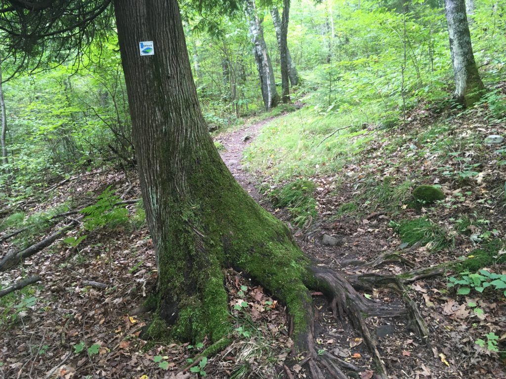
I made certain to hike back to the exact point where I veered off from the Superior Hiking Trail. I was a little creeped out hiking in Bagley in the pitch black, my dim headlamp lighting the way. I run in Bagley so often, I could have had no headlamp. On top of the lookout, I yelled “MORNIN” for all to hear.
It felt so weird walking in the dark! The SHT darts right through the UMD campus, and I saw one guy walking down the street with a guitar around his back. I hope not a robber, because he did not look like a student! Down 19th and into the Chester Creek. The water flowing guided my way. It was a complete new perspective on my favorite running trails. I tried to get a picture across the bridge.
Past Burrito Union, down 14th Avenue, and I was actually hoping I wouldn’t get mugged! I’d rather be back in the wilderness hiking at night! Not that Duluth is a crime haven, but these are not the best neighborhoods in town and it was barely 4am. I got to the Lakewalk, into Leif Erickson Park, and saw a homeless person who I’d seen before on the rough and tough streets of Duluth, smoking a cigarette on a bench. He said that winter is coming soon. I yelled back in agreement, keeping my pace. He said it’s not March. I did not respond.
I decided I’d eat my last four breakfast bars at Enger. The Lakewalk should be the easiest part of the whole day on fresh feet, but I was just fatigued. It was the feeling of wanting nothing more than to sit down for one second. I sat down on a bench looking out from the very corner of Lake Superior. No, I thought, this is where the seconds count. Every other day was just a setup for this day. Scott Jurek broke the Appalachian Trail speed record and set the fastest known time (FKT) by just three hours. I got up and walked along the very end of The Big AC, Lake Superior.
I was stymied at the Baywalk, on the other end of Canal Park. The Baywalk garage doors were closed, so I backtracked, walked around Adventure Zone, Famous Daves, Old Chicago and Red Lobster. I made the trek alongside the gigantic William A. Irving lake vessel, and back on track along the Bay of Lake Superior and the Duluth Entertainment Convention Center to my right. Through Bayfront Festival Park, across train tracks, and just like that, I was out of downtown Duluth and Canal Park. It was all trail from here. Time to crank.
Up, up and up, I climbed to Enger Tower, excited to get there and eat my last breakfast. I was feeling pretty good once on the singletrack trail, and my cardiovascular system was unfazed by the climbing. My pack weighed very little, and I don’t think I’d really adjusted it at all for a few days now! At Enger, I rang the big bell, 6am or so and 7.5 miles for the day, and started eating my last breakfast bars one at a time. The chocolate one was delicious. It wasn’t so smooshed. The pastry bar was completely obliterated, but delicious as I poured the crumbs into my mouth. I savored the taste, and was very satisfied with the last-minute decision to try these pastry bars. They did me well. The blueberry one was delicious as well, and I ate the fourth one hungry for about ten more after that.
I crossed the bridge over Piedmont Avenue with the sun starting to rise, a red glow illuminating the industrial bayside Duluth below me. I was cranking along as I entered the trail at Miller Creek, nearing the Lincoln Park neighborhood. The trail went quick, and I was onto 10th Street West in no time.
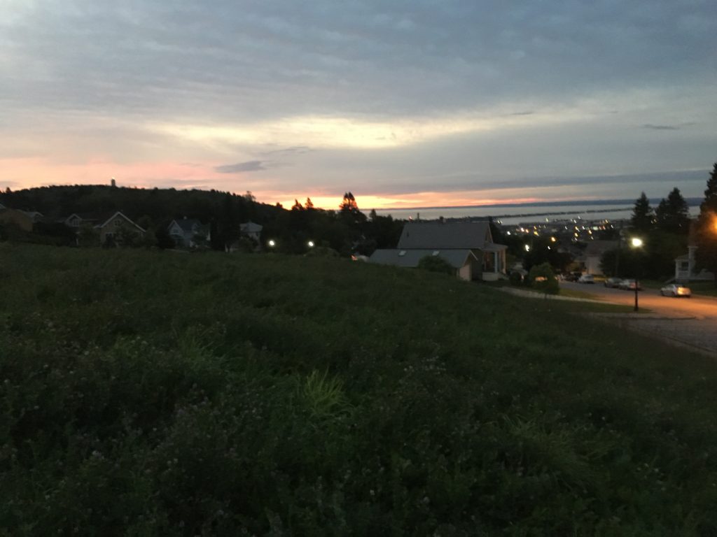
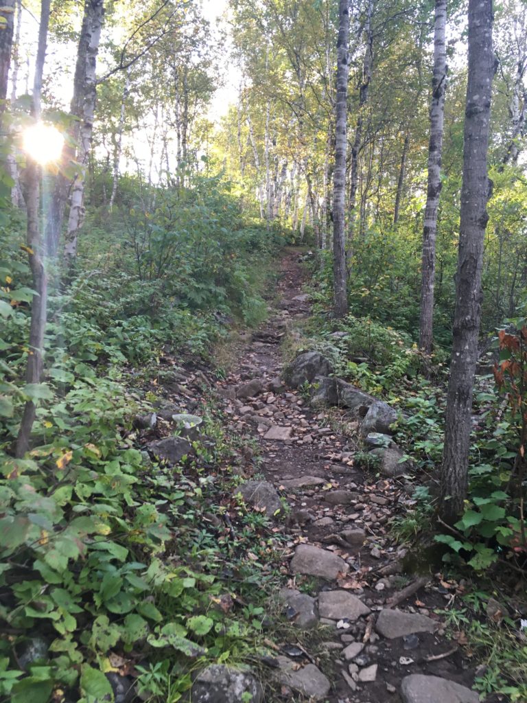
I saw the early risers starting their day as I hiked through a gate, across an open field, and then up towards to the Piedmont trail system. Up and up, and I was breathing decently hard. The sunrise was really quick and it was pretty bright in seemingly no time.
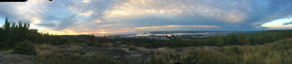
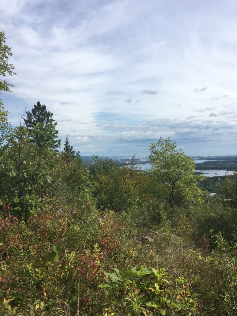
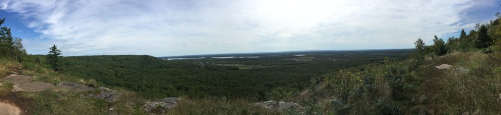
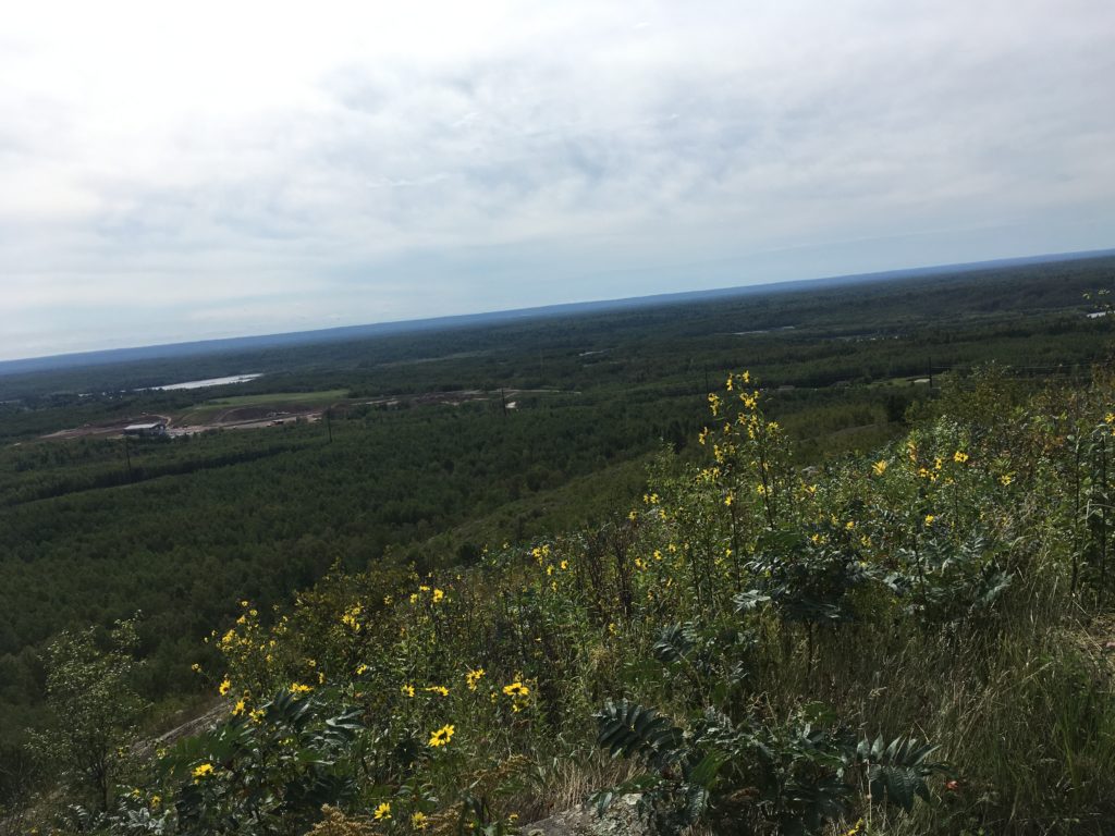
On the rocky outcroppings near Piedmont, I was regaled at the classic North Shore vibe of sweeping vistas. What a place to live, I thought! Duluth has got it all, and I felt a swelling of pride for where I call home. That gave me a boost of energy, coupled with the caffeinated chews that I was gobbling down, and I felt like I was cruising. With my music on, Jon Wayne and the Pain, the hike was going by easily.
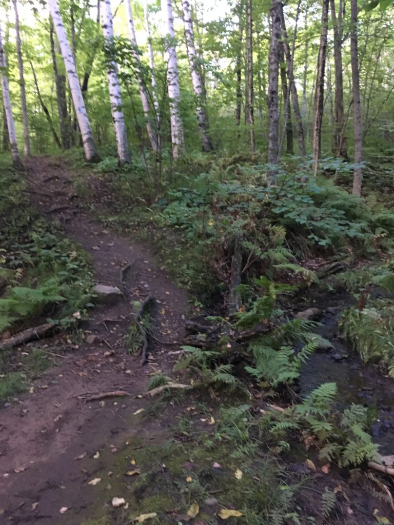
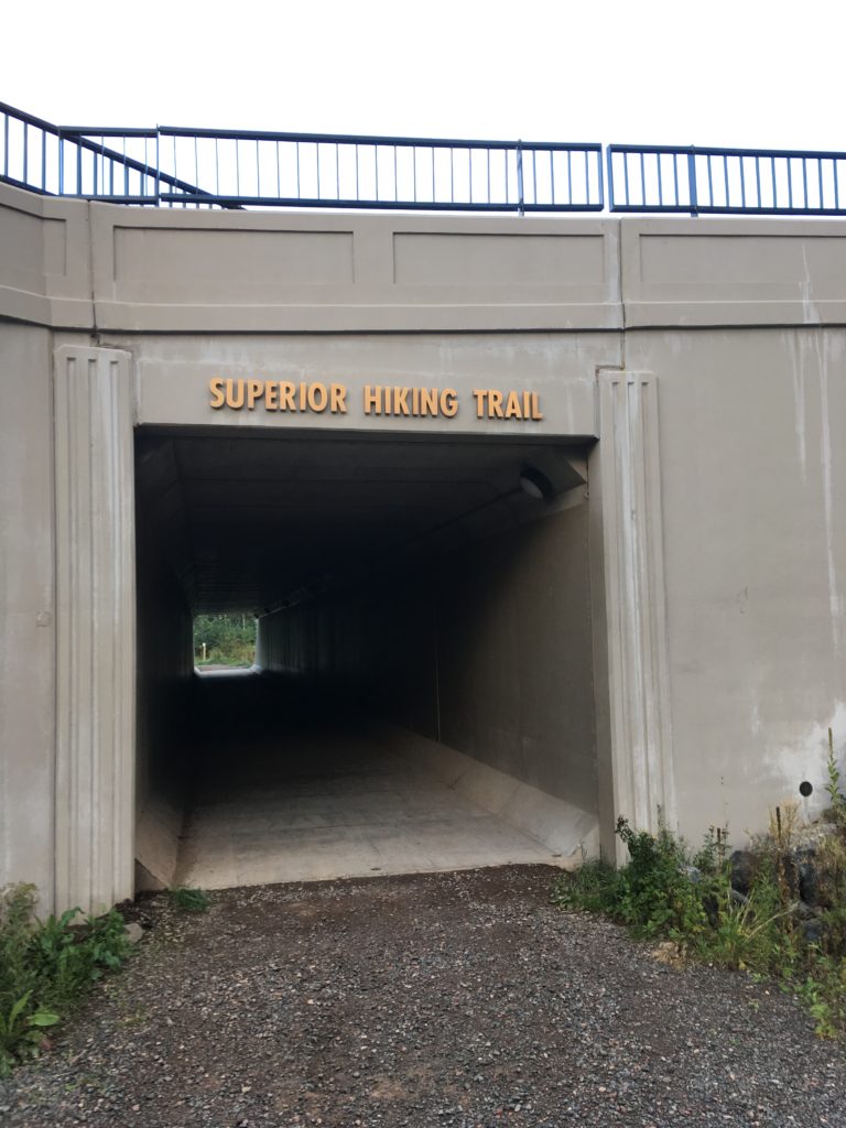
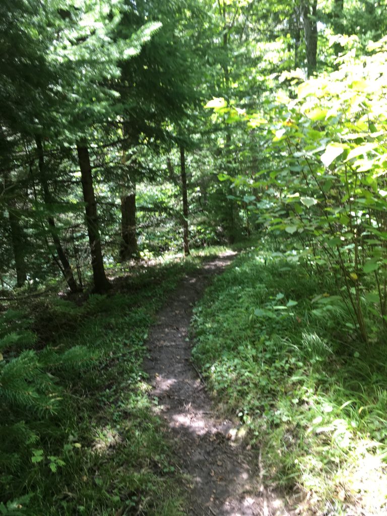
Through some classic singletrack, down to Haines Road and under the tunnel, I was sad to see the graffiti taken down. It was sketchily-written phrases like “You Can Do It” and “Believe In Yourself” the last I’d seen! I was really in the zone climbing back up to Brewer Park, and noticed the heat a little bit after just zinging up to the top. It was nice to walk along the ridge, but just like any Sawtooth Mountain trail, it was soon to go back down, down, down to Merritt Creek. The trail was flying by.
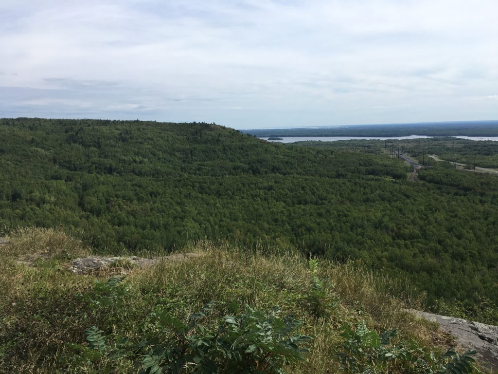
I’d done this same trail backwards at least four times all the way through, from beyond Ely’s Peak north to Enger Tower and beyond, so I was pretty familiar with it. Hiking it southbound, which I’d done maybe only once, seemed easier. Maybe it was the music or the focus of the last day, but I was making really good time as I got to the roadwalk near Cody Street. Under the huge I-35 above, I walked parallel to a woman and her dog for a bit, but perhaps 50 feet apart. I jetted back into the woods on a seemingly new section of trail. I asked myself out loud if they just made this. Back up towards Spirit Mountain, but first is a tough section along the freeway. Up to some decent views of West Duluth and the narrowing St. Louis River, and along a lot of exposed rock.
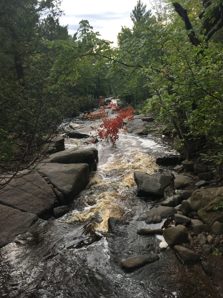
I was getting a little bit tired back into the forest, over the four wheel trail, and further towards Spirit. I knew it was just a wave of fatigue, though, and put it out of my mind. I put on some more music, which helped. T.I.’s Trap Muzik did the trick, and I was feeling better. Down a lot of stairs, then up on the ol’ Voyageur course, near the turnaround on the the grueling climb back up Spirit. It didn’t seem as grueling today as it did 6 weeks ago. I heard some racket in the distance, and wondered if some hooligans were goofing off. That’s what that truck must be, parked on the non-maintained ATV trail along Knowlton Creek. Across the bridge, and I saw some people hauling lumber. I follow closely. It must be some trusty SHT volunteers again! Sure enough, a nice long hike in, and I saw the same guy from the day before and a few new volunteers making a bridge. I stopped to chat once again, made a point to ask if it was Larry Sampson (it was), and laughed when he said that I was the guy he was telling them about. Cool. I left pretty quick after they ushered me along. I tripped going across the gorge, but caught myself, and joked with them how they should build a bridge there. It was cool to see Larry twice in a row.
Another round of fatigue hit me while walking down to the chalet at the bottom of Spirit. My pinkie was causing me grief. Again, it wasn’t necessarily the pinkie itself, surprisingly, but the shim I was still using would constantly shift, and the bungee cord put pressure on certain parts of my hand. My ring finger would be incredibly tender on the very top and so I’d move the bungee to the side slightly. A stretch would hopefully create some slack, but ten minutes later and it’s all shifted back. I was experimenting with every grip possible trying to take the pressure off my my poor thumb and pointer finger having no help with the duty of gripping my trekking pole. I broke open my Clif Bar and ate a small chunk, trying to conserve. I made a plan to eat lunch at Ely’s Peak, and just needed to make the Clif Bar last until then.
Past the chalet, up and up, back up and I grinded my way to Skyline. The sun was out and it was a beautiful windy day. I thought of Voyageur, which shared the same course along the gravel Skyline Boulevard for the time being, and remembered being heckled for taking a terrible tangent. I made a point of following the tangent of the curving road this time. At Magney, I paid close attention and got on the right trail back into the woods. There were plenty of creeks all day, and I was feeling good on all fronts: hike, drink, eat, sleep. Well, I was totally sick of walking, desperately wanted to chug, could eat anything and an insane amount, and so fatigued I constantly thought about sitting down. But when push comes to shove, I was still walking, not going to die, and felt like I could hold a 3mph walking pace indefinitely. By Bardon’s Peak and my lunch spot in view, I was a solid mile ahead of schedule: 7 hours and 40 minutes in, 24 miles on the day. It was a few minutes past 11 o’clock.

Down a bit, up a bit, scrambling across open rock faces, and I was at the spur to Ely’s Peak. I didn’t take it, but started to keep my eyes peeled for a lunch spot. Across some very technical rocky sections, down a bit, and I stopped on a big rock. It was very windy, making it nerve-wracking to eat lunch with wrappers and such. I savored my last big stash of food, leaving one Lara bar, some smashed chips and few handfuls of soggy trail mix for the rest of the day. My ring finger on the bum right hand was very tender from the bungee cord pressing on it. I rewrapped it with my last bit of athletic tape, and ditched the bungee in my pack. I didn’t want to stand back up, but grabbed the power bank with plenty of juice left, hooked my phone in and set back off, no time to waste.
On the way down Ely’s, I noticed my finger more than anything. It was a major ailment! There is no better bone to break than the pinkie finger, but it was a domino effect where I had to alter my grip on the trekking poles, that made my finger sore, my hand felt off a little bit, putting more pressure on my left side.
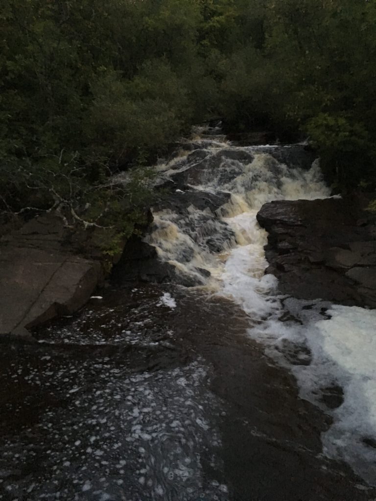
I cruised on the Munger Trail, over Beck’s Road and back into the woods. I needed water from the creek, and decided to stop there. It was only a mile from my lunch break, but I spent the time to drink water and plan. With a renewed mindset, I set off towards the challenging Mission Creek sections. The more I thought about it, the more I wondered if I could run it in from the swinging bridge at Jay Cooke. I’d hiked that section only a few weeks prior, and it was flat, wide and runnable. I’d at least try! From here to there, my plan was to hike non-stop. There is no other reason to stop until my afternoon stop, which was probably going to be right after the swinging bridge. A straight shot for perhaps 12 miles, four hours at 3mph, and then run it home for the remaining 8 miles or so.

I put on some Rage Against The Machine, and was revamped from the lunch and mid-day breaks. I kept telling myself how this is where the seconds turn to minutes, minutes turn to hours. Every moment was crucial to make sure I’m making forward progress. In the hilly Mission Creek sections, I felt pretty good. A constant white-noise in the back of my mind was to sit down, but I looked away from any rock or stump or bench. Who puts a bench out here!?
There was a big climb, up and up out of Mission Creek, and I pulled out my last trail map, map 1 of 6. It looked like it was all flats after this big climb. To Palkie Road, flats, easy horse trails from there, and then beyond the swinging bridge, I was planning on running. Over the crest, and I entered Jay Cooke State Park. A slight downhill was enough to get the idea to run. I was feeling OK, but why not give it all? I awkwardly started a running gait, which felt so painful and foreign. Nope, not gonna happen, I thought, and stopped. I walked down the rest of the slight downhill, feeling a little defeated.
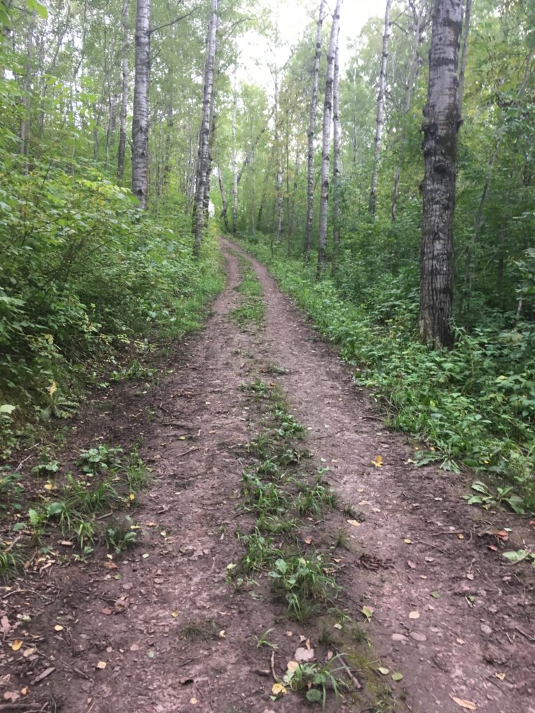
Easy horse trails, flat or slightly downhill ahead, and I had to try again. I remembered my triathlon experience, how running off the bike is always so weird right away with jelly legs, but you always get in the groove. I need to get in the groove. I started running again, through the pain and awkwardness and bouncing pack, and got into a groove. My pack was jumbling around everywhere, water spilling from somewhere on my water bottle. I tried to hitch the pack down on my back, holding my trekking pole balanced lengthwise in each hand. Poling didn’t work too well as I ran. I got into the groove! It was much more strenuous to run, of course, and my shoes felt like I had wooden inserts. I was relieved to see the Palkie Road trailhead, and ready to let ‘er rip on the Munger Trail. I’m sure the bikers on the trail thought I was insane. I stopped briefly for a picture, but was focused.

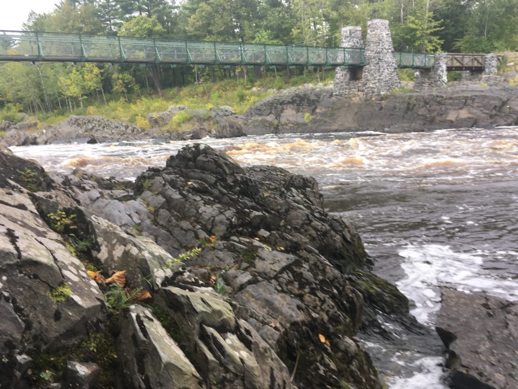
Into the woods, back onto horse trails through the state park, and I did some quick math from my watch’s data. I was making BIG time compared to hiking. I figured I was running at least twice as fast as I could walk. In running just a half hour or hour, I was about four miles ahead of my 3mph target for the day. This section was again part of the Voyageur course, and I put my mind back to July, where I was at this point at mile 45 or so. I ran then, I can run now. So I cruised, only stopping to walk on uphills. I was at Jay Cooke in a flash. I got my Facebook out, trying to do a live video across the bridge, but it didn’t work. I didn’t have fast enough cellular service, so walked across and decided to fill up water in the St. Louis River. Most of my water had spilled, but I was running about 6mph and only had about 8 to go. I drank as much as I could as I walked back up to the trail. I’d probably spill all of this water out anyways. Running was causing me to sweat completely through my clothes, and it looked like I got caught in rainstorm, but I wasn’t going to keel over and die from dehydration. Well, what would that feel like, anyways?
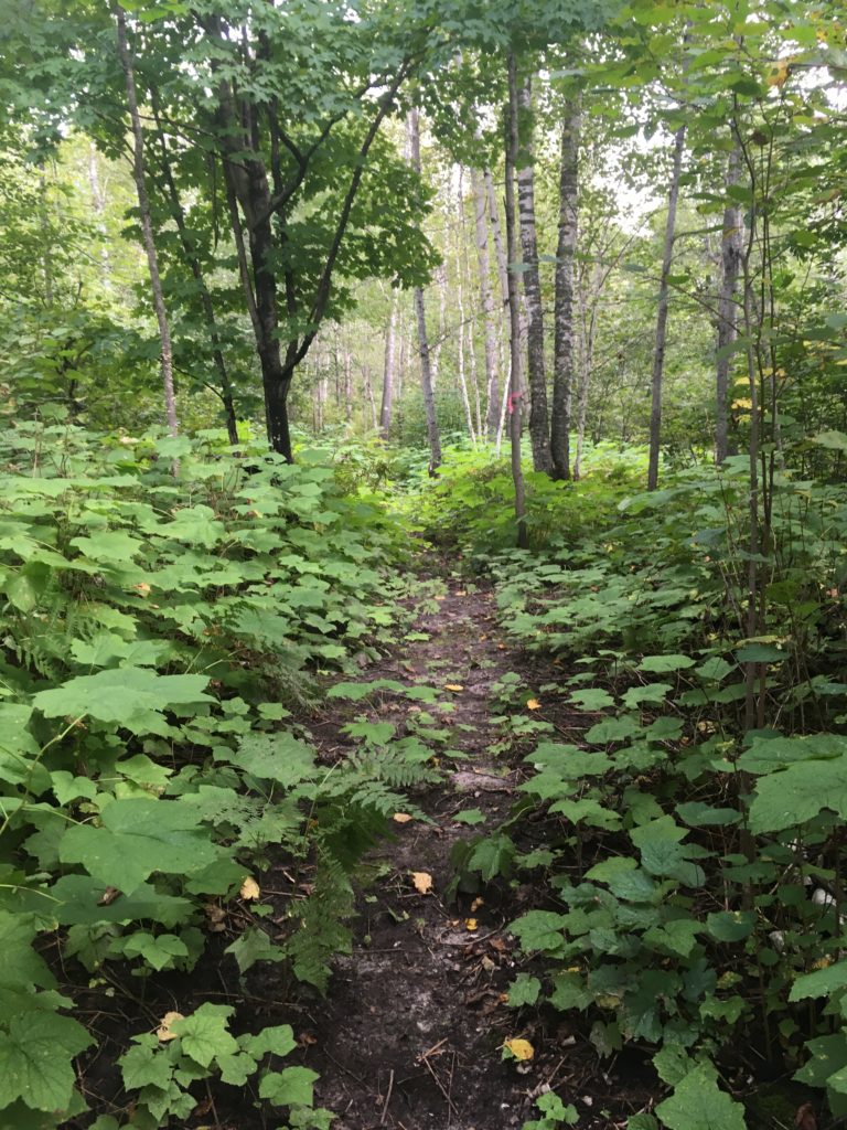
I stuck to the plan and kept running through Jay Cooke. It was getting dark with clouds, which felt nice, but was warm and I was definitely sweating. I stopped briefly to eat the rest of my food. The lemon Lara bar in one bite, a dump of chips in my mouth to finish those off, and a big squeeze of the nearly liquefied trail mix, which was delicious. The food did not phase me. I washed it down with the remaining non-spilled water, and kept running. I ran without stopping until the trail bumped back into the singletrack. This was the last part of the trail that I hadn’t been on at all, and I was looking forward to getting to Highway 23 and Wild Valley Road more than anything else. I figured I had five miles left total.
After the hill up into the singletrack, it flattened back out and I kept running. It was a little more challenging to run on windy singletrack, and I didn’t feel very sure-footed. Watch, I break both of my ankles five miles from the finish. There were a few screaming downhills. I still walked any big uphills. Out of nowhere, was spooked by a black bear, and it sounded like there were two that went separate directions from the trail. I caught a glimpse of one of them, and started yelling! Watch, I get mauled by a bear four miles from the end. I was focused.
I wanted to get to the finish at 4:20pm, the exact time that I stopped for an afternoon break eight days in a row now. I was pushing really hard given the circumstances, 40 miles in on the day, fatigued legs, a broken finger, a 10-pound pack on. I thought several times that I was right about to cross Highway 23, but nope, the trail would curve around and the clearing I thought I saw was just woods. Just more woods. Finally, I heard traffic, went down the ditch, up and over 23, and down the gravel Wild Valley Road to my car.
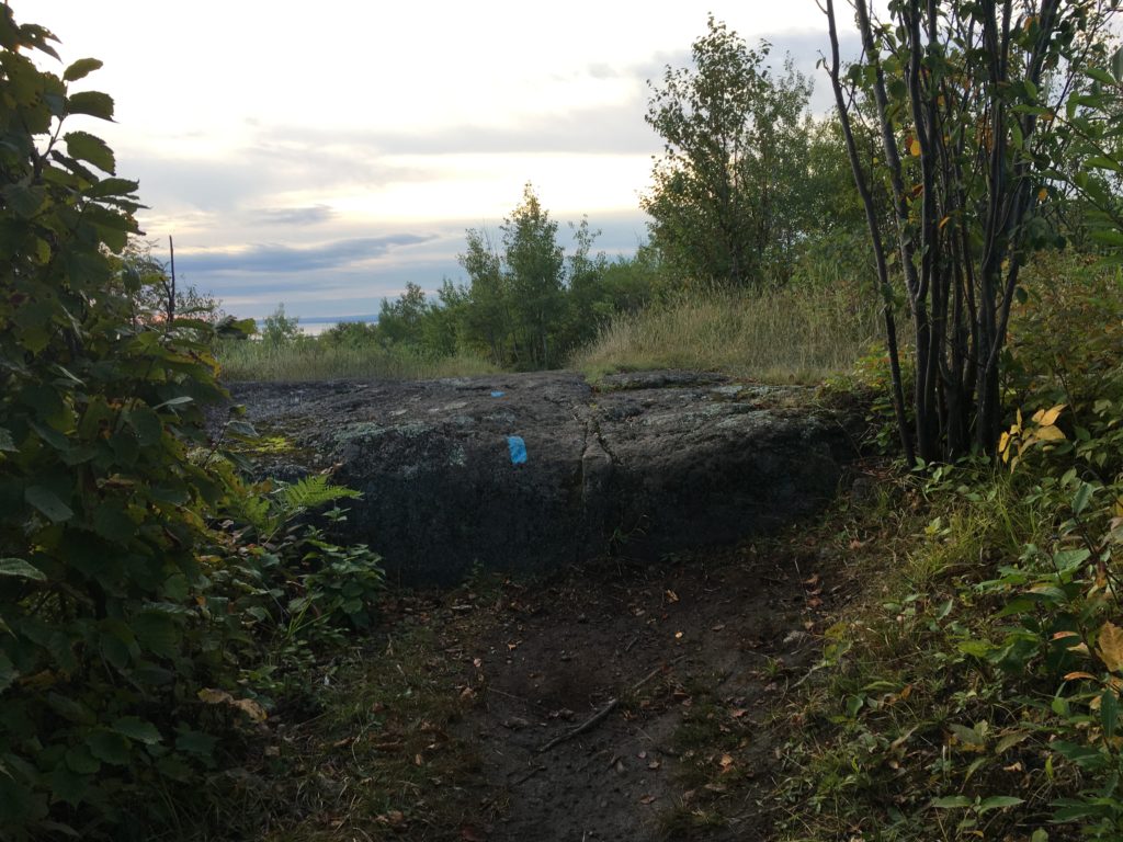
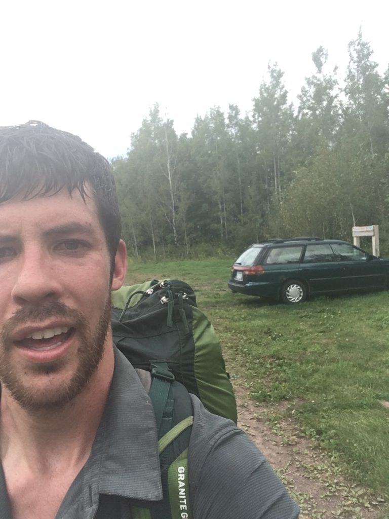
I was still running. It was great to see my car, and I stopped very quickly at it. I got my keys out, opened my car up, grabbed a bottle of root beer and a bottle of Gatorade. I shoved them in the back pocket of my pack, and continued running down the road. The Superior Hiking Trail was officially ended, but I was going for Canada to Wisconsin. The northern terminus at Canada is set at 270 Overlook. The future southern terminus, which I had scoped out twice in the previous month, was in the middle of the woods. I knew there was a trail cut, after a mile more on Wild Valley Road, and flagging into the woods even past the Wisconsin border, courtesy of the North Country Trail Association. On my previous GPS missions, I determined that the border was near a spur trail to the railroad, a stack of wood and two trees, parallel on opposite sides of the trail, with blue taped wrapped around. Larry Sampson confirmed this, so I definitely knew the spot. In fact, I initially pinpointed the location because I was stung by bees at the exact border, threw my trekking poles in the air, and zig zagged on the trail to go get them later! The GPS data told the whole story.
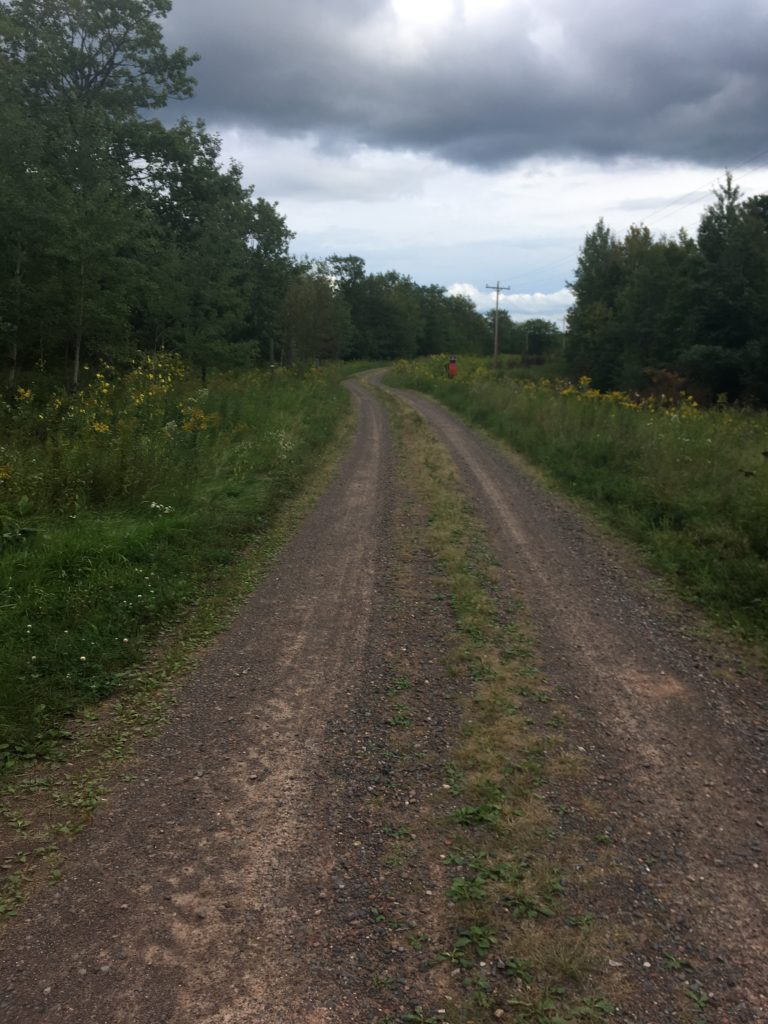
As I walked away from the car, I grabbed my phone to shoot another live video with my car in the background. I put my phone away, and set my sights forward. So, as the sun came out briefly through the cloud cover, I ran down the unmaintained dirt road to my final destination two miles away.

A car passed me, surprisingly, and kicked up some dust. I ran longer, thinking of how long it’d take if I was walking. How tedious is that?!? Speaking of which, I looked at my watch. It was 4:15pm. No way I’d make it across the Red River in 5 minutes!! But, I thought of the time I started, so long ago, eight days ago. It was September 1st at 8:39am. It is September 9th, and 4:39pm would make 8 days, 8 hours. That is my goal. So I picked it up. I passed a parked van. Was that the one that drove up on me? I turned the bend and saw a guy with his dogs. I caught up to him and just ran by. I may have said hi under my heaving breath. He said “ambitious!”, and I told him, while running past, how I was so close to the end of the trail. The pop and Gatorade were incredibly heavy, and probably added three pounds to my pack. After carving it down to around 10 pounds, the extra three weighed heavy on my shoulders as I ran. It was a little ridiculous, and I jogged out of sight.
Finally, the flagging into the woods appeared. I thought I’d missed it. Down the ditch, through the tall grass, and then onto the nice cut trail. I was really hauling ass, and checking my watch constantly. 4:20, then 4:25, still not at the Red River. 4:30, and an intersection flagged both ways. Pretty sure it was left… I went left and right down to the Red River. The SHT crew had begun to build a bridge over the river, and it was cool to see that stage of development. I scurried across the river bottom, in the grey clay, and up the other side.

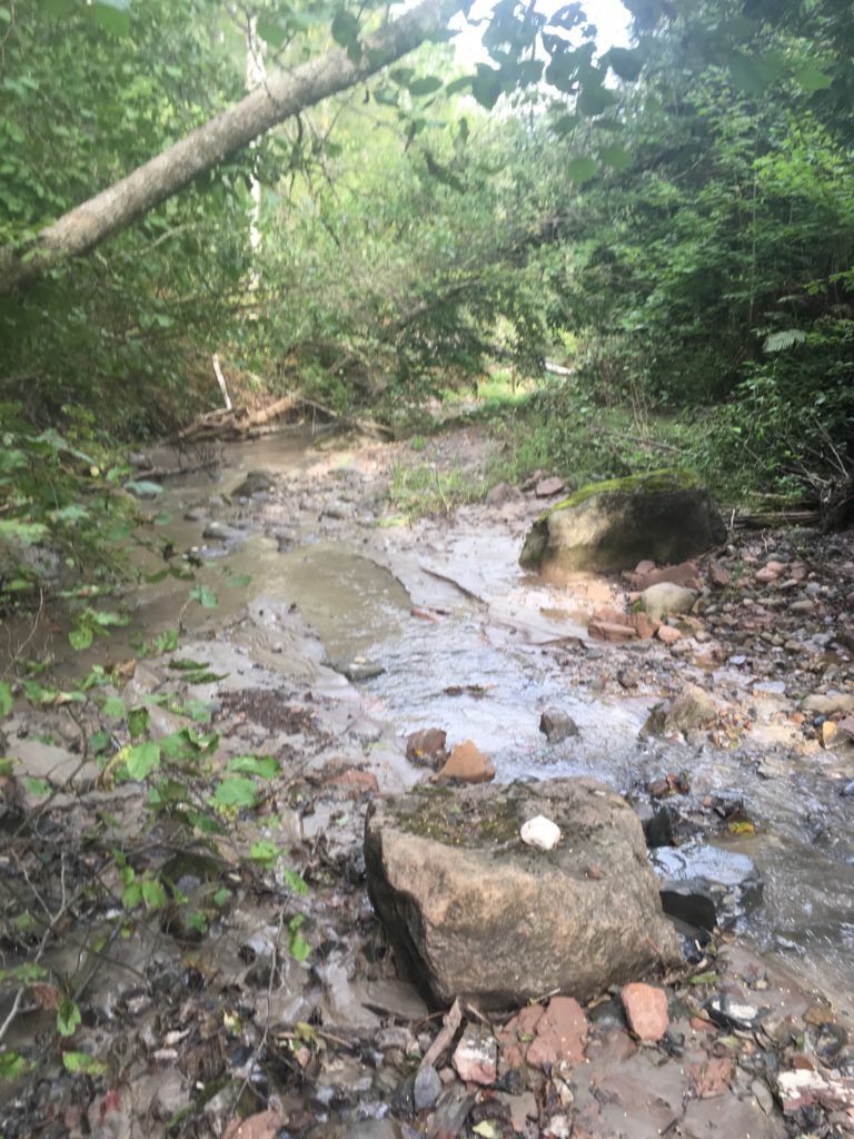
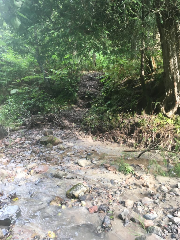
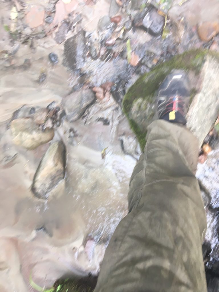
Up out of the small gorge, I had to walk. 4:36. I started running and saw the void of trees to the right where the railroad tracks run. So close. I felt like I was running so hard, no feeling in my legs or my feet or my shoulders or pinkie finger. I saw the blue tape, I ran past the trees, past the spur trail and wood. I stopped, done. I hurriedly grabbed my phone and took a screen shot. 4:38. One minute short of 8 hours exactly. 8 days, 7 hours, and 59 minutes it is.
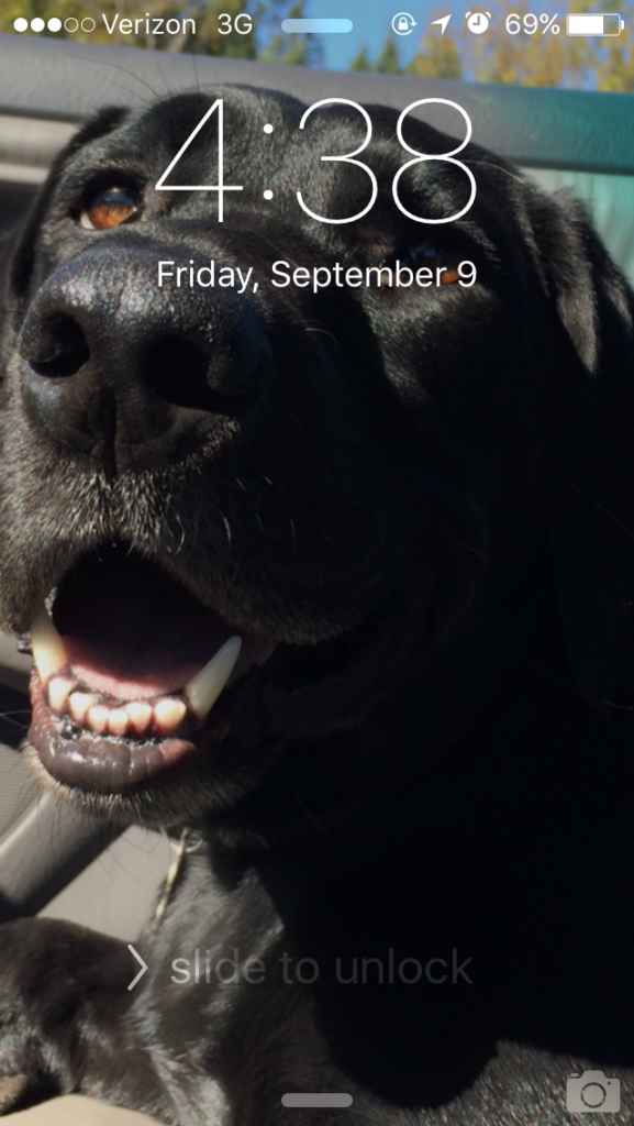
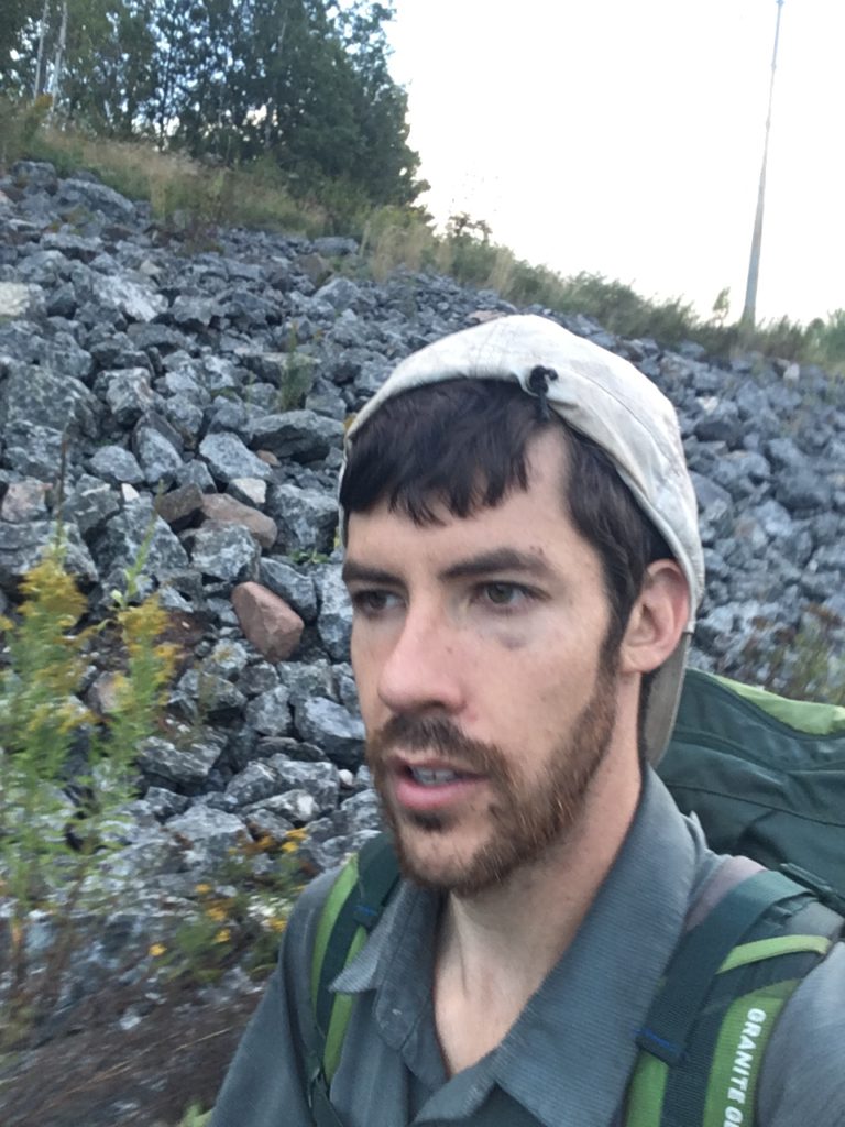
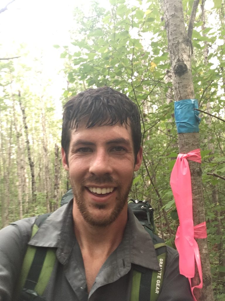
I stopped my watch, hoping that even in the Ultratrac GPS mode, that connects to satellites less frequently and therefore consumes far less battery life, I’d stop exactly at or slightly past the Wisconsin border. I saved the long, long day onto my watch, over 46 miles, and walked to the taped trees to take a finish selfie. There was nothing to say it was the border, no sign, no plaque. I wasn’t even sure if this was truly the border, but it’s close enough, and something to take a selfie by.
After the necessary finish line duties, I took of that stinking pack, promptly sat down on the stack of wood, and took out my drinks that I stashed from the car. I chugged the Gatorade first. Chugging was great. It was worth the weight. Next, the sweet, sweet root beer. What a treat. Then I just sat there, in awe. In a daze that it’s all over. In a stupor of fatigue, from running miles 298 to 308. Hmm, what now? Well, I missed my afternoon break time for the first time in 8 days, so I figured I’d do what I did every other day for my afternoon break.
I relaxed briefly, and then put my pack back on and started back to the car, back to walking.
0 Comments